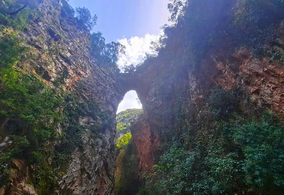
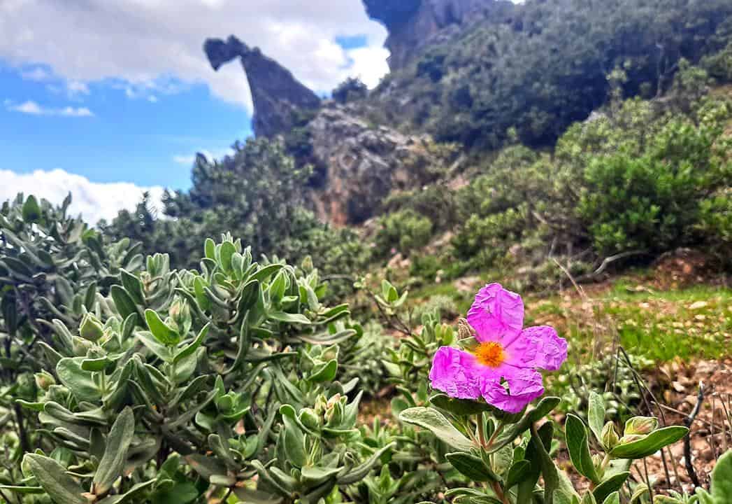
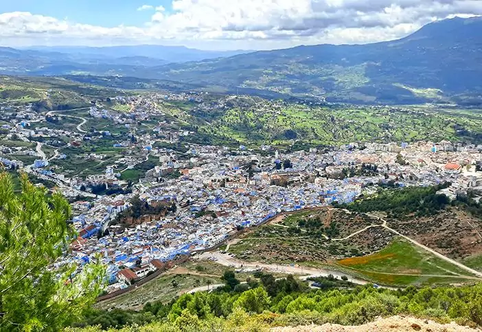
Located roughly 30 kilometers away from Morocco's blue city of Chefchaouen, the town of Akchour serves as a gateway to the region's mountainous nooks. Standing out amongst the area's glut of natural wonders, God's Bridge as its name suggests is a spectacular naturally formed arch, spanning astride a verdant valley.

By: Omri Westmark
Date: 18:11 02.07.22
Last Update: 22:28 19.02.23
Nestled amid Morocco’s Rif Mountains, the rural townlet of Akchour is nothing more than a cluster of gritty homes along a creek. However, its lack of architectural merit is vastly offset by the sheer abundance of natural wonders around, including a series of waterfalls and sapphire-hued lakes. Well-ensconced in the nearby wooded hillsides is Akchour’s crown jewel, the aptly named God’s Bridge, a natural arch that straddles a valley by creating a crossable passage between two mountains.
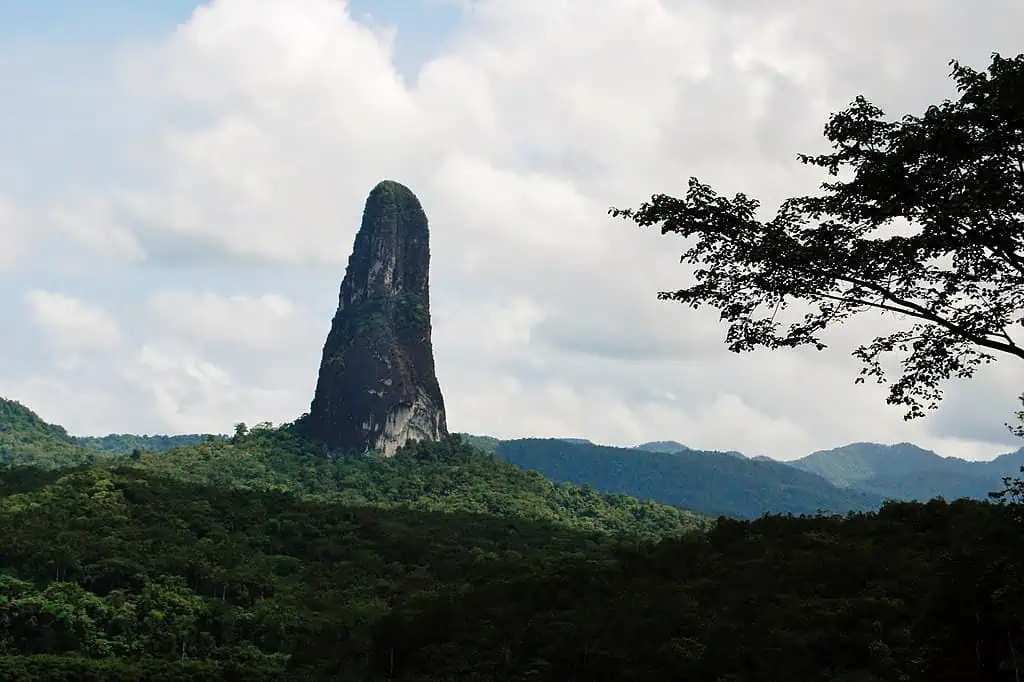
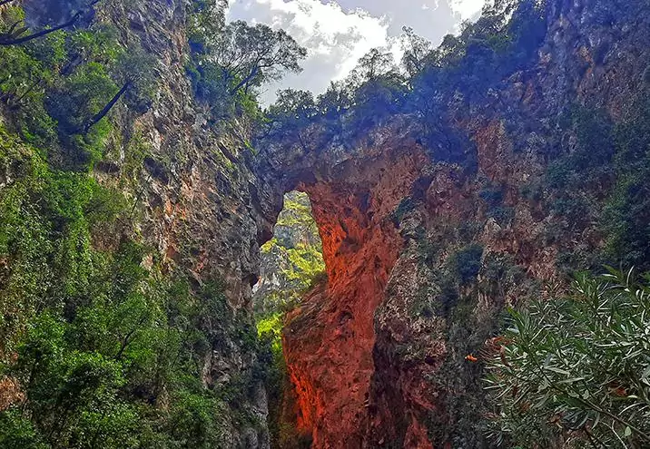
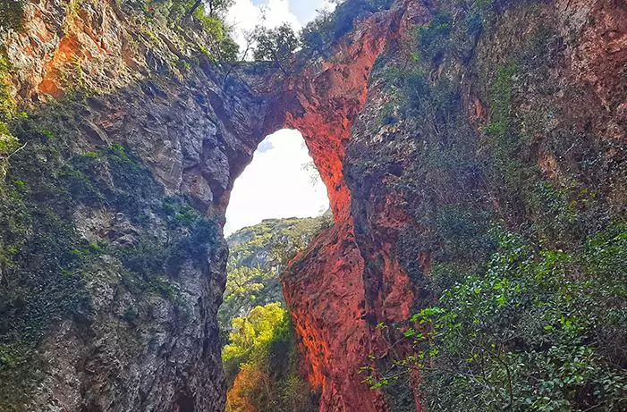
This geological rarity was carved out by the waters of the Oued Farda River, which over the course of millennia sculpted the bridge as it slowly but steadily erodes the limestone massif. Also known as Kantara D’Rabi, the rock formation towers about 60 meters above the river and features strong colors of clay, which in turn are contrasted by the surrounding ample vegetation as well as the emerald pools below. Both its name origins and date of discovery are somewhat steeped in a mystery, as all further info about the stone arch appears to be rather vague.
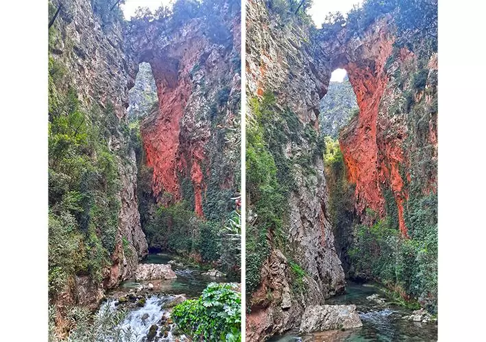
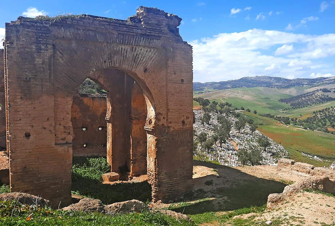
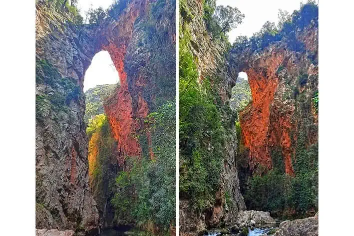
The terracotta-hued stone arch
photography by: Omri Westmark
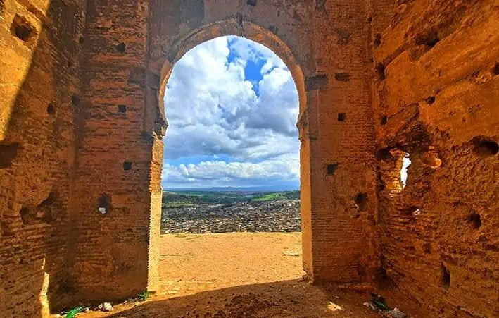
The geological oddity is crossable by foot
photography by: Omri Westmark
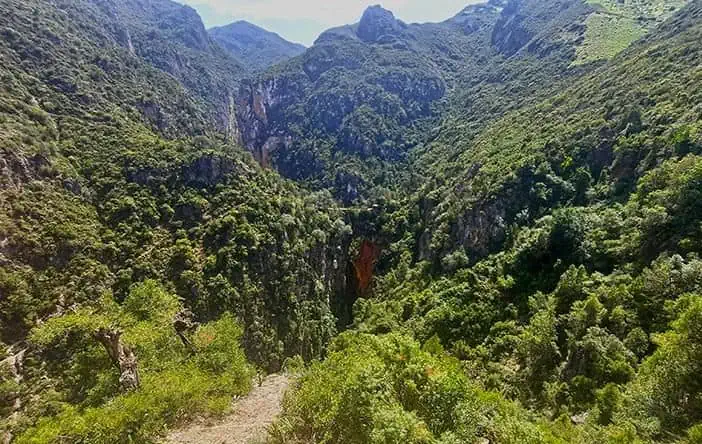
A distant view of God's Bridge from the upper trail
photography by: Omri Westmark
The unique formation was carved out by the Oued Farda River below
photography by: Omri Westmark
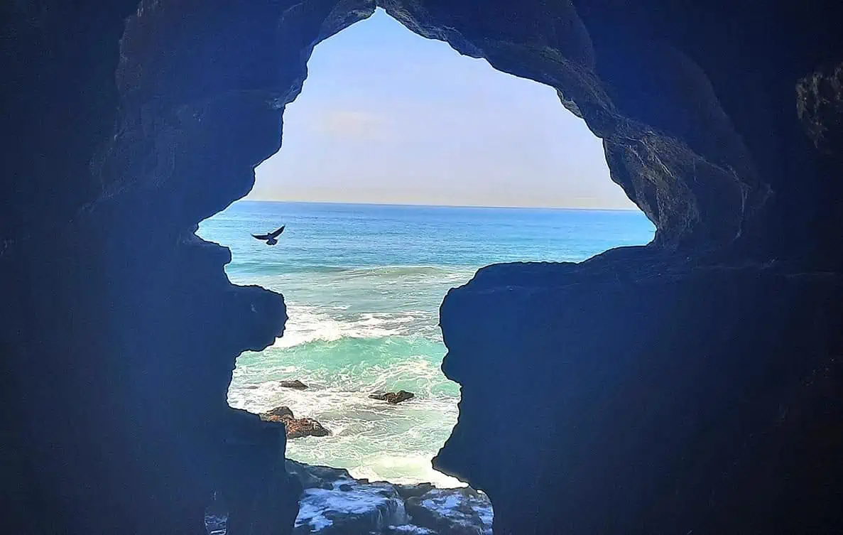
The natural arch is also used by dozens of birds as nesting grounds
photography by: Omri Westmark
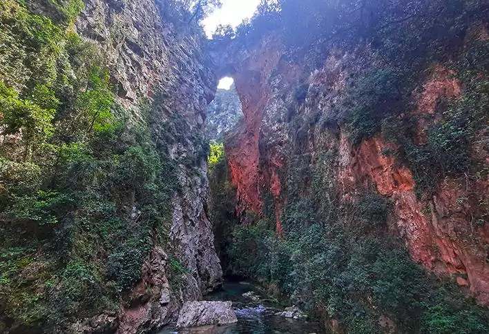
The rocky bridge is best-viewed from the riverbank, which is accessible by the lower trail
photography by: Omri Westmark
Due to its secluded location across a forested canyon, reaching God’s Bridge takes anywhere between 30 minutes to one hour from Akchour, depending on your current physical fitness. The stone arch is accessible by two main hiking trails, a lower one which follows the river and an upper pathway that winds through the steep slopes of the surrounding mountains. Unlike its lower counterpart, the uphill trail crosses through the bridge and then branches into several tracks, each leading to another nearby attraction.
Firstly, getting to Akchour from Chefchaouen takes approximately 40 minutes along a 30-kilometer-long road, and can either be done by car or taxi (250-300 dirham for one way trip). Once you reach the small town, a wide walkway meanders all the way to a crossroad, where you’ll have to keep straight instead of crossing the bridge to other side of the river. Wedged between the river and a giant rock, the narrow path offers a view of a dam and its adjacent sapphire lake.
If you wish to take the upper trail, make sure you stick to the ascending trail, while the river must always be on your left side. The moment all signs of civilization abruptly disappear, the track becomes far steeper as it traverses via the dense vegetation. Thankfully, the further upward you go, the better the scenery becomes with spectacular views of the canyon canceling out any shred of exhaustion. Throughout the trail, there are a couple of scenic points, where one can have a glimpse of the surrounding nature, including our rocky protagonist.
Following the 40-minute hike, you’ll finally reach God’s Bridge, where you are faced with the choice of either crossing it and continue to another place, or alternatively, marvel at the stone arch and then make a U-turn and go to the lower trail for an entirely different perspective.
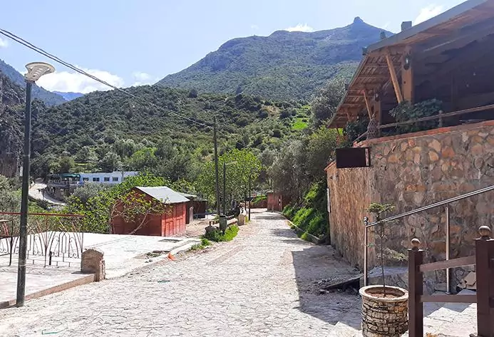
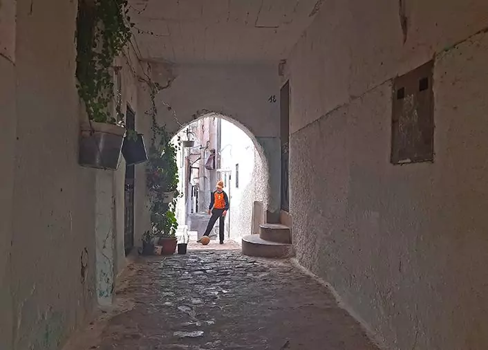
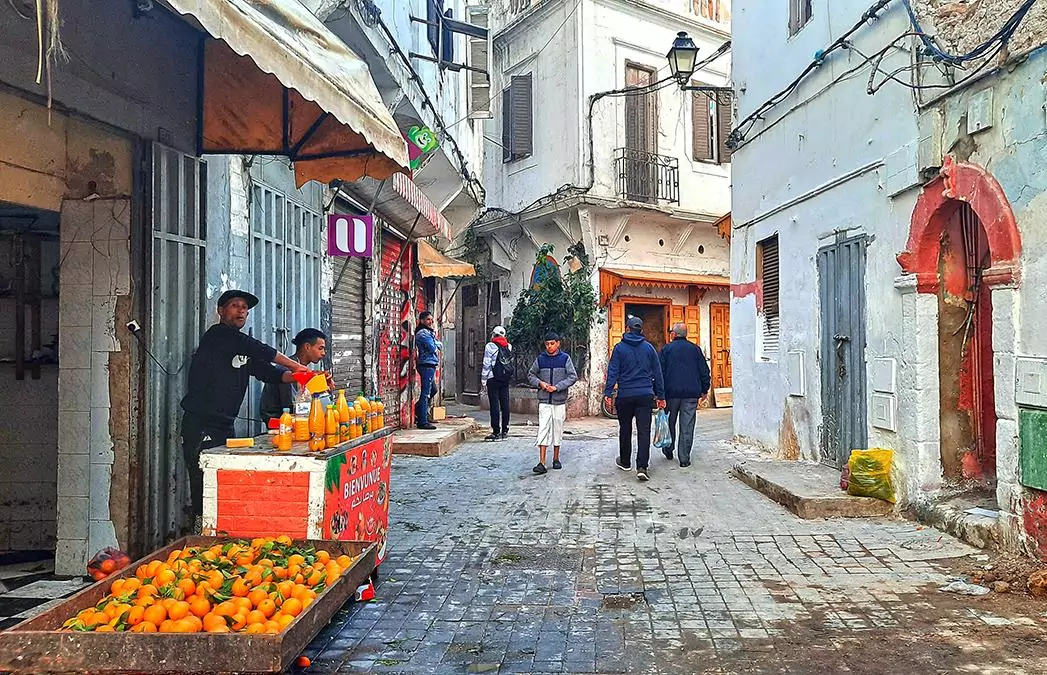
The main street of Akchour
photography by: Omri Westmark
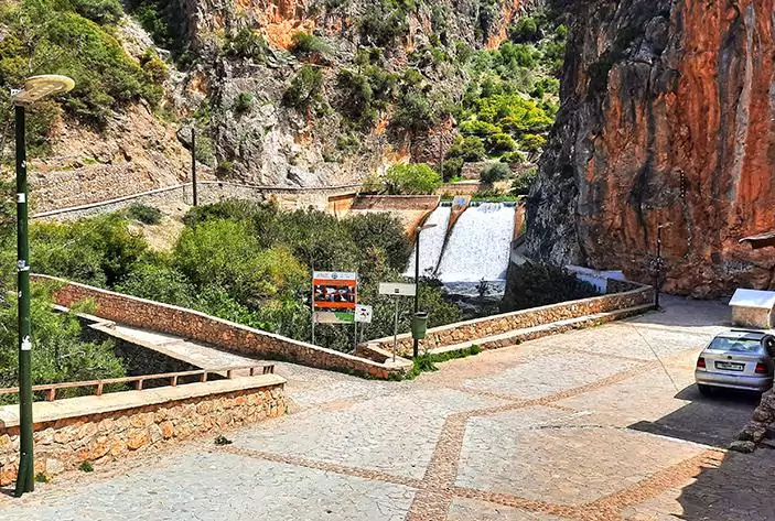
The crossroad where travelers heading to God's Bridge must continue straight and not cross the bridge to the left
photography by: Omri Westmark
The sapphire lake, created by the downstream dam
photography by: Omri Westmark
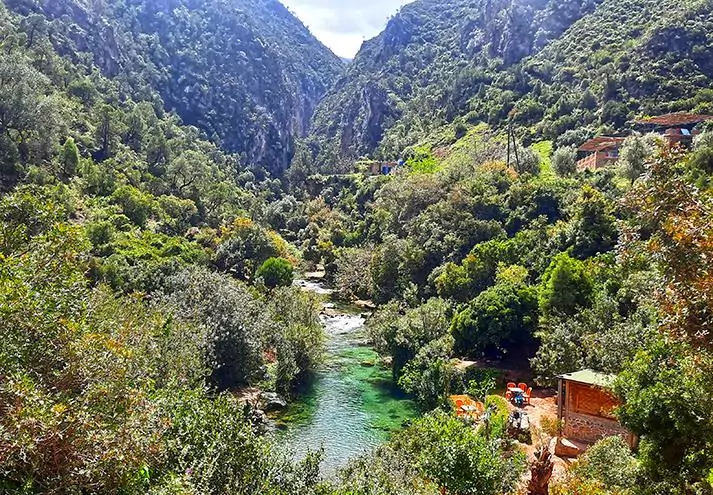
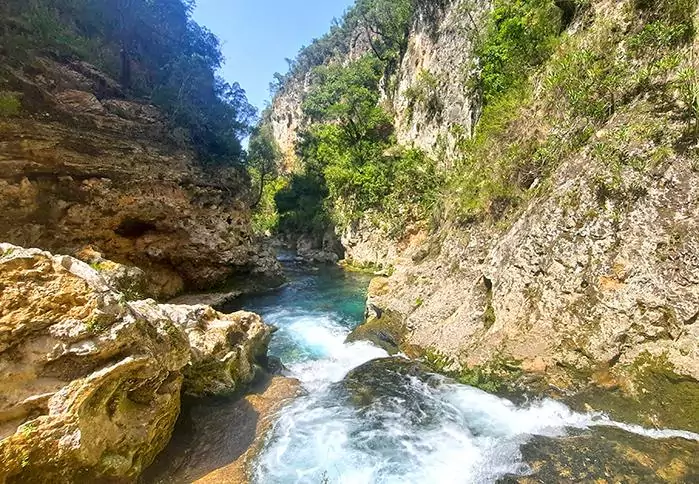
The sparking clear and greenish waters of the Oued Farda River as it cuts through the valley
photography by: Omri Westmark
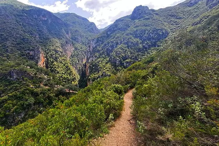
The uphill trail
photography by: Omri Westmark
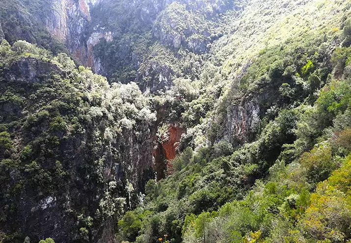
A distant glimpse of God's Bridge as seen from the upper trail
photography by: Omri Westmark
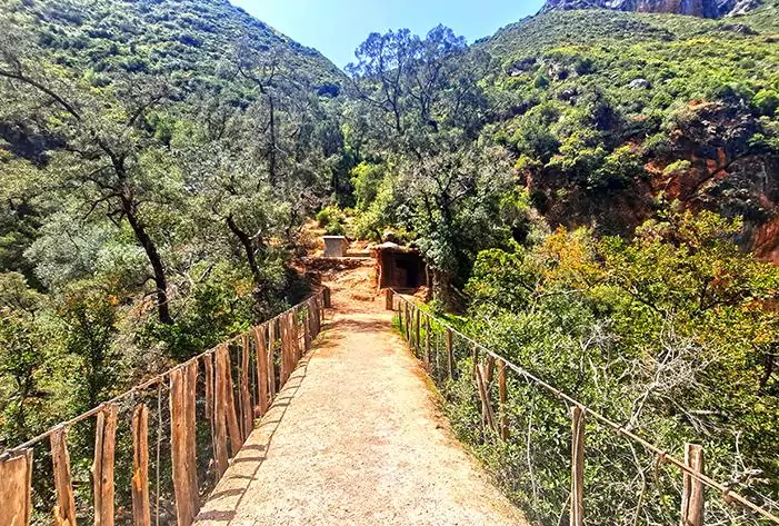
The top of God's Bridge, surprisingly crossable
photography by: Omri Westmark
In stark contrast to the excruciating climb of its hilly sibling, the lower trail is almost entirely flat. Nevertheless, don’t let this fact mislead you since, depending on the season, this seemingly easier track can be far more arduous. The elusive trailhead is preceded by a series of local cafés and restaurants, which offer a Moroccan mint-tea, sardine tajines and other scrumptious eats alongside the gently cascading waters of the Oued Farda River.
As it turns out, one of the most challenging parts regarding the riverside trail is actually finding it given the lack of signage. As you walk along the river, you’ll come across an unassuming brick building with a thatch canopy, whose river-facing side is home to a pathway that extends into the lower trail.
Since the track partially traverses the river, the level of difficulty varies dramatically according to which time of the year your visit coincides with. During the dry season (May to September), the water level is relatively low and so, completing the journey requires mostly hopping between mid-river rocks. On the other hand, if you travel at the rainy months (October to April), expect a risky adventure which entails wading through the water, crossing a broken bridge and clinging into wet rocks with your bare hands as you maneuver your way forward. Suffice to say that sturdy footwear and a small backpack to keep your valuables dry is required all year round.
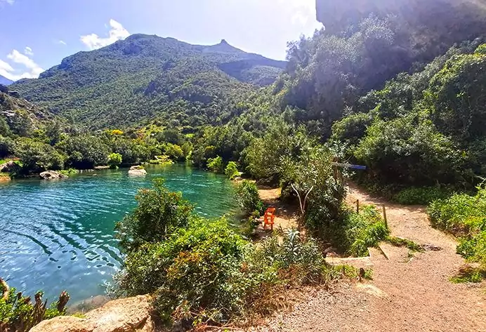
By the time you reach the lower lookout where the trail ends, your laborious hike will more than payoff with jaw-dropping vistas of God’s Bridge, possibly complemented with a refreshing dip in one of the close-by emerald-colored pools.
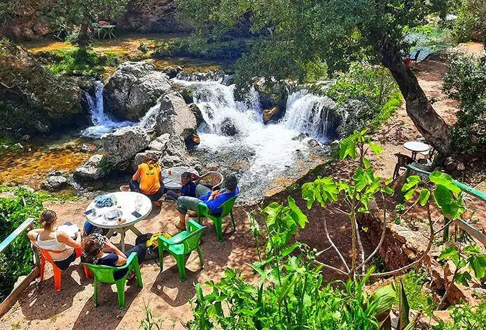
One of tens of cafés and restaurants lined along the river
photography by: Omri Westmark
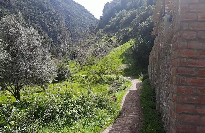
The brick building, whose riverfront's side obscures the lower trail that ultimately leads to God's Bridge
photography by: Omri Westmark
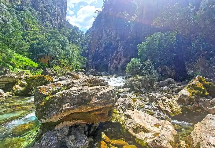
The lower trail entails hopping between slippery rocks
photography by: Omri Westmark
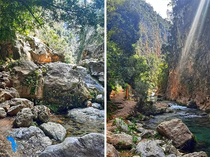
Marked by blue sign, the trail also has dry parts that run along the river
photography by: Omri Westmark
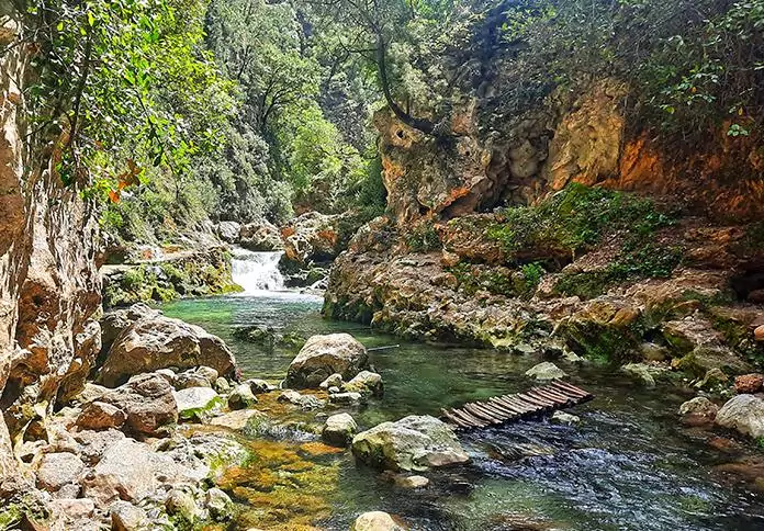
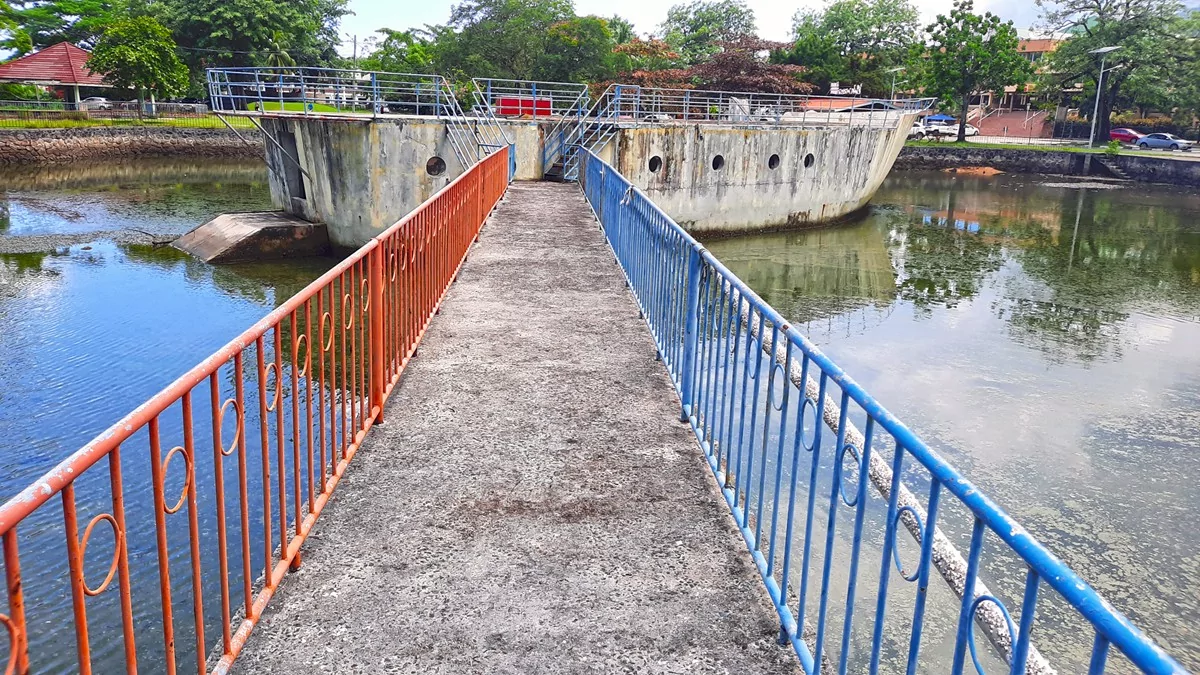
At certain point, you'll have to cross a ramshackle wooden bridge that barely sustains its own weight
photography by: Omri Westmark
Small waterfalls on your way upstream
photography by: Omri Westmark
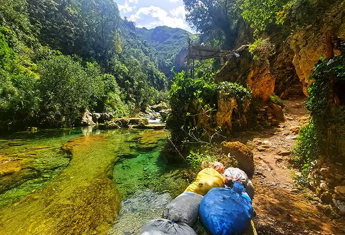
Parts of the trail are fortified with sacks of sand to prevent flooding during the wet season
photography by: Omri Westmark
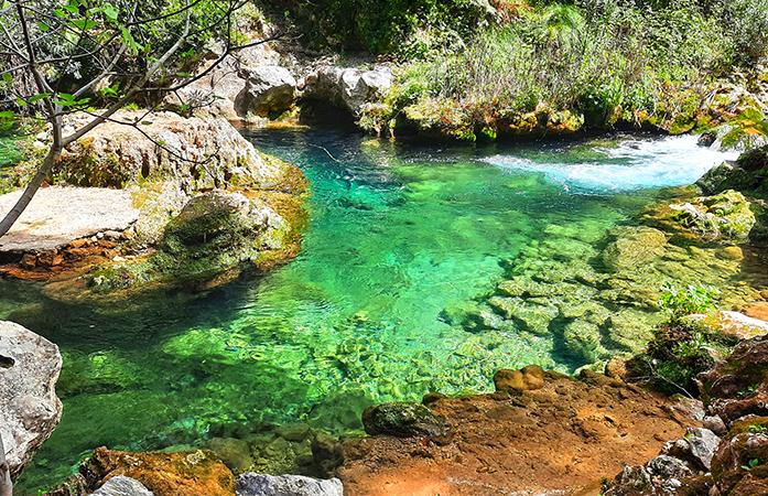
The emerald ponds that await hikers as they reach the end of the trail
photography by: Omri Westmark
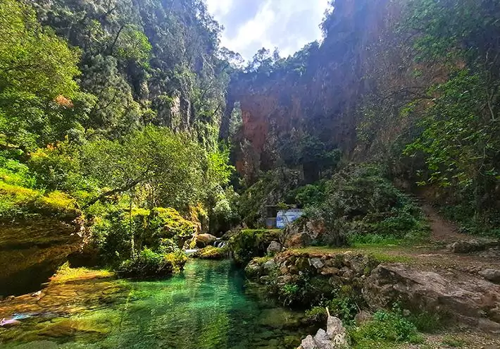
The stunning clear waters of the river on the backdrop of God's Bridge
photography by: Omri Westmark