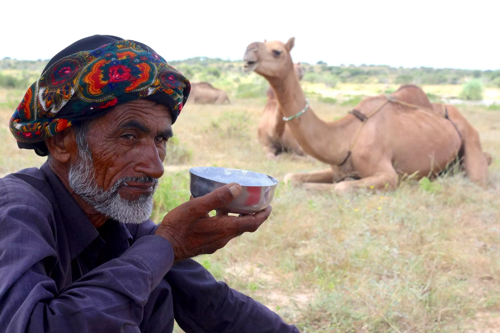
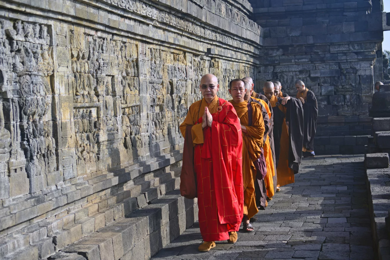
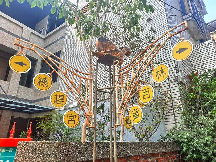
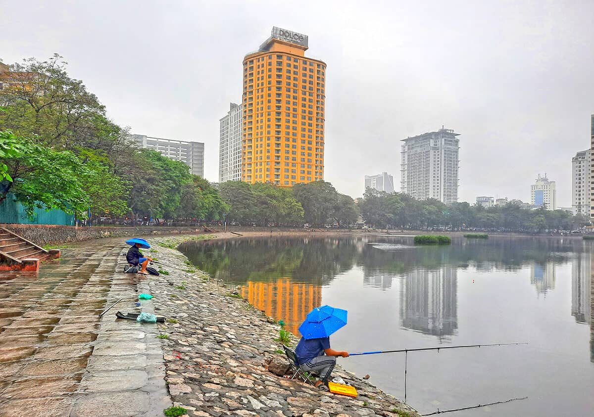
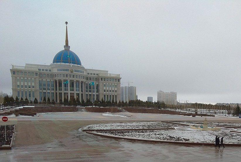
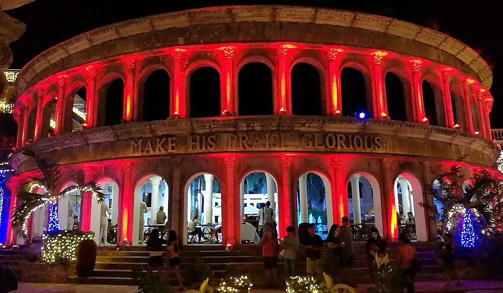
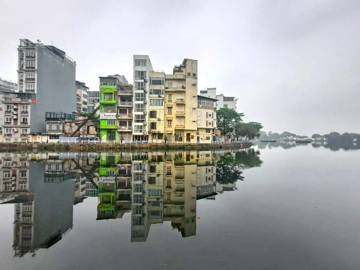
A former British colony and one of the world’s financial centers, Hong-Kong is a major crossroad between cultures, serving as a bridge between the Western world and East Asia. As a popular gateway for passengers on their way to Australia or other Asian destinations, the city is teeming with tourists from all over the world, albeit, the vast majority of whom come from mainland China. The large number of visitors coupled with the overwhelming urban density is the perfect excuse to sort out less visited places and exceptional sites, and luckily Hong-Kong is bestowed with plenty of.

By: Kelly Leong
Date: 13:28 19.09.20
Last Update: 17:02 10.08.21
For first timers, the most striking feature about Hong-Kong that probably comes to mind is its dramatic topography, serving as a breathtaking backdrop for the city’s classy glass skyscrapers.
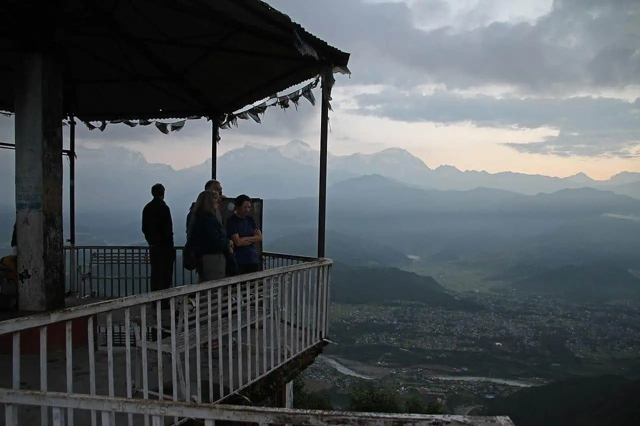
It might come as a surprise, but some of the lush mountains surrounding the downtown are scarcely visited by tourists, as Victoria Peak with its epic panoramic views of the city attracts the bulk of international visitors, leaving less attention for lesser known lookouts.
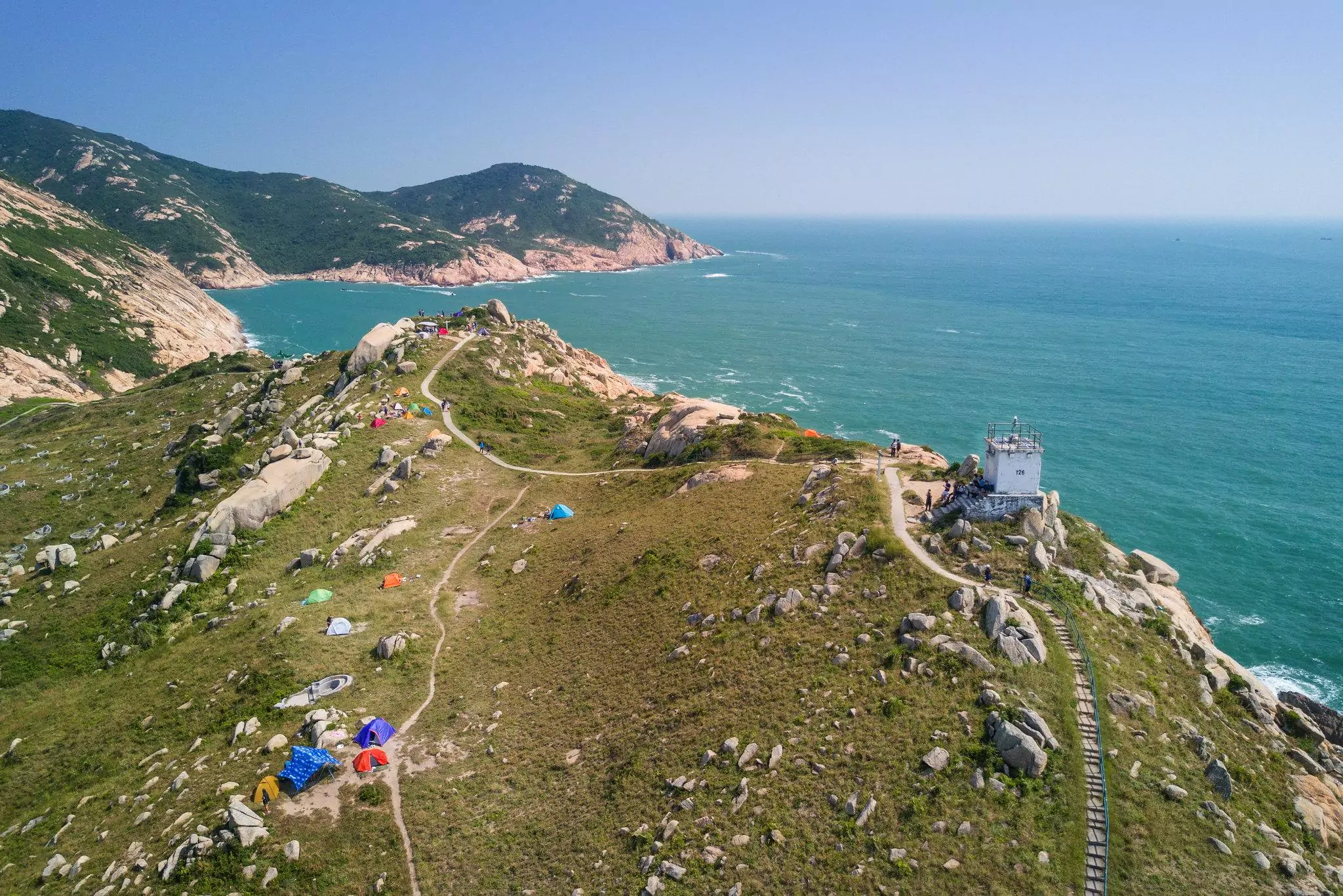
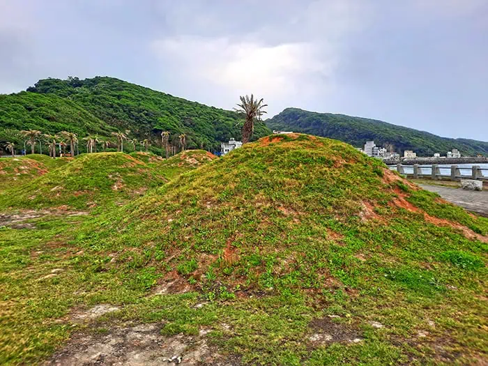
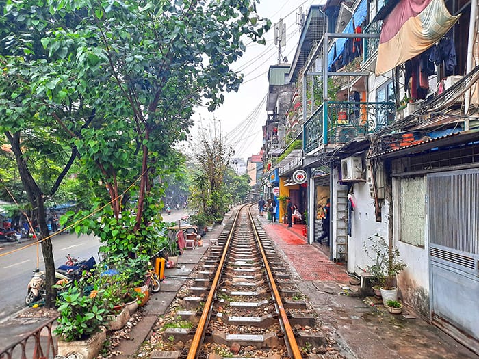
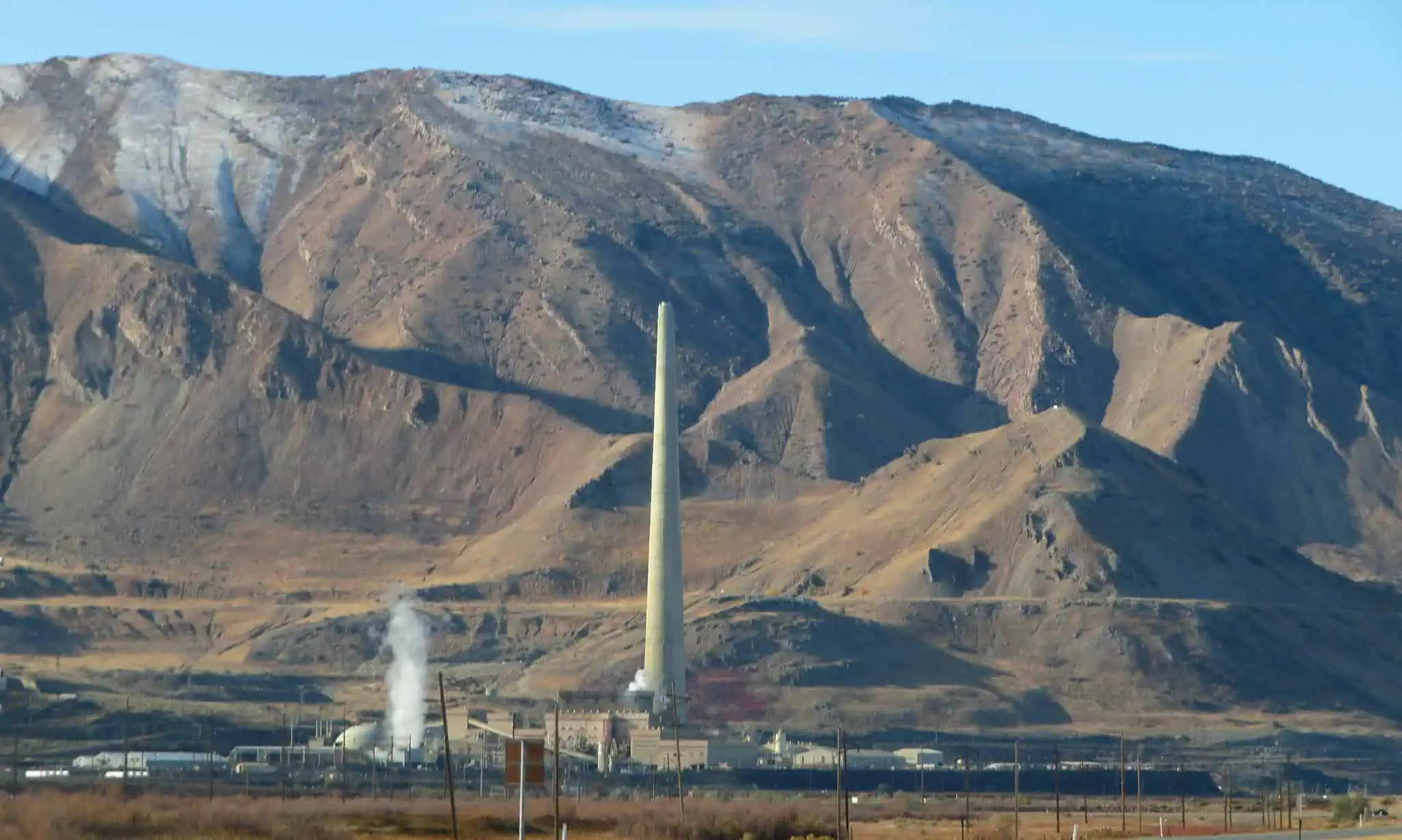
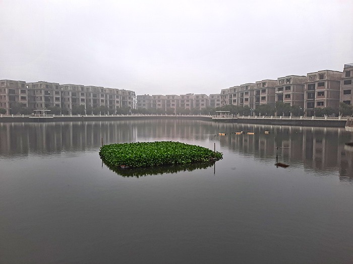
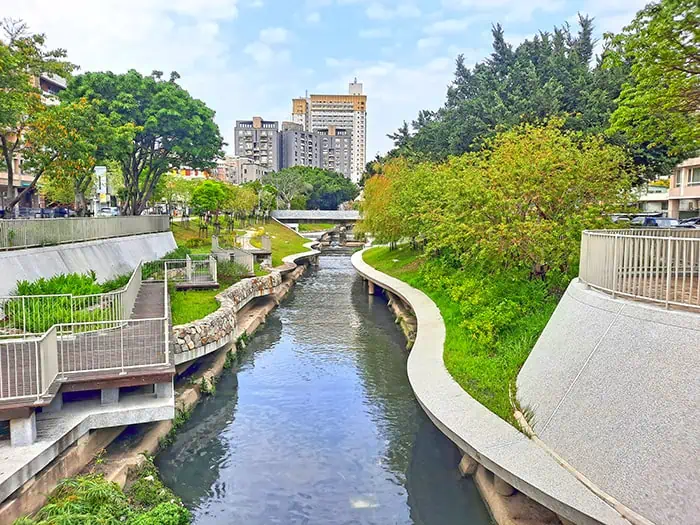
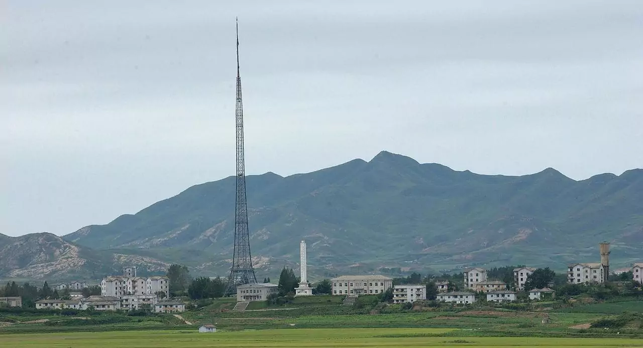
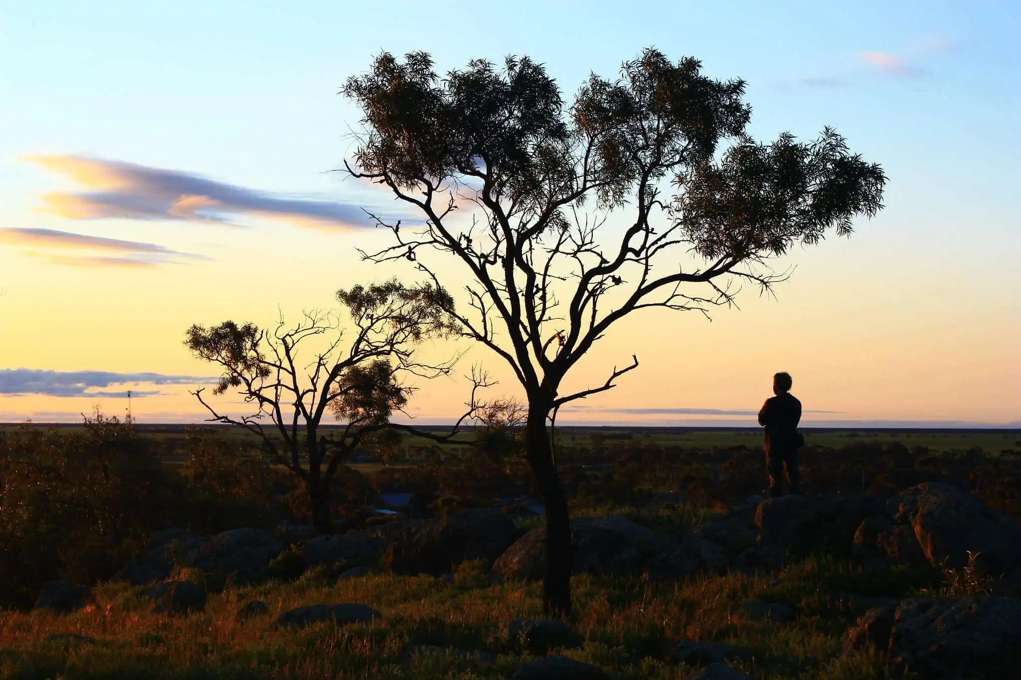
At a height of 532 meters, Mount Parker has the second highest summit in Hong-Kong Island, covered by a thick rain-forest, while an extensive network of roads and paths interconnects several points of interest scattered at its foot.
Traversing the mountain from north to south, Mount Parker road is the main way uphill, starting at Tai Tam Country Park Entrance on Quarry Bay, the green trail is a wide asphalt path ascending through a massive jungle.
As you go upwards, you’ll bump into several observatory decks at different heights, gracefully overlooking Hong-Kong’s densely packed neighborhoods from high above, followed by the Quarry Bay management centre, where a crossroad connects the main road with Hong Pak Country Trail, an unpaved earthy path that crosses the woodland, acting as a wild alternative walkway to the summit from downtown HK (as seen thoroughly in this guide). Eventually, both ways culminate in Mount Parker peak, offering a breathtaking vista of the city and its surrounding hilly forests, the ultimate reward for the effort-intensive hiking.
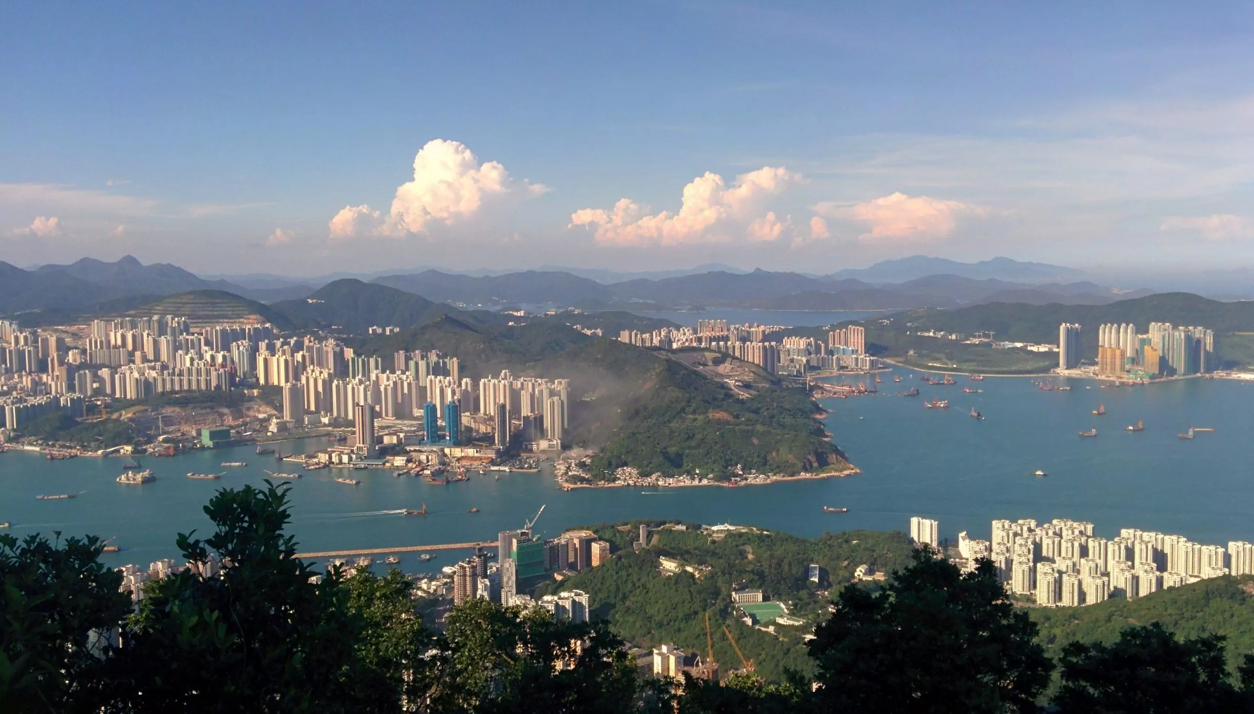
The panoramic view from the top of Mt. Parker
photography by: Nhk9
A prominent gateway to East Asia and attractive destination by its own right, Hong Kong witnessed a seamless growth in its air traffic during the 90’s, ultimately putting a strain on the already overcrowded airport of Kai Tak. If being congested wasn’t enough, the airport’s proximity to populated areas generated a perpetual noise pollution and limited the maximum height of new buildings, a harsh restriction in such a dense urban quarter as Kowloon.
Consequently, Hong Kong international airport was relocated in 1998 to Chek Lap Kok, leaving a giant void, waiting to be redeveloped. Ironically, it was the soaring number of cruise ship passengers and the burden it posed on existing facilities which prompted the construction of a brand-new terminal on the land where the former airport previously stood.
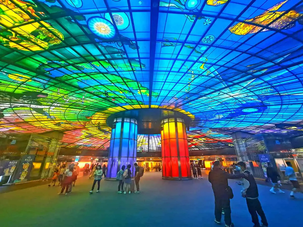
Designed by the world-renowned architect Foster and partners, the new terminal is a state of the art building, home to countless restaurants and shops.
While most tourists won’t bother visiting the terminal unless they booked a trip somewhere, I would argue that it worth visiting regardless of that, as its rooftop garden is not only a pleasant park to stroll in but also an elevated platform with scenic views of Victoria harbor and the CBD. Encompassing a staggering size of 23,000 square meters, the park incorporates small ponds with native species of vegetation, dotted with seats facing the mind-boggling vistas, attracting enthusiastic photographers who wish capture Hong-Kong’s iconic skyline, particularly at night-time.
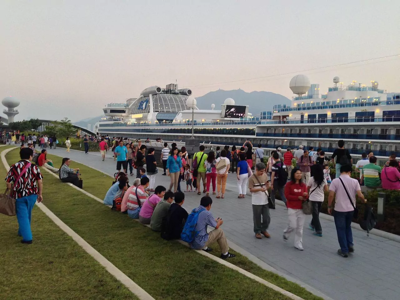
Kai Tak Terminal rooftop park
photography by: Ktct
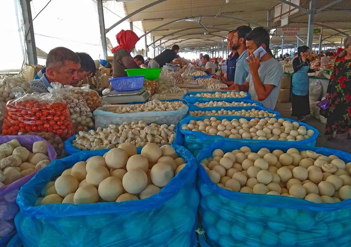
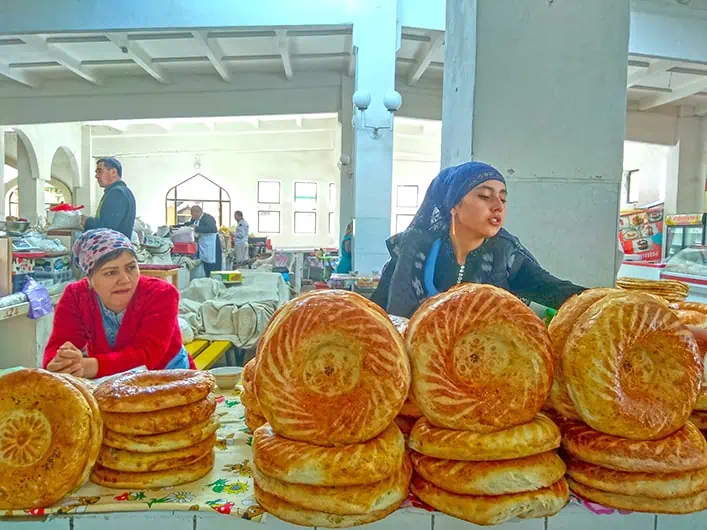
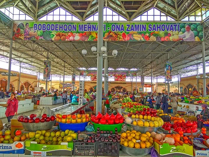
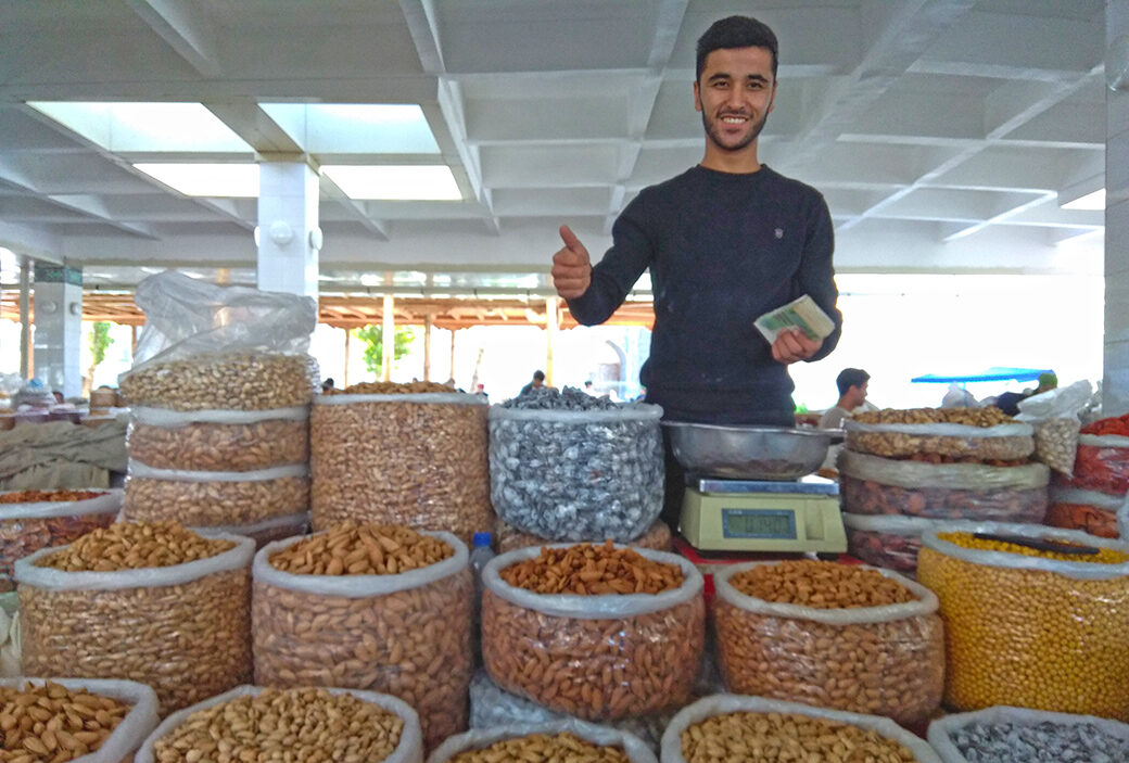
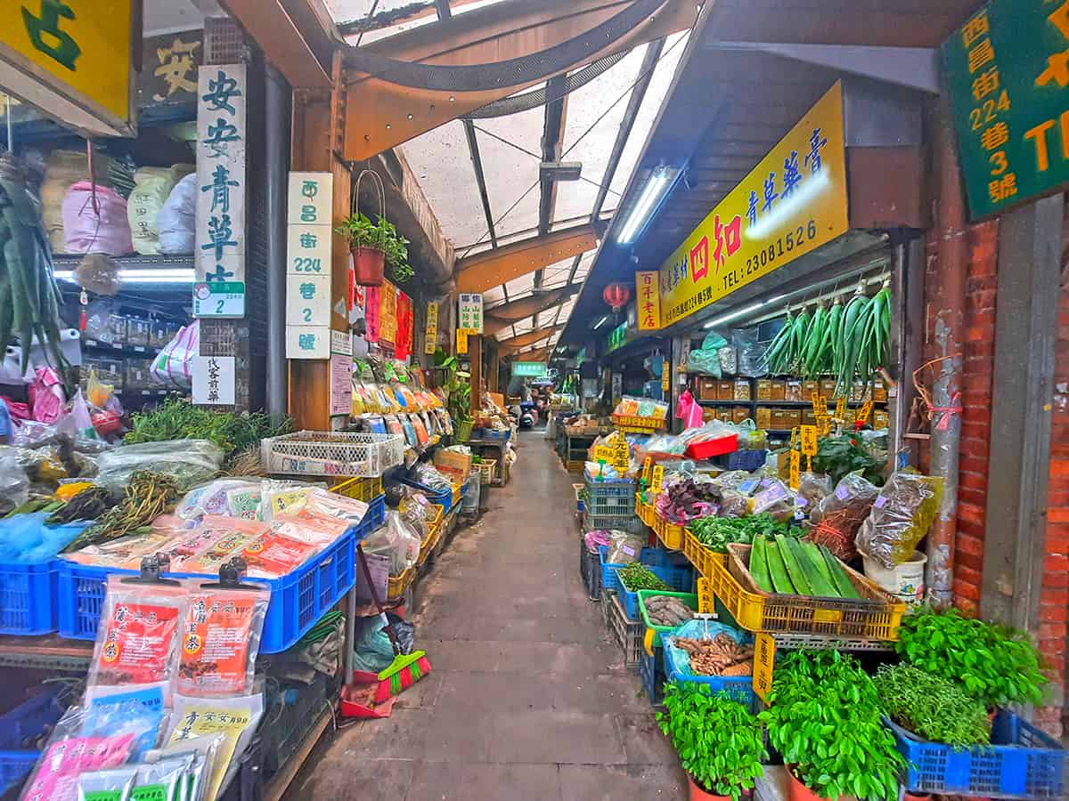
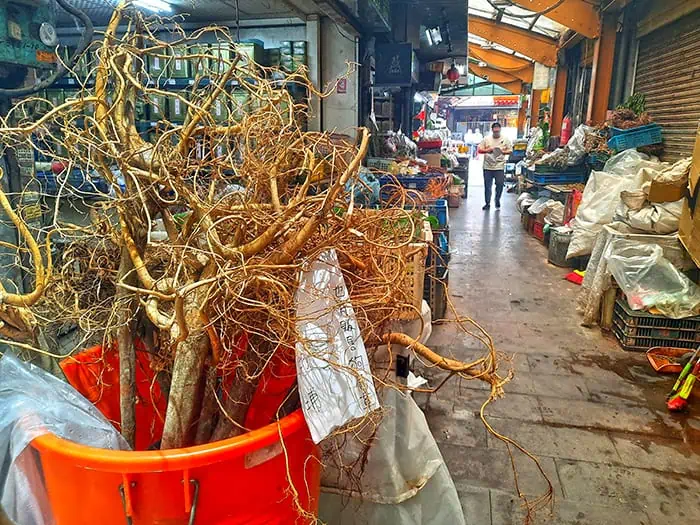
Visiting a market in a foreign country is always an interesting experience, and while we probably discover a lot of unfamiliar things when wandering around, our mind has a preconceived idea of how markets operate, namely an unfiltered version of supermarket, where people buy fresh various groceries, whether it’s vegetables and fruits or fish and poultry, it has it all.
Interestingly, Hong-Kong is home to a different type of bazaars, thematic markets specializing on a single sort of item, featuring a vibrant labyrinth of booths and shops that encompass everything imaginable about a specific product.
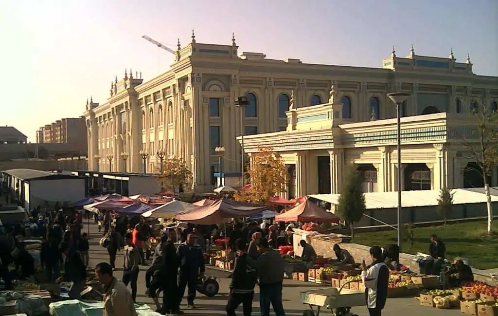
Nestled along the intersection of Waterloo Road and Reclamation Street, the wholesale fruit market of Yau Ma Tei was formerly known as the Government Vegetables Market, functioning as a typical agricultural market up until 1965, when all other stalls besides fruit sellers moved out.
Nowadays, Yau Ma Tei is where roughly 80 percent of the fruits sold in the city are imported through, amazingly reflected in its endless array of fruits, ranging from exotic regional types such as durians and mangosteens to high-quality familiar fruits like Tasmanian cherries or clusters of gigantic juicy grapes, each being separately wrapped in a plastic mesh. Despite its wholesale activity, it also operates as a retail market during daytime, brimming with shoppers, hawkers and recently even local Instagramers seeking a unique backdrop for their pics.
Additionally, the market is famous for its architectural and historical value, as some buildings date back to the 1920’s, having their gables covered by carved signs displaying the names of different merchants.
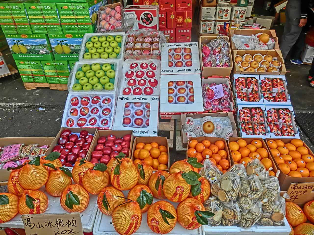
A typical fruits booth in the market
photography by: Srameitcoinm
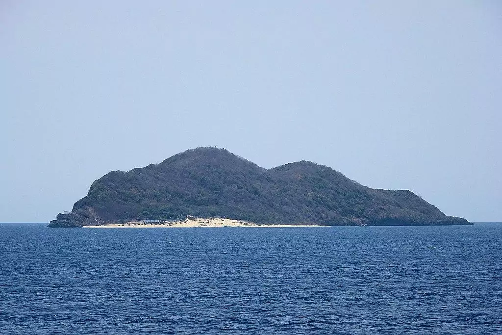
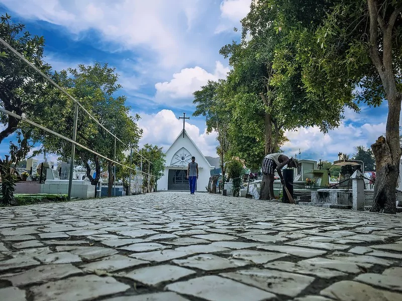
The southernmost island of Hong Kong, Po Toi is rarely visited by mainstream tourists as it’s pretty much anonymous and difficult to get into, but if you thought that the low number of visitors correlates to a lack of interesting things to see, then think again, since the island is home to some of the city’s most breathtaking views.
Linked to Blake Pier at Stanley by a limited ferry service, this remote speck of land can serve as the perfect getaway from the hectic streets and claustrophobic vibes of downtown Hong Kong. While the island of Po Toi has many worthy sites to see, I would argue that its southern edge, the cape of Ngong Chong, is the most scenic of all.
Traversed by the Po Toi country trail, Ngong Chong is easily walkable by hikers who wish to explore its remarkable rock formations, most famous of which is the Buddha’s hand rock, a palm shaped boulder that was slowly eroded for thousands of years by rain-water and wind, while another adorable craggy figure is the turtle rock, a giant tortoise-like boulder, best seen after ascending the nearby staircase.
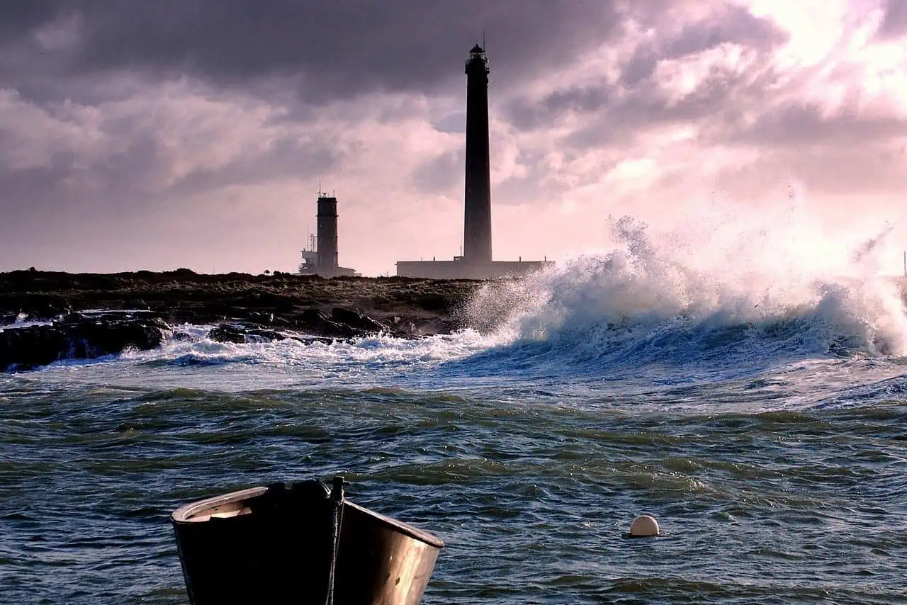
Perching on the tip of the cape, Hong Kong’s southernmost point, the Po-Toi lighthouse was built in 1970 and still operational to this day. Overlooking the South China Sea, the lighthouse itself might be architecturally dull, yet it’s probably the island’s single most iconic place.
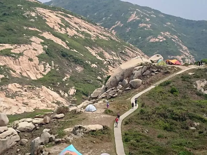
The turtle rock
photography by: tak.wing
Excluding its skyline, I doubt whether there is something more synonymous with Hong-Kong than dim-sum, evident by the myriad of eateries whose menu revolves completely around this Cantonese staple food.
Originally developed as a savory snack for the numerous merchants travelling across the Silk Road, the dim sum rapidly became popular throughout China, albeit particularly in its southern regions, including the area that will eventually evolved into the modern-day metropolis of Hong-Kong.
Named after the old tradition of serving a pair of dim-sum alongside a cup of tea, Yum-Cha is a Hong Kong based restaurant chain with four branches throughout the city. Interestingly, this Hongkongese culinary institution has an unconventional approach when it comes to the way food is presented, most notably a plethora of animal-shaped dim sums, starring in thousands of Instagram photos.
Whereas all dim-sum items are flamboyantly designed, it’s the buns which draw most attention, fluffy, colorful and scrumptious, each type features a cute facial expression, sometimes labeled by clientele as too beautiful to eat. Perhaps the most famous ones are the pinkish pig shaped bun filled with BBQ pork and the doggy sausage rolls, a hot dog wrapped in a dog-shaped bun. Furthermore, don’t miss the quaint custard buns, hilariously spewing hot custard sauce out of their “mouth” and the pineapple bird shaped buns in a cage, serving as the restaurant’s interpretation of Taiwanese pineapple cake.
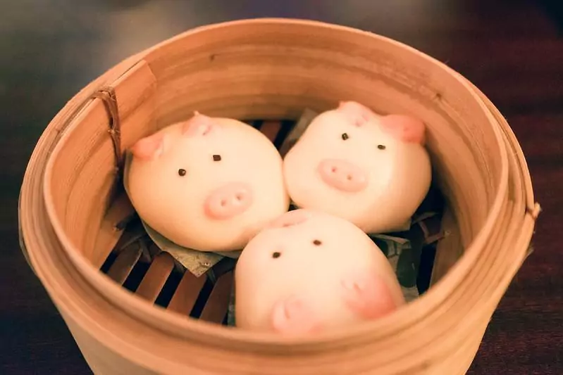
The pig shaped BBQ pork buns
photography by: Wei-Te Wong
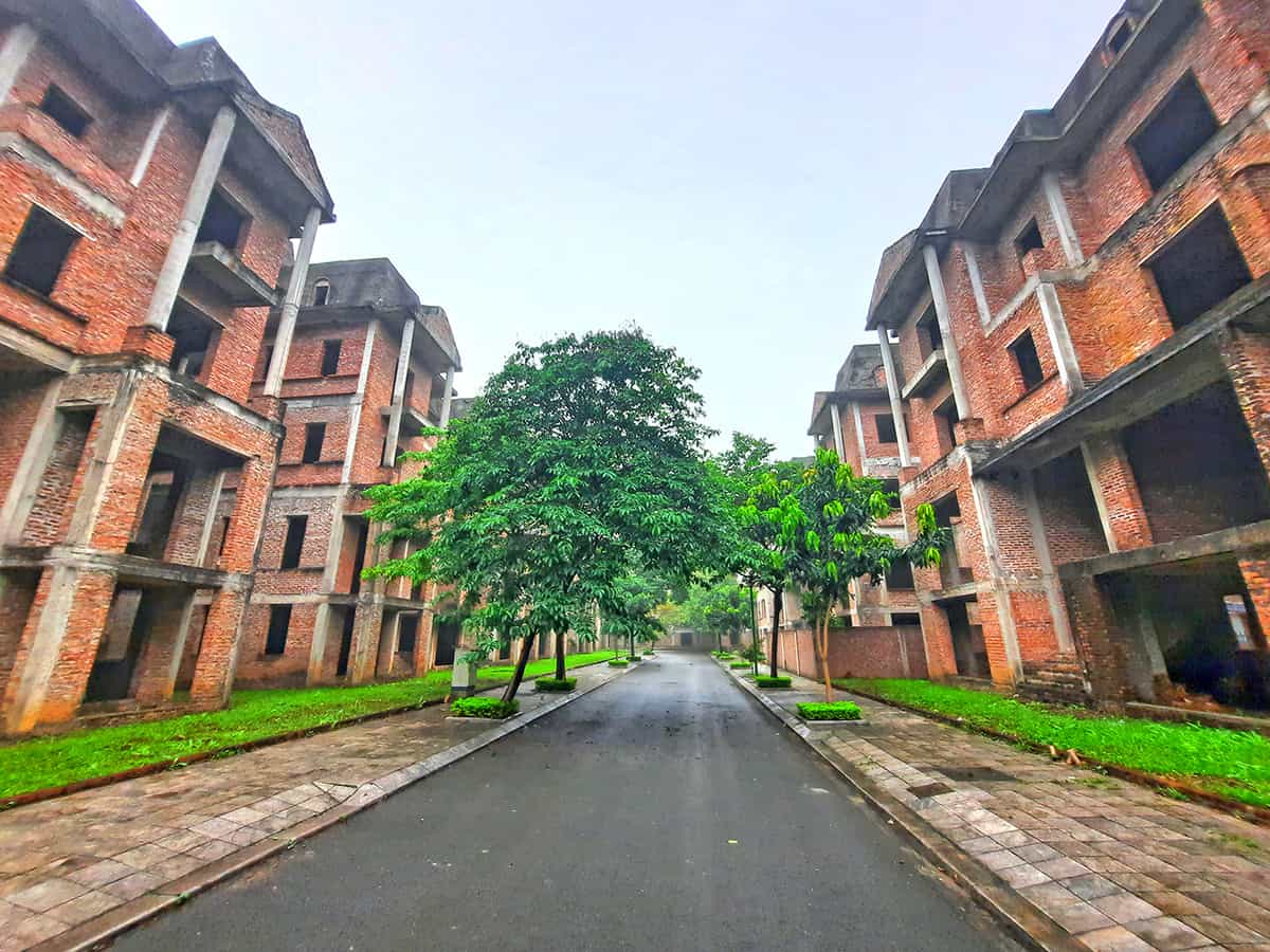
Densely populated by over 7 million inhabitants, Hong Kong is known for its ultra-modern skyscrapers, jam packed streets and tiny cramped apartments, but little do most tourists know about the remaining villages scattered around the territory.
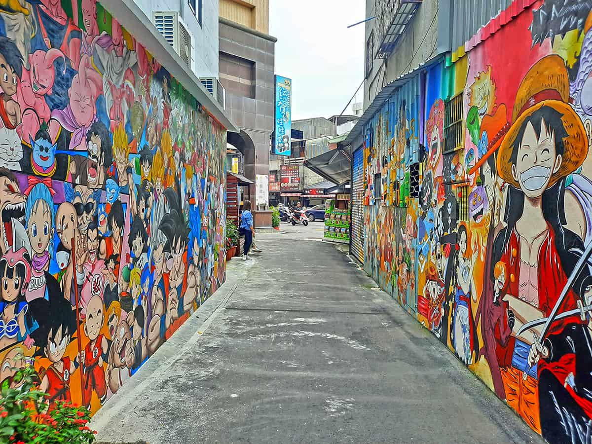
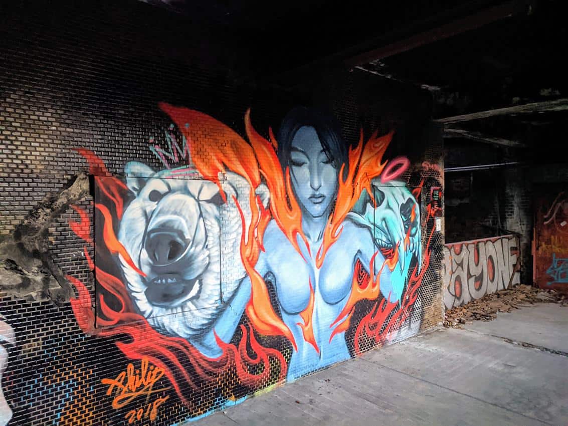
Tucked away near the border with mainland China, the village of Ping Yeung is a tiny rural community on the backdrop of Shenzhen frenzy skyline. Remarkably, the village is home to a medley of murals, more typical of urban neighborhoods than a remote and pastoral place such as Ping Yeung.
You must curiously ask yourself by now why this rural speck became an epicenter of local street-art, well, the answer might be surprising. As a measure of mitigating the city’s overcrowded conditions, Hong Kong government prompted several plans to develop some of its sparsely populated parts into clusters of modern housing, one of which is the area where the village of Ping Yeung is nestled.
In an attempt to raise awareness and ultimately prevent its destruction, local villagers and artists utilized almost every exterior part throughout the village as a platform for street art, whether it’s simply a mural on the houses’ outer side, a tree with hanging decorations or even a playfully painted sidewalk.
This guerrilla art project aimed not only as a silent and peaceful protest against what is perceived as a threat to a traditional form of lifestyle, but also as an effort to transform the village into a tourist hot spot, consequently making it too valuable to be replaced with something else.

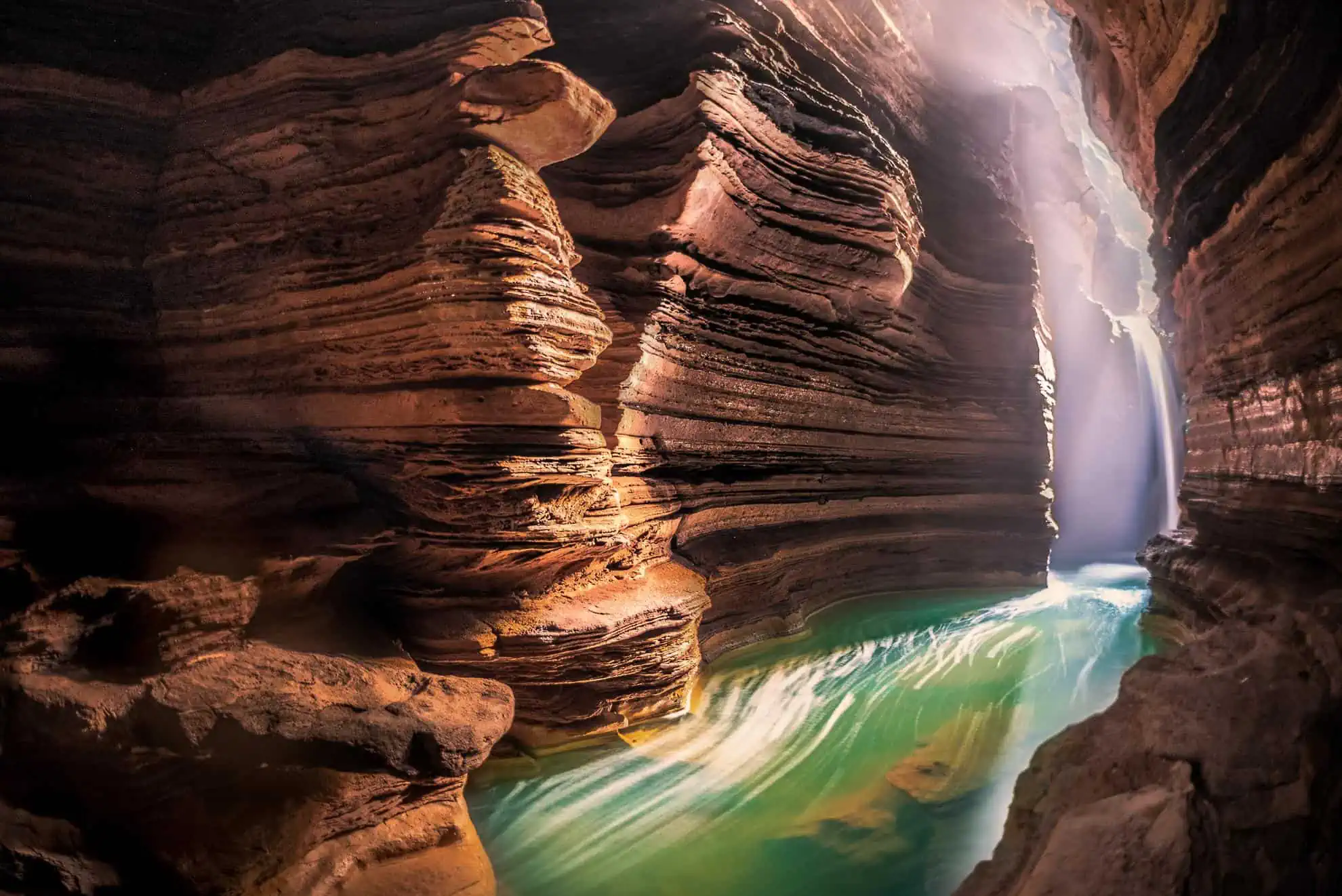
As asymmetrical and convoluted as it can possibly get, Hong Kong’s 723 km long coastline is the longest of any major city worldwide, consisting of numerous picturesque coves and capes, thereby you’ll virtually never run out of new places to discover.
Located at the far reaches of the new territories, the peninsular cape of Wong Chuk Kok Tsui, literally translated as the yellow bamboo point’s cape, is truly an off the beaten path spot, difficult to access yet rewarding for whoever manages to get there.
Part of both Hong Kong National Geopark and Plover Cove Country Park, Wong Chuk Kok Tsui, also known as Bluff Head, is a magnet for geology enthusiasts, albeit even a person without any specific interest on that field will find it remarkable. The cape’s most famous site is undoubtedly the devil’s fist, a clenched hand shaped rock made of sandstone, beautifully formed over millions of years by rain and wind whereas the wrist got its shape from the splashing waves.
Interestingly, the craggy fist is facing one of Hong Kong’s most intriguing and rare natural phenomena, vertical cross bedding caused by the folding movements of the earth’s crust, resulting in a breathtaking sight of red and grey layers sandwiched together, proven to be the oldest rocks anywhere in Hong Kong with a staggering estimated age of 400 million years.
If you are among the unrestrained adventurists, then consider concluding your journey by climbing to the hilltop pile of stones known as the Wong Chuk Kok beacon, dating back to the Qing dynasty era. This historic monument is a well-hidden nook, blessed with spectacular panoramic views, however, the harsh terrain makes it risky if you opt going there alone and guideless, moreover, the cape’s coastal area with its magnificent aforementioned sights is extremely inaccessible via land, therefore it’s recommended to book a boat trip at a local travel agency if you wish to travel safely.
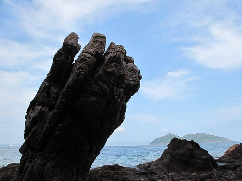
The Devil’s Fist in Wong Chuk Kok Tsui
photography by: Martin Ng
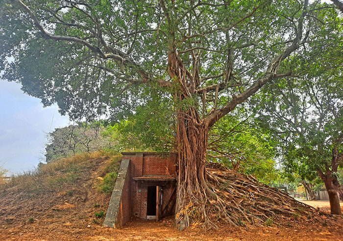
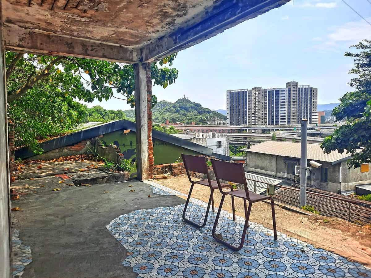
It’s so often the case when we associate WW2 dark tourism with concentration camps in Poland or military cemeteries dotted with white gravestones, nevertheless, despite being intuitively unlinked to the devastating war, Hong Kong witnessed fierce fighting between Japanese and Allies forces, leaving several well-hidden scars throughout the city, one of which is Mount Davis Fort at the western tip of Hong Kong Island.
Utilized by the British army as a fortified position in defense of the city from naval vessels, the 269 meters tall Mount Davis was a strategically important asset during the war, as artillery batteries were placed at its hilltop in an attempt to hinder the Japanese Invasion.
However, vastly outnumbered by Japanese troops, the British army eventually surrendered, leaving the city under the control of Emperor Hirohito’s forces, yet miraculously, some of the military facilities on the mountain were left almost intact, excluding ammunition storage buildings which were destroyed by the British themselves before fully surrendering.
Reaching the WW2 remnants entails ascending a hillside asphalt path, unsurprisingly named Mount Davis Path.
Traversing a thick rainforest, the tarmac pathway intersects with couple of unpaved trails, demarcated only by the frequent foot traffic, ultimately linking the main road with myriad abandoned ruins of military structures, each one is interesting and worth visiting by its own right.
I do recommend exploring as many sites around as possible, albeit, two of which are definitely not to be missed, the first and second artillery emplacements at the peak of the mountain are where British troops desperately defended Hong Kong by targeting Japanese warships with the Mk IX – X naval guns, while decades later the concrete structures are largely undamaged, providing a historic glimpse to the city’s forgotten facet.
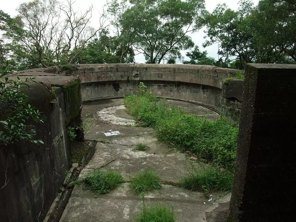
The abandoned artillery emplacement at Mount Parker
photography by: Minghong