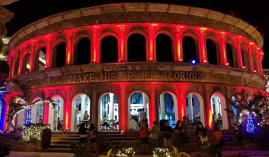
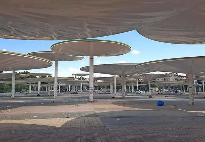
Located in the far south of Germany, Munich is probably best-known for its Oktoberfest beer festival, but also for the enchanting architecture around Marienplatz and Stachus as well as the graceful park of Englischer Garten, all of which are flocked by masses of visitors from all across the world. Nevertheless, not every trip to Munich necessarily has to focus on the overly touristy old town or result in an alcohol overdose at the "Wiesn“ festival lawn, as besides its much-revered sites, the Bavarian capital has a medley of underrated secluded nooks, serving as a refreshing break from the swarms of partygoers and tourists, of which five are particularly charming.

By: Stefan Köhler
Date: 19:18 03.03.21
Last Update: 13:30 30.07.21
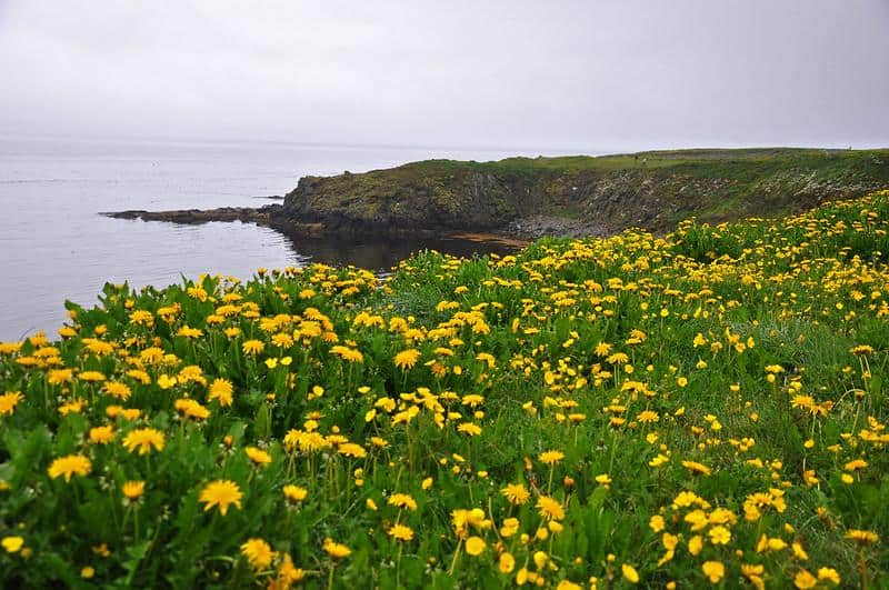
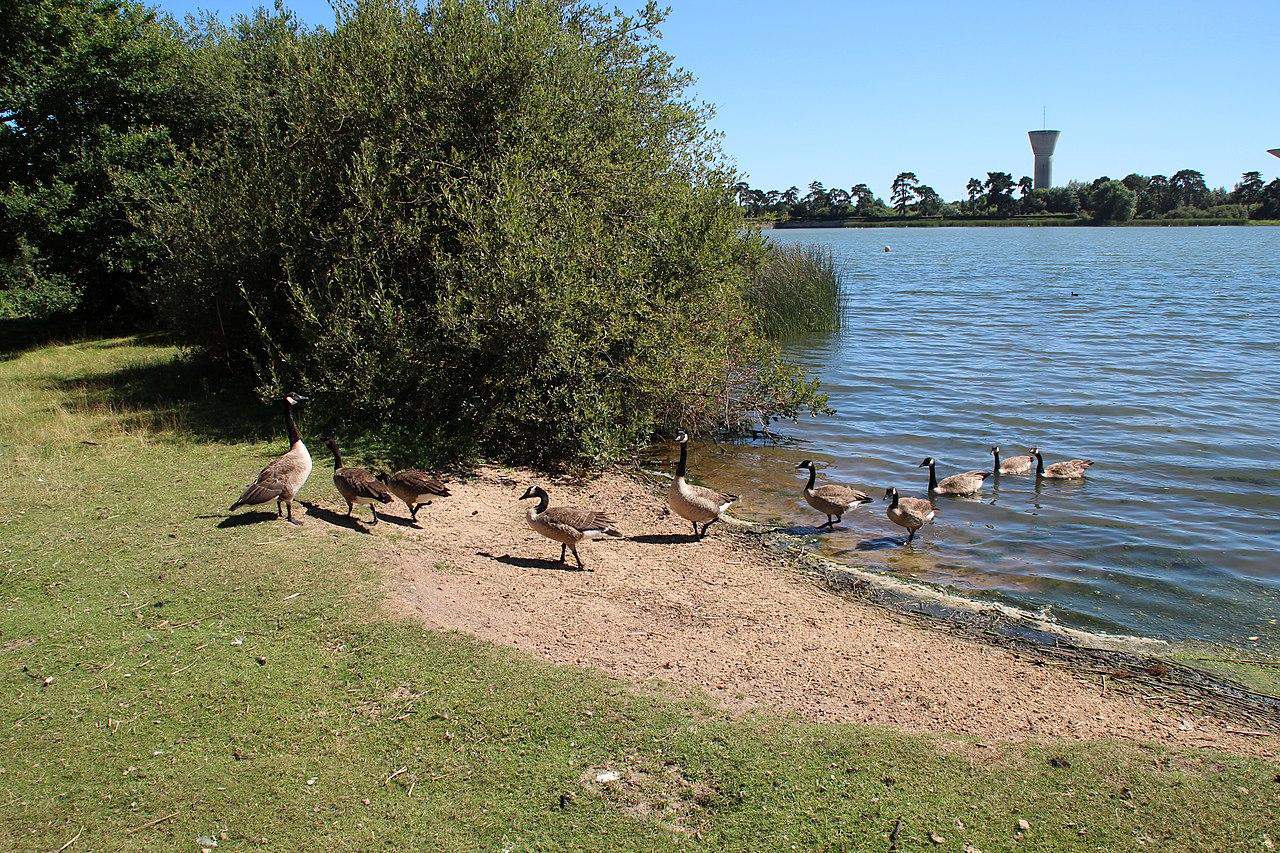
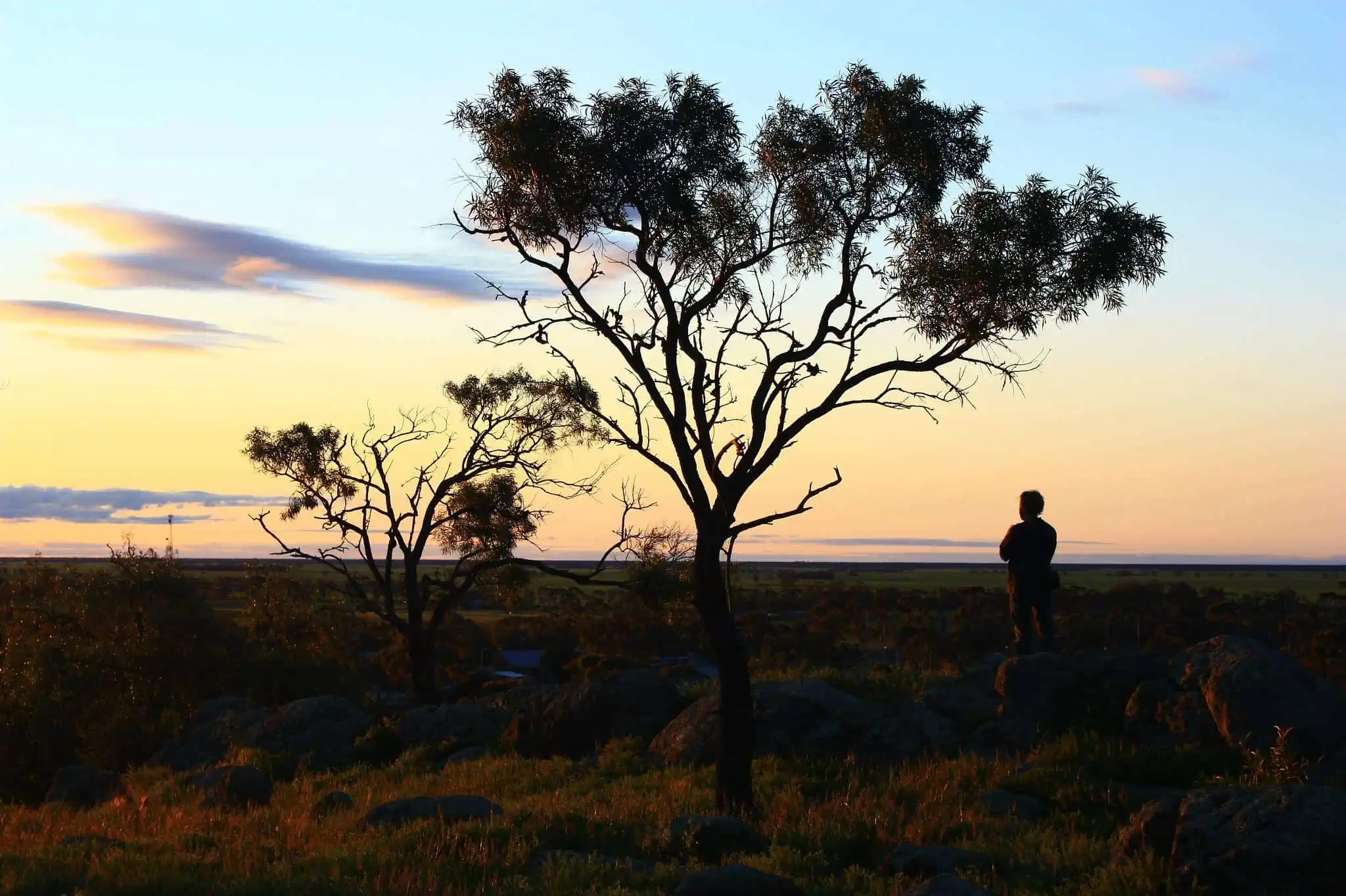
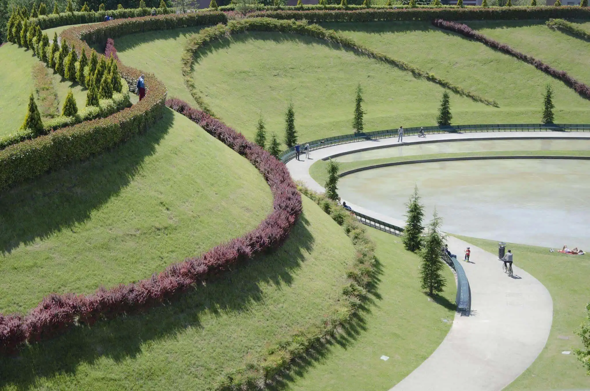
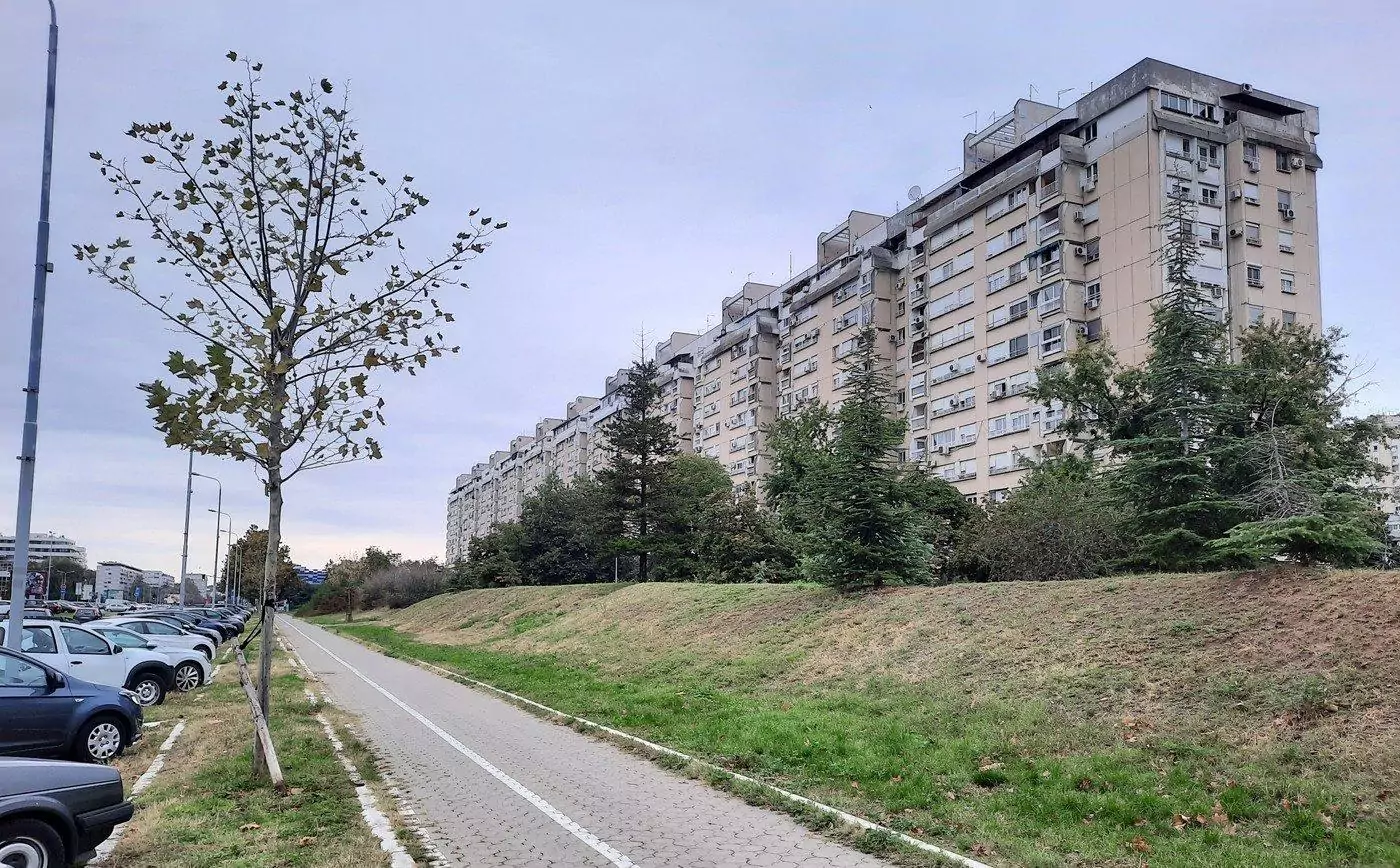
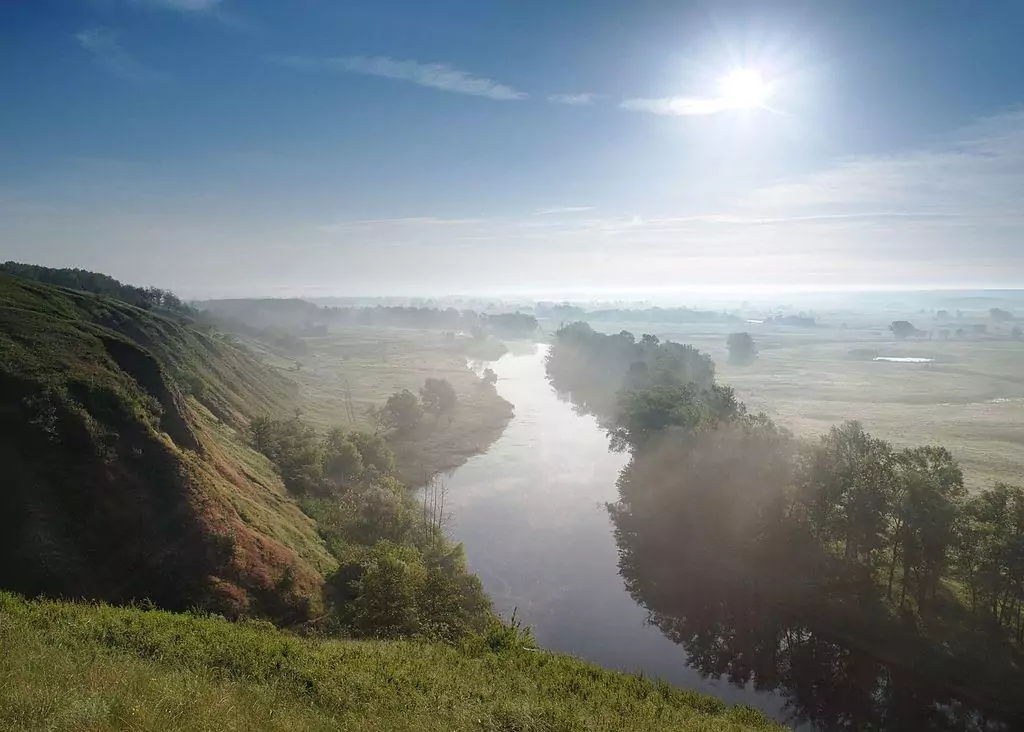
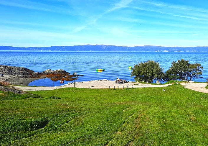
Deemed as a recreational getaway, the Riemer See is a large swimming lake surrounded by expanses of a well-kept park, far from the hustle and bustle of the big city, offering sheer tranquility, crystal clear water to bath in and a flat pebble beach.
The most popular part of the lake among locals is the eastern shore, where the wide beach turns into a grassy patch of land just few meters ahead.
Aside from its lakefront that is somewhat reminiscent of an exotic holiday destination, Riemer See has a large meadow, where people often have their afternoon picnic or engage in various sport activities such as volleyball and soccer. Additionally, the charming beach café serves an assortment of snacks, beverages, sausages and absolutely scrumptious ice-cream.
If you happen to visit the park during summertime, take note that its sheer popularity among the residents of nearby Messestadt combined with the lack of shaded areas around the lake make it wise to bring your own umbrella with you.
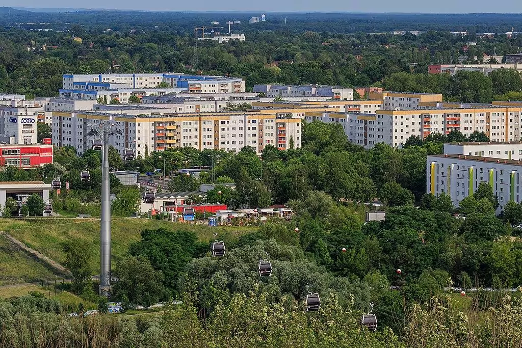
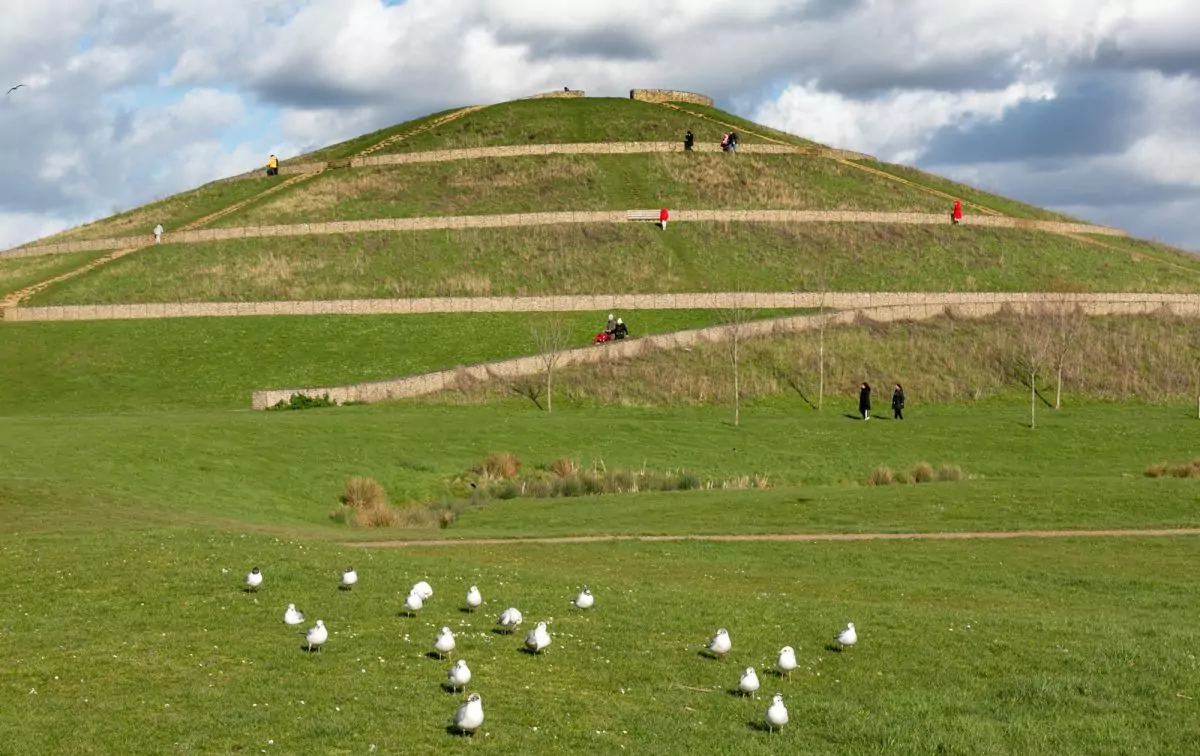
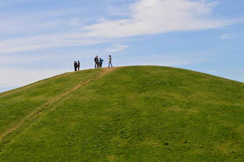
Riemer See is Munich’s third largest park, eclipsed only by Englischer Garten and Olympiapark. The green lung is dominated by two hills, from where one can enjoy a breathtaking view of the city, and if you get lucky enough even a distant glimpse of the Alps.
Interestingly, the man-made lake and the surrounding park were created as part of the Bundesgartenschau 2005, Germany’s most prominent horticulture event.
It might come as a surprise, but this green oasis was the site of the former Riem airport, which operated until 1992, when the new Munich airport was opened.
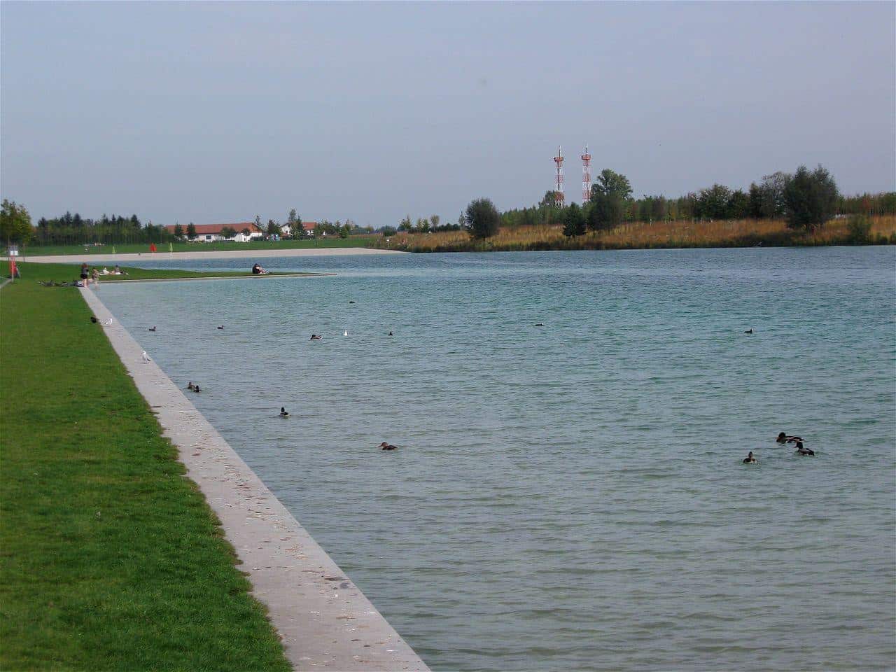
Riemer See’s lakefront
photography by: Rufus46
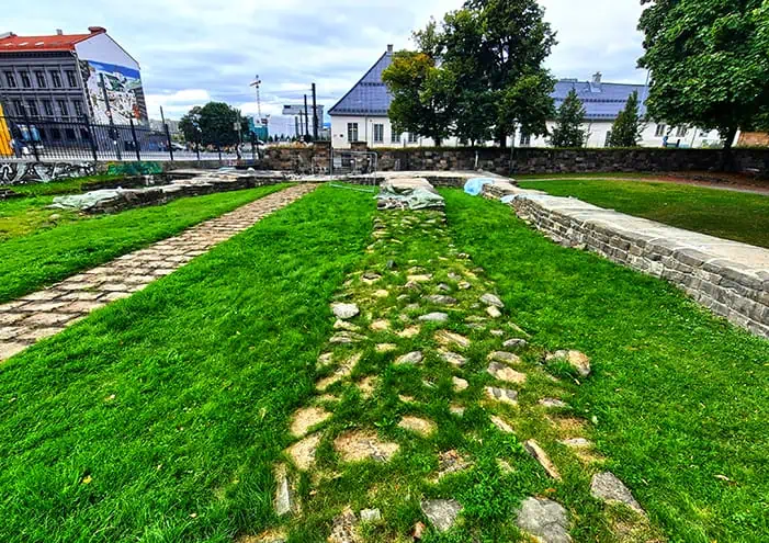
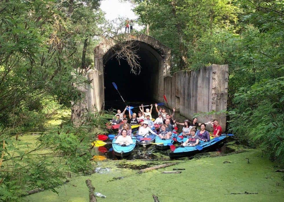
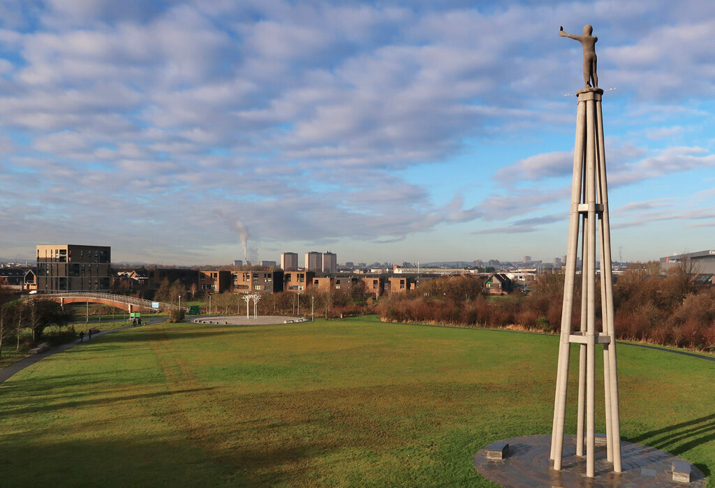
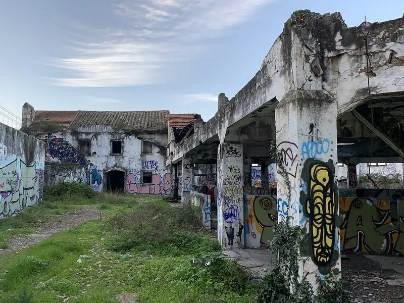
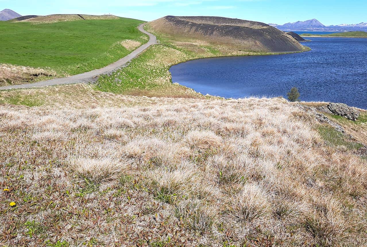
Yet another former airport that turned into a spacious park, Landebahn Neubiberg has been used as a military airport, serving as a base for the German air force from 1933 to 1945, ultimately ceasing all military activities by the German army following the end of World War II.
Afterwards, the facility was used for a couple of decades by the US Air Force and also as a venue for the Flugplatzrennen Neubiberg car race.
In 1997, the municipality of Neubiberg purchased the abandoned airport and four years later transformed it into a giant park known as Landschaftspark Hachinger Tal, incorporating the remnants of the former airport as part of the park itself.
The disused runway forms the central axis of a landscape park, attracting dozens of inline skaters and kite surfers, who can extravagantly scamper far away from any road traffic, as the only thing that could get in their way is a fellow sport enthusiast.
The surrounding park is divided into different zones, the southern and southeastern parts are largely reserved for nature, while the sport-oriented area is located west of the highway bridge, where you can also find several beach volleyball and soccer fields as well as a water playground at the Hachinger Bach River.
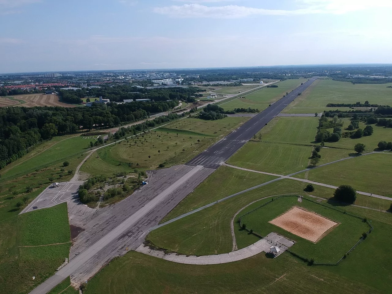
An aerial view of Landschaftspark Hachinger Tal
photography by: Maksym Kozlenko
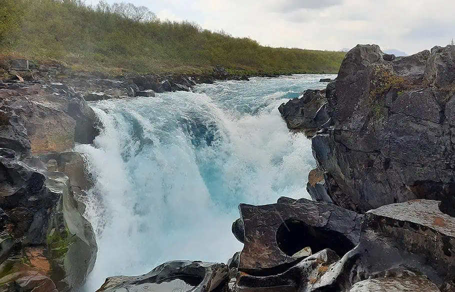
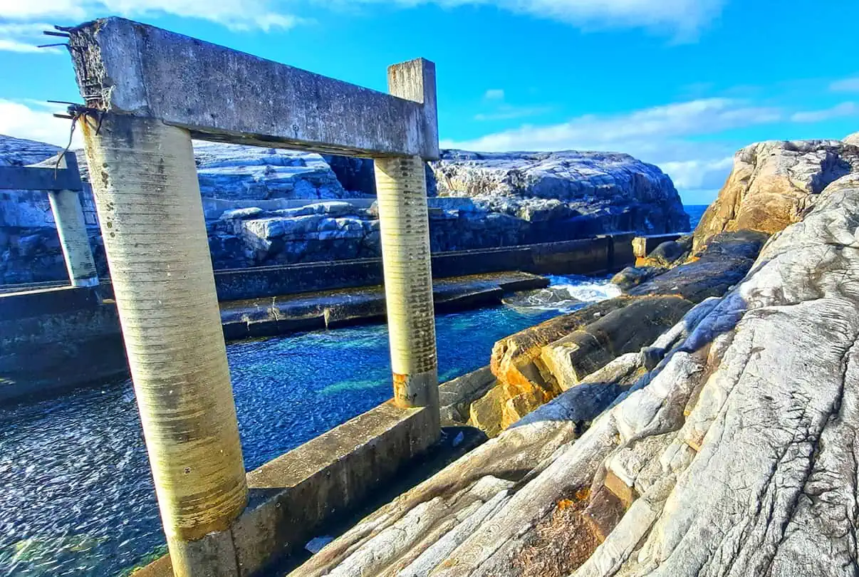
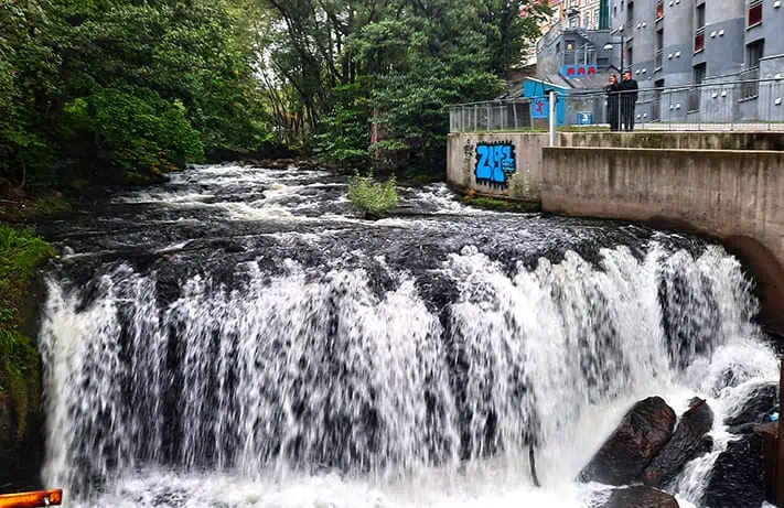
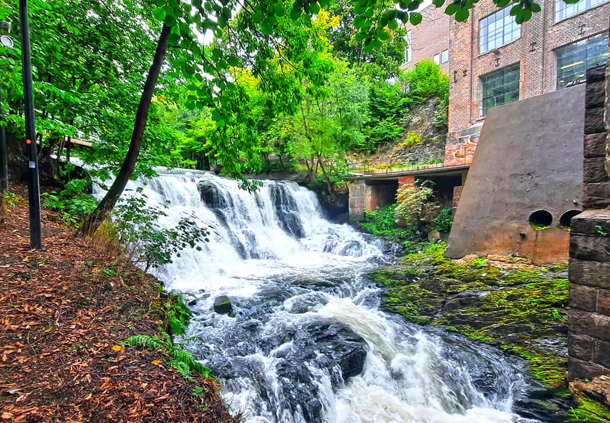
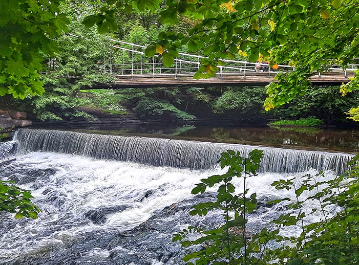
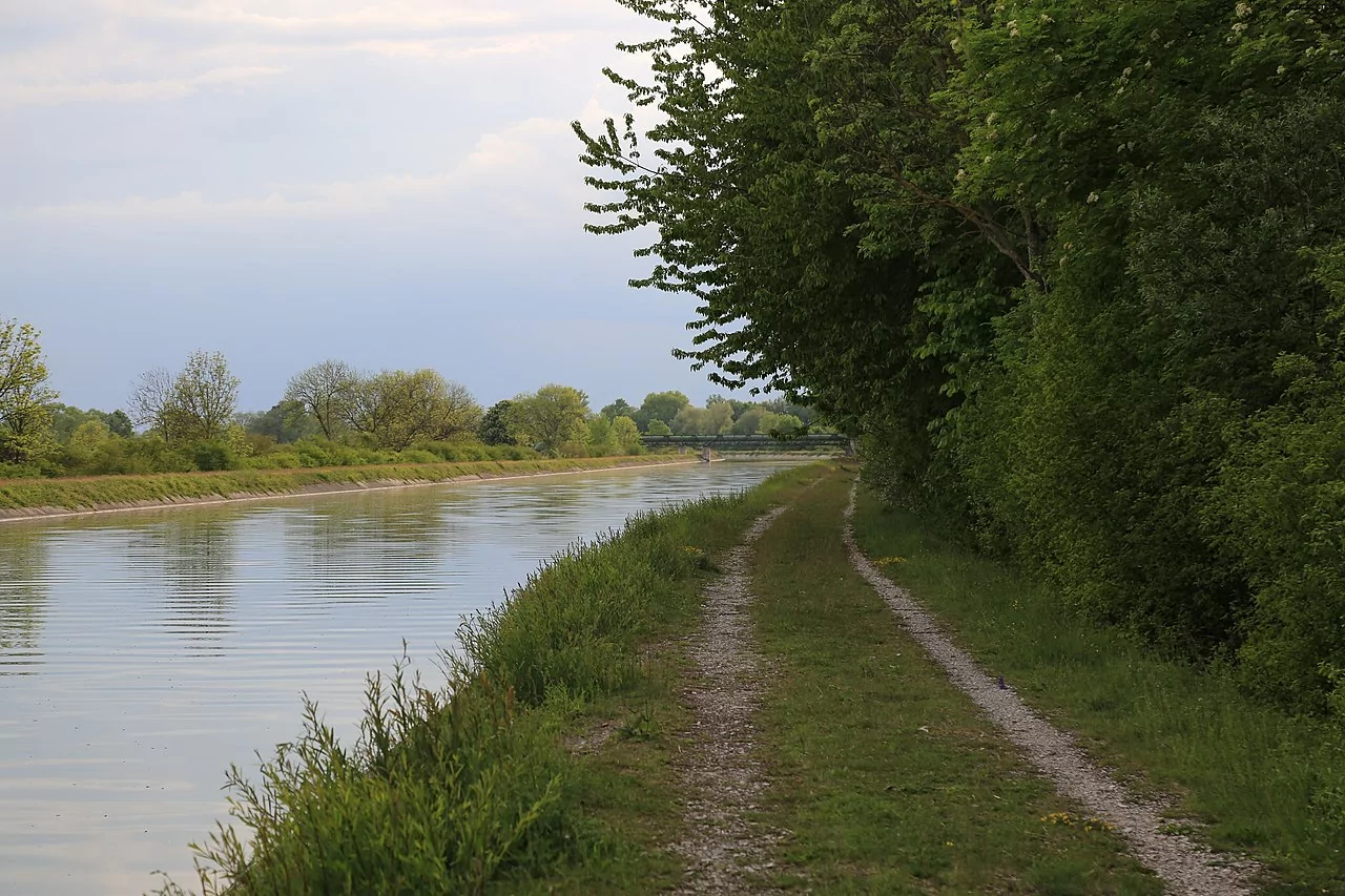
Like most major European cities, Munich is centered around a river that bisects it into two parts and defines much of its identity. The Isar River has many interesting sites to explore, yet one of the least known one is Stauwehr Oberföhring, a weir in the northern edge of the city, functioning also as the intake structure of the Mittlere-Isar-Canal. It connects the northern part of Englischer Garten with the district of Oberföhring that lies to the east of the river.
The dam is the southernmost structure of the the Mittlere-Isar-Canal, which begins there. Both weirs are interconnected by a pedestrian bridge that crosses the Isar River and the Mittlere-Isar-Canal, linking Oberföhring district with Isarinsel Oberföhring recreational area. One might assume that the dam is merely a pathway between two parts of Munich, yet the architecturally intriguing Stauwehr Oberföhring also provides some stunning river views, occasionally dubbed as Little Canada.
Before reaching the weir, the river flows ponderously northwards, while as it leaves the dam, the water roars down, bubbling and foaming along the riverbed, ultimately continues to stream calmly afterwards, until the next pile of rocks.
If you wish to fully explore the dam and its surrounding, just follow the Isar River northwards after crossing the weir from east to west, then make your way back through the St. Emmeram Brücke wooden bridge, leading to the island sandwiched between the river and the canal, linked to Oberföhring by three additional bridges across the Mittlere-Isar-Canal. Along the way, you’ll pass by some small bathing and barbecue areas, often flocked by dozens of locals.
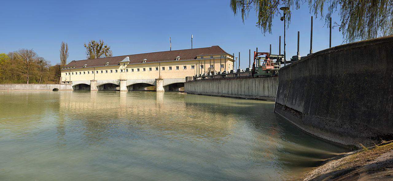
The dam structure across the Isar River
photography by: Richard Bartz
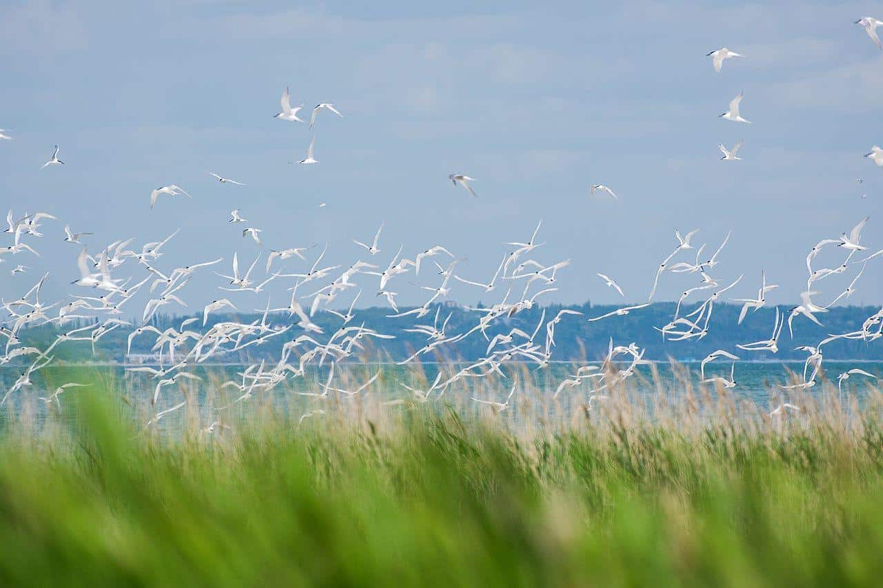
The Ismaninger Speichersee is a reservoir northeast of Munich, around the municipalities of Aschheim, Kirchheim, Pliening and Finsing. Created in 1929, the artificially made lake accumulates water from the Mittlere-Isar-Canal that flows through it.
The most prominent part of the reservoir are the sewage fishponds, which together cover an area of over two square kilometers.
Over time, the area has gradually turned into a favorable refuge for waterfowls, as it serves as a major molting place for the feathery critters. In addition, the banks are peppered with charming resting areas, walkways and the canal that flows all along its southern side, all of which are often accompanied by swarms of birds romping around.
The Ismaninger lake also includes a navigable dam known as “Mitteldamm“, dividing the reservoir into west and east basins, while being topped by a slender 1,000 meters long pedestrian pathway that provides a rare opportunity to walk through the lake as if you are in an atoll. However, it’s important to know that the walking path over the dam has a dead end, thereby it entails going back the same way and distance.
A pathway side by side the Mittlere-Isar-Canal that flows along the lake’s southern edge
photography by: Ionenlaser
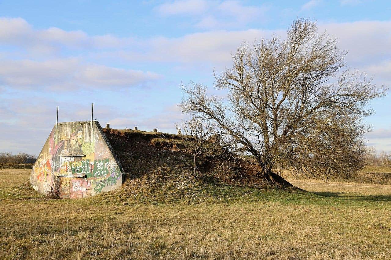
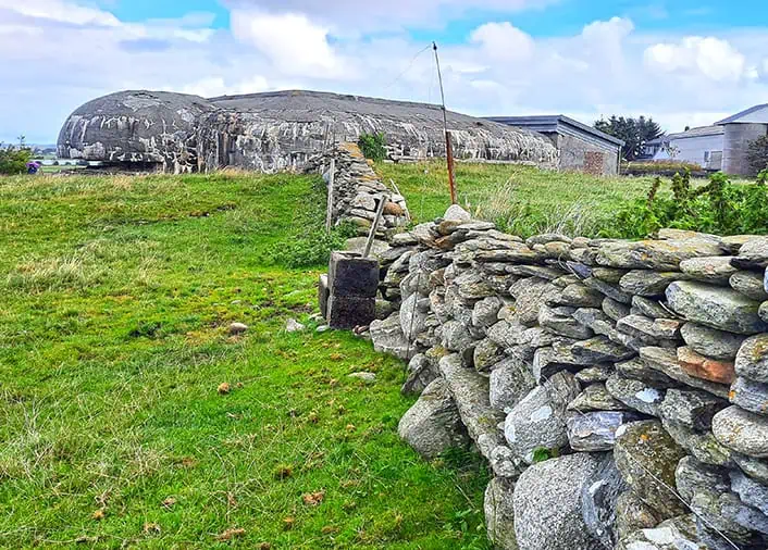
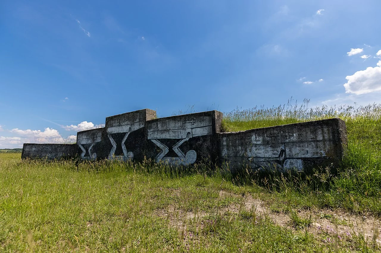
Considered as one of Bavaria’s most valuable natural treasures, the Southern Fröttmaning Heath was officially declared as a nature reserve in 2016. It is the largest remaining southern Bavarian low-terrace heath, nestled on limestone gravel.
This plain in northern Munich is the meeting point of three very different flora regions that have been harmoniously coexisting for thousands of years, including plant species of Mediterranean, Alpine, Eastern European and continental origin, constituting together the biocoenosis of Munich heaths, renowned for its exceptional bio-diversity.
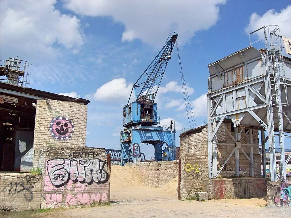
Curiously, Fröttmaninger Heide’s current boundaries were largely determined by past military use, in fact, it was utilized by the army as early as the 19th century, while even today, the northern part of A99 highway is still a Bundeswehr training area.
Since armored vehicles and tanks have repeatedly damaged extensive parts of the local ecosystem, the animal and plant species that dominate the landscape are extremely adoptable and resilient.
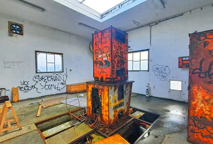
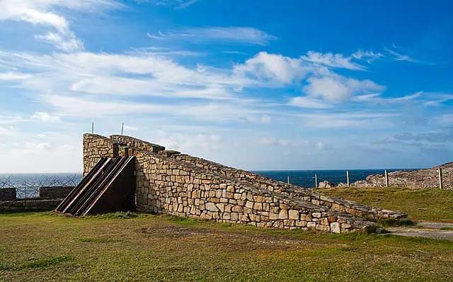
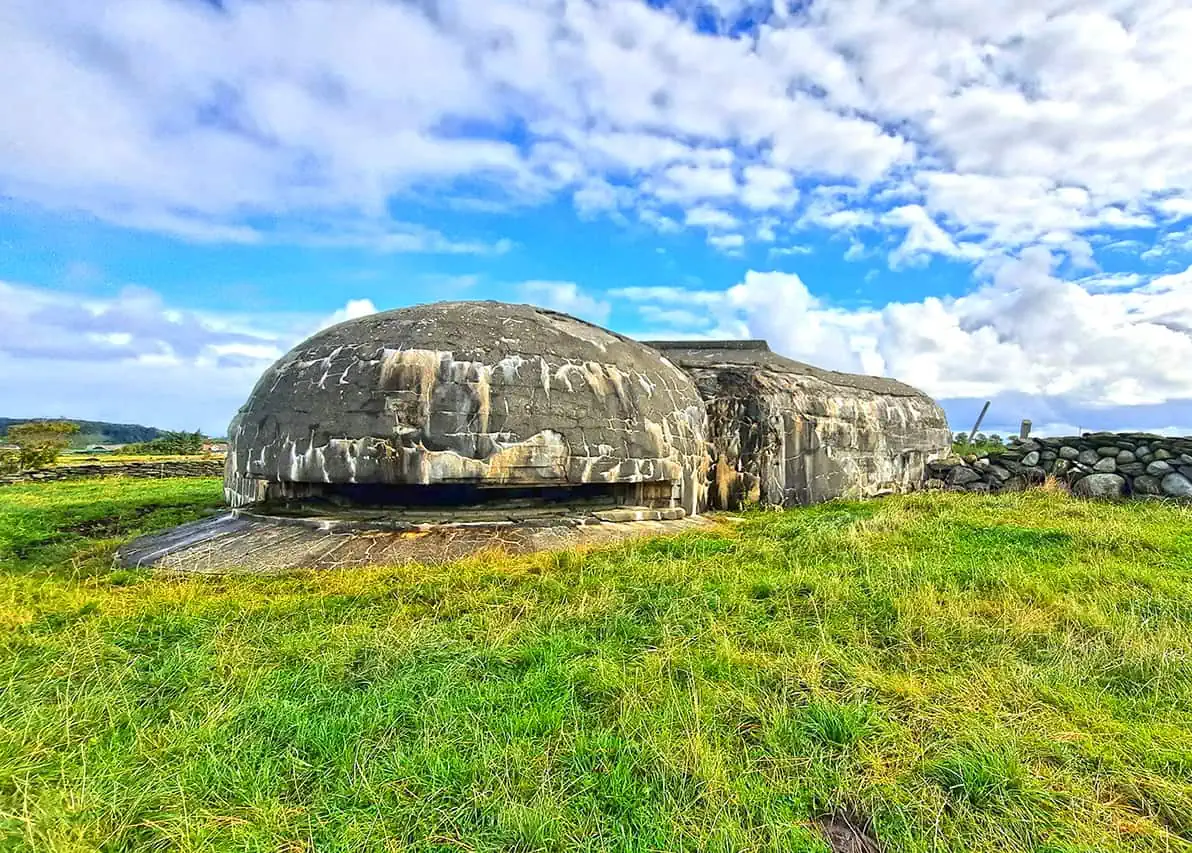
Nestled in the middle of the reserve, the mini bunker is a silent testimony for the once military activity. Hikers can have a glimpse of the bunker, whose entrance protrudes slightly above the ground, yet since some of the area around is still mined with various explosive devices lying underneath the grassland, there are several restricted zones where travelers are not allowed to enter.
The remains of a Tank training area in Fröttmaninger Heide
photography by: LGDE5