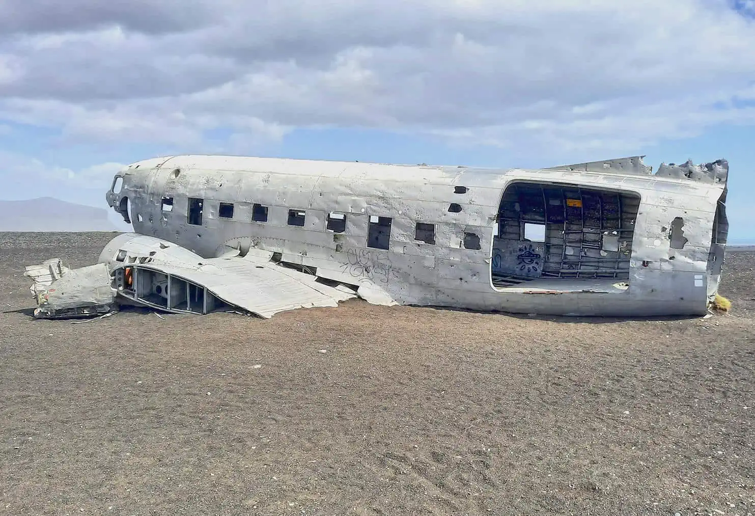
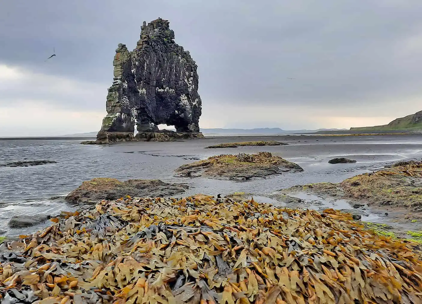
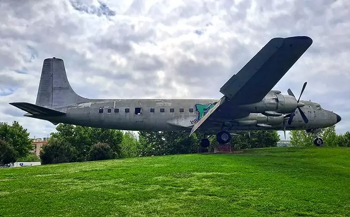
Even if you fail to admit it, being caught in an airplane crash is one of the most terrifying experiences one can possibly have. This ordeal is exactly what seven US military personnel underwent at 1973 on the southern part of Iceland, after their plane happened to be in the wrong time and place. Well-hidden in the middle of a desolate wasteland, what left of the aircraft now attracts dozens of intrepid visitors each day, making it a hotspot among dark tourism enthusiasts.

By: Omri Westmark
Date: 16:43 14.11.21
Last Update: 21:58 03.11.22
In the afternoon of the 21st November, 1973, a US Douglas Dakota C-117 airplane was making its way back to Keflavik Airport from Hofn Hornafjördur Airport after transporting a cargo to the radar station of Stokkses. This routine flight went all smooth until at one point, when the aircraft flew over Iceland’s south coast, it stumbled into a heavy storm. The rough weather conditions resulted in a thick layer of ice accumulating on the wings, followed by an engine failure that ultimately sealed the fate of the airplane, which crashed into the black sands of Sólheimasandur.
Luckily, the captain, James Wicke, along with the other 6 crew members were unscathed, whereas the aircraft was heavily damaged. It might come as a surprise, but the exact reason behind the crash is still a mystery, with speculations ranging anywhere between a human error, running out of fuel, mechanical failure to the aforementioned rough weather conditions. The remnants of the cargo airplane were never fully salvaged, and so, the lone fuselage became a tourist attraction in the aftermath of the accident.
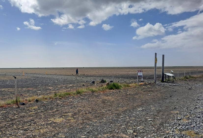
The site is accessible via the off-road parking along Iceland’s ring-road. Since the gravel parking lot is located about four kilometers from the wreckage itself, the round trip takes to the aircraft takes between 3-4 hours.
photography by: Omri Westmark
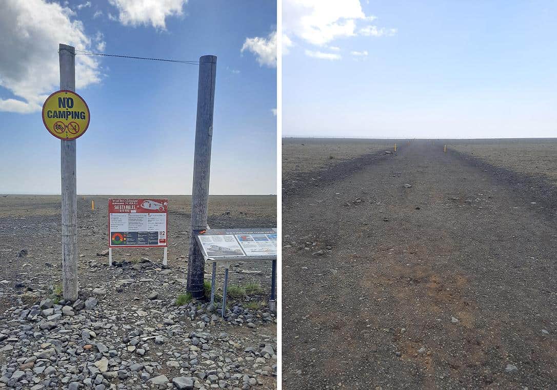
The fairly modest trailhead of the 4-kilometer path is marked by a pair of vertically placed wooden poles, accompanied by two info plaques elaborating on the accident as well as providing crucial details for hikers.
photography by: Omri Westmark
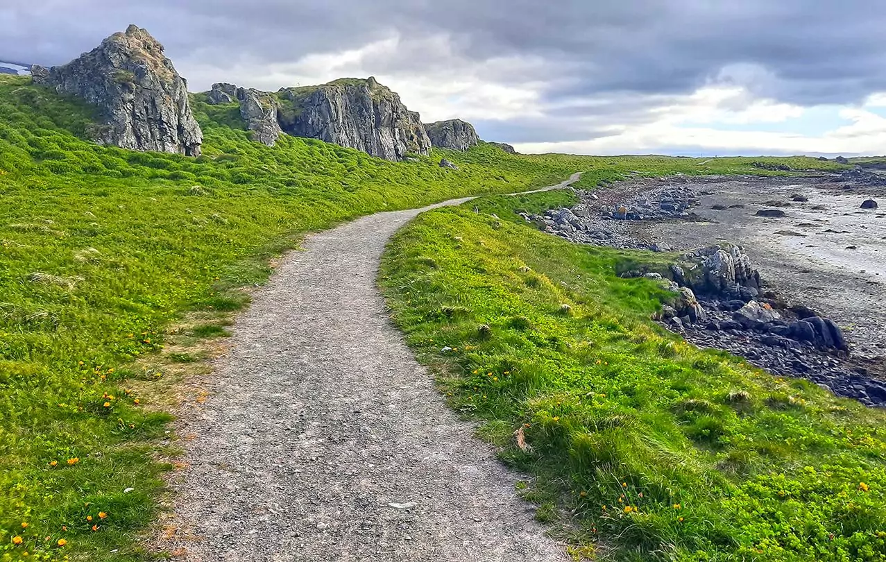
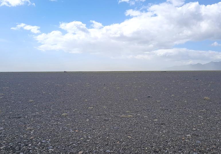
At first glance, the trail, all of which traverses a perfectly horizontal plain, might seem like a piece of cake, however, it’s utterly untrue as the harsh weather conditions, even during the summer, make it a challenging journey also for well-experienced hikers.
photography by: Omri Westmark
While in wintertime, the entire area is frequently blasted by blizzards, and therefore, totally not recommended to visit, spring and autumn are known for their extreme weather unpredictability, when a seemingly bright sky can quickly turn into a dark, stormy chaos. The summer is by far the preferable time to come, yet powerful and freezing winds make the supposedly easy trip a considerably more difficult task to overcome than one might first anticipate.
photography by: Omri Westmark
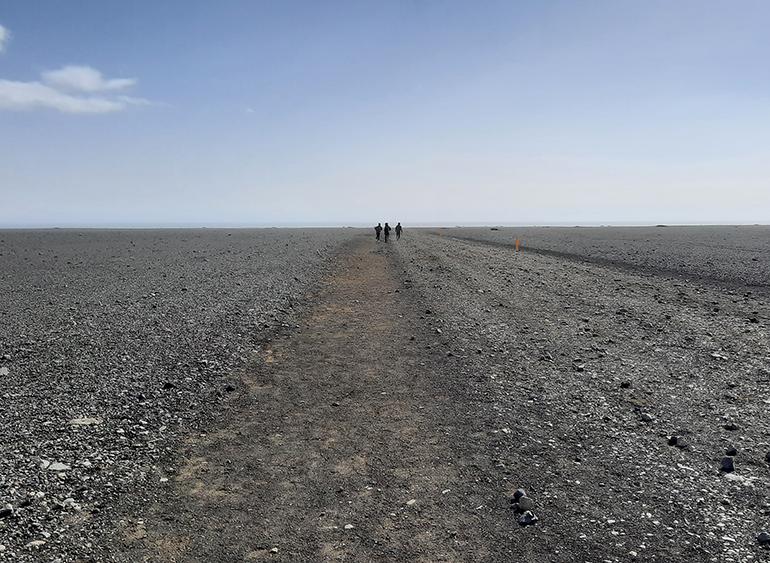
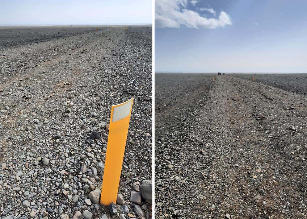
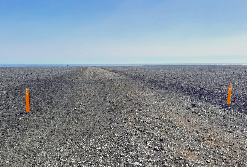
The wide pathway is delimited solely by two yellow markers every 100 meters, and while during a bright day, deviating from the route is hardly an option, the occasional foggy weather is a totally different story, where travelers can easily get lost in the nondescript landscape.
photography by: Omri Westmark
As you progress further along the trail, it doesn’t really matter in which direction you look, the only thing in sight will be a barren volcanic wasteland.
photography by: Omri Westmark
In the past, the gravel dirt road was open for cars, which in turn could make it all the way to the aircraft. Nevertheless, following a series of cases where people got stranded in the volcanic sand, as well as the damage inflicted on the local flora by tires, all vehicles were banned from entering the road, except only for emergency cases.
photography by: Omri Westmark
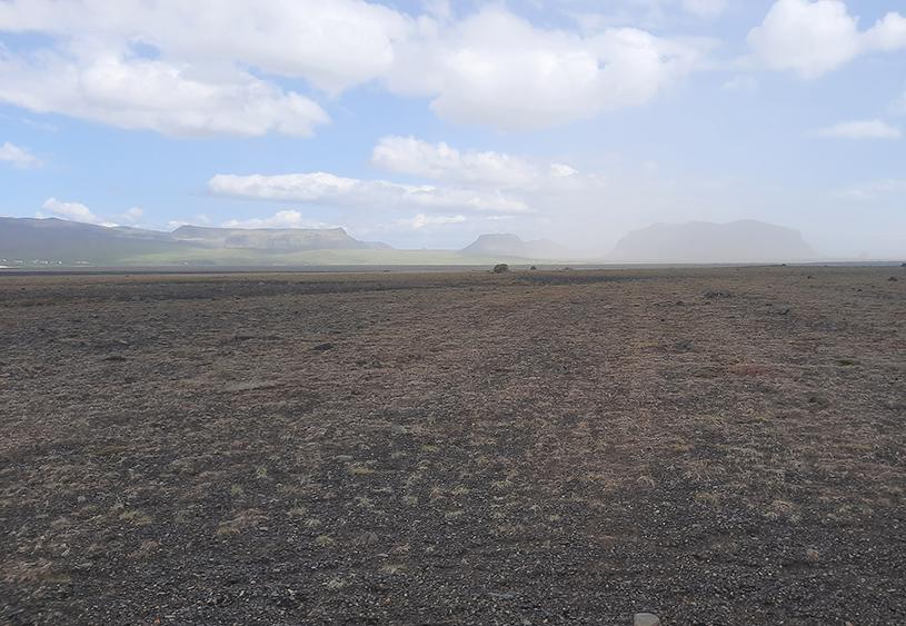
A panoramic view of the mesmerizing flat terrain. The vast plain was formed as a result of a glacial flood, triggered by a volcanic eruption. Sheer amounts of water from the nearby Mýrdalsjökull glacier inundated the entire area, sweeping everything in their path before reaching the Atlantic Ocean.
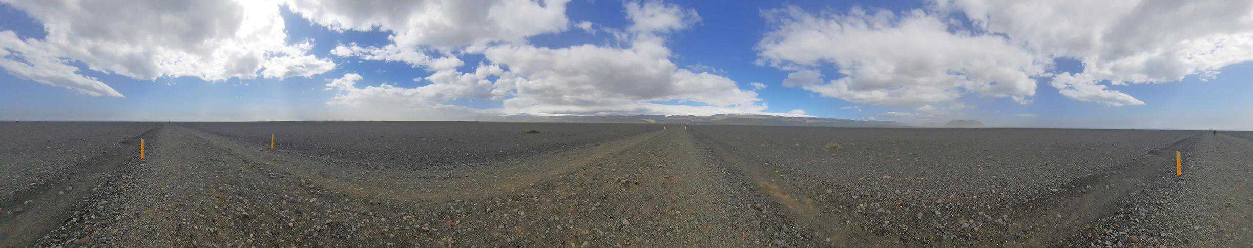
photography by: Omri Westmark
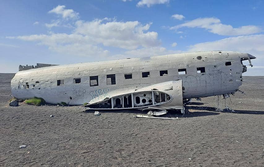
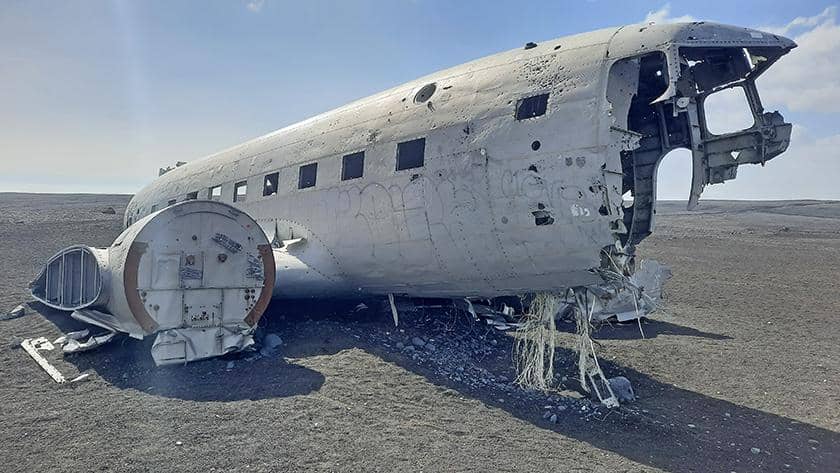
After more than 3.5 kilometers that are translated into 2 hours of walking, you’ll finally have the chance to spot the Douglas C-117D looming in the background. Despite its remoteness and the long hike, the site became a popular stop for travelers who circle the island, and yet, at the same time it managed to keep its eerie and mystic character amidst its growing popularity.
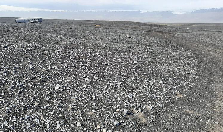
photography by: Omri Westmark
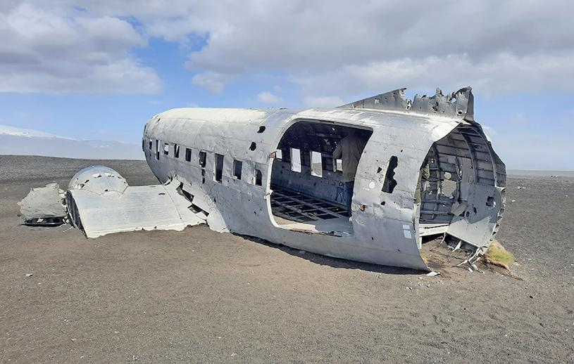
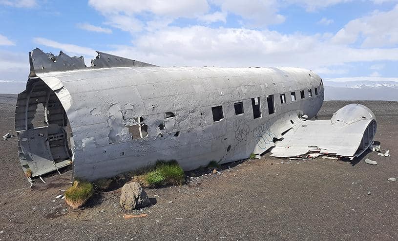
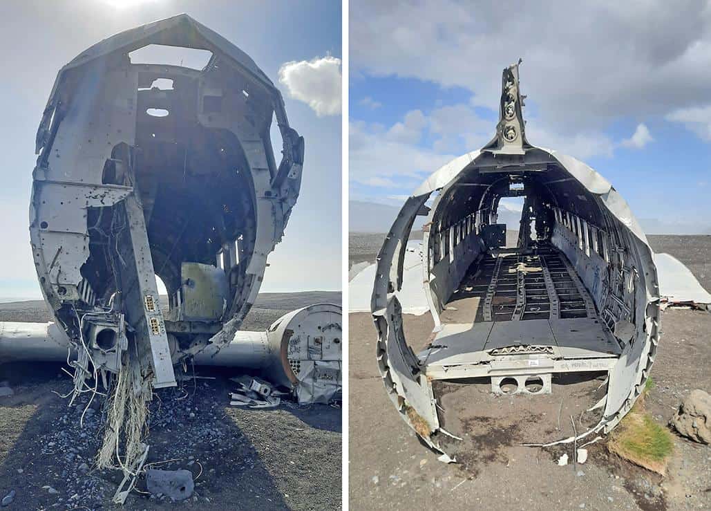
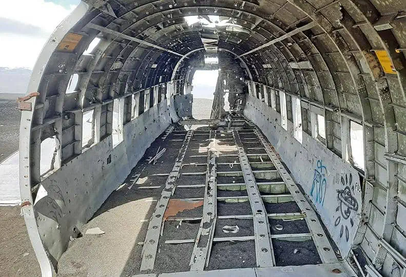
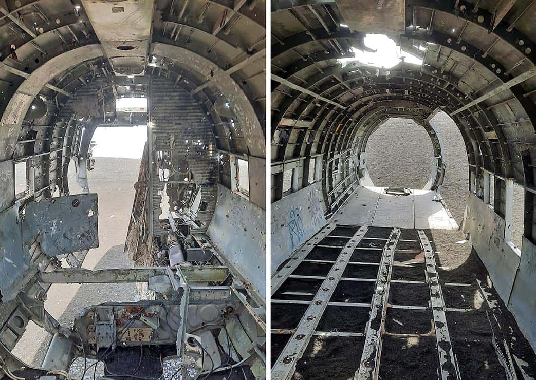
Since removing the debris from the crash site was deemed too costly and logistically complex, the airplane was scrapped by the US navy, emptying it of any valuable content while leaving the rest of it on the scene where it still lies to this day.
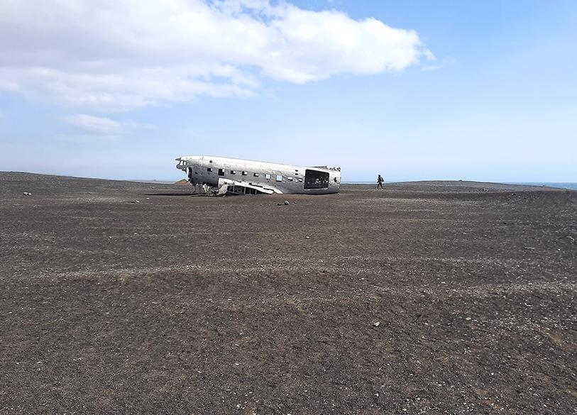
photography by: Omri Westmark
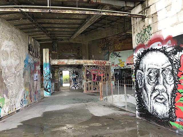
Following its abandonment, the dilapidated fuselage exchanged many roles. Firstly, it was utilized by farmers who owned the surrounding lands as a storage vessel, afterwards, as a target by hunters who practiced their skills, puncturing its hull with hundreds of bullet holes, and then as a large-scale canvas for graffiti artists.
photography by: Omri Westmark
Scared by the crash, the harsh elements and the numerous scavenging people over the years, the empty fuselage soon became a tourist attraction, flocked by locals and visitors from all over the world who were drawn to its mystical nature.
photography by: Omri Westmark
Amid its growing fame in recent years, the site featured in a couple of contemporary music clips and films, most notably Justin Bieber’s “I’ll Show You” and the Bollywood movie of “Dilwale”.
photography by: Omri Westmark
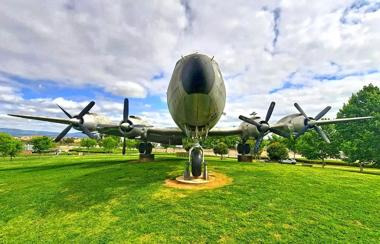
The aircraft was one of 4 Douglas C-117D planes that were stationed in Iceland during the cold war as part of the American endeavor to watch and detect any Soviet hostile activity around the Arctic Circle.
photography by: Omri Westmark
Originally, the plane was assembled in 1944 as a Douglas C-47 Skytrain, and was later converted to a Super DC-3 to meet the requirements of the US navy which utilized them for different military missions.
photography by: Omri Westmark
Before being deployed in Iceland’s Keflavik Airport, the aircraft served in both Korea and Vietnam wars. The US Naval Air Station of Keflavik, where the Super DC-3 was heading to at the day of the accident, was ultimately closed in 2006, whilst all of its facilities are now used by the Icelandic Army.
photography by: Omri Westmark
It’s well plausible that some of you might ponder whether an abandoned fuselage in the middle of nowhere actually worth the trouble of going there, and while to some extent, this metal husk can be regarded as somewhat overrated. It is the entire journey coupled with the aircraft’s otherworldly landscape as well as the occasional foggy-mystical conditions that make the whole experience well-worth the effort.
photography by: Omri Westmark
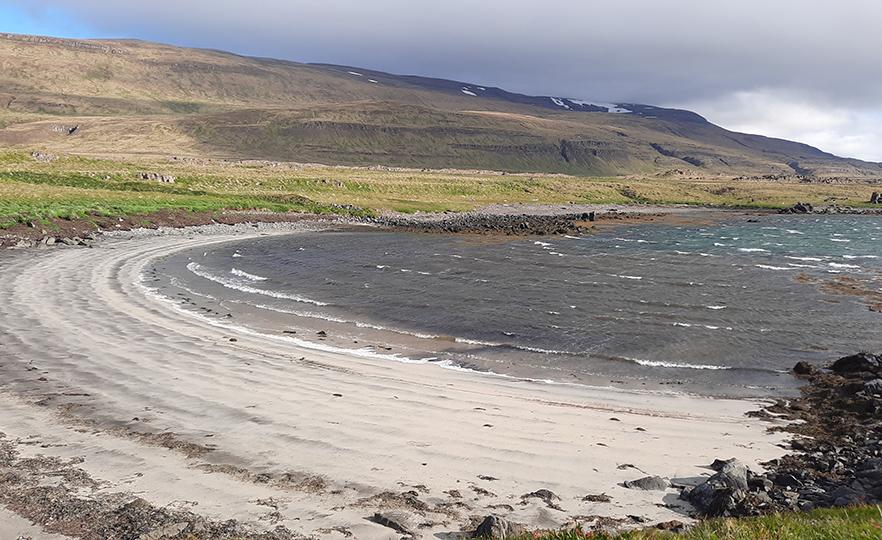
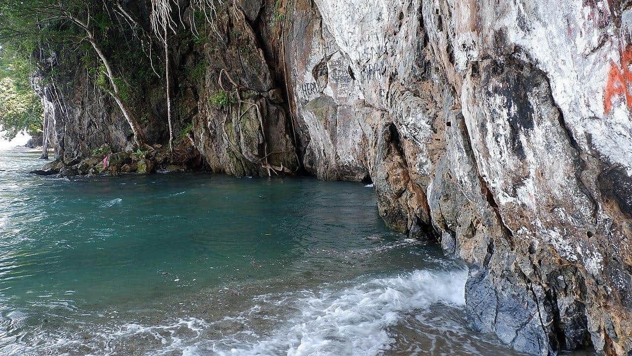
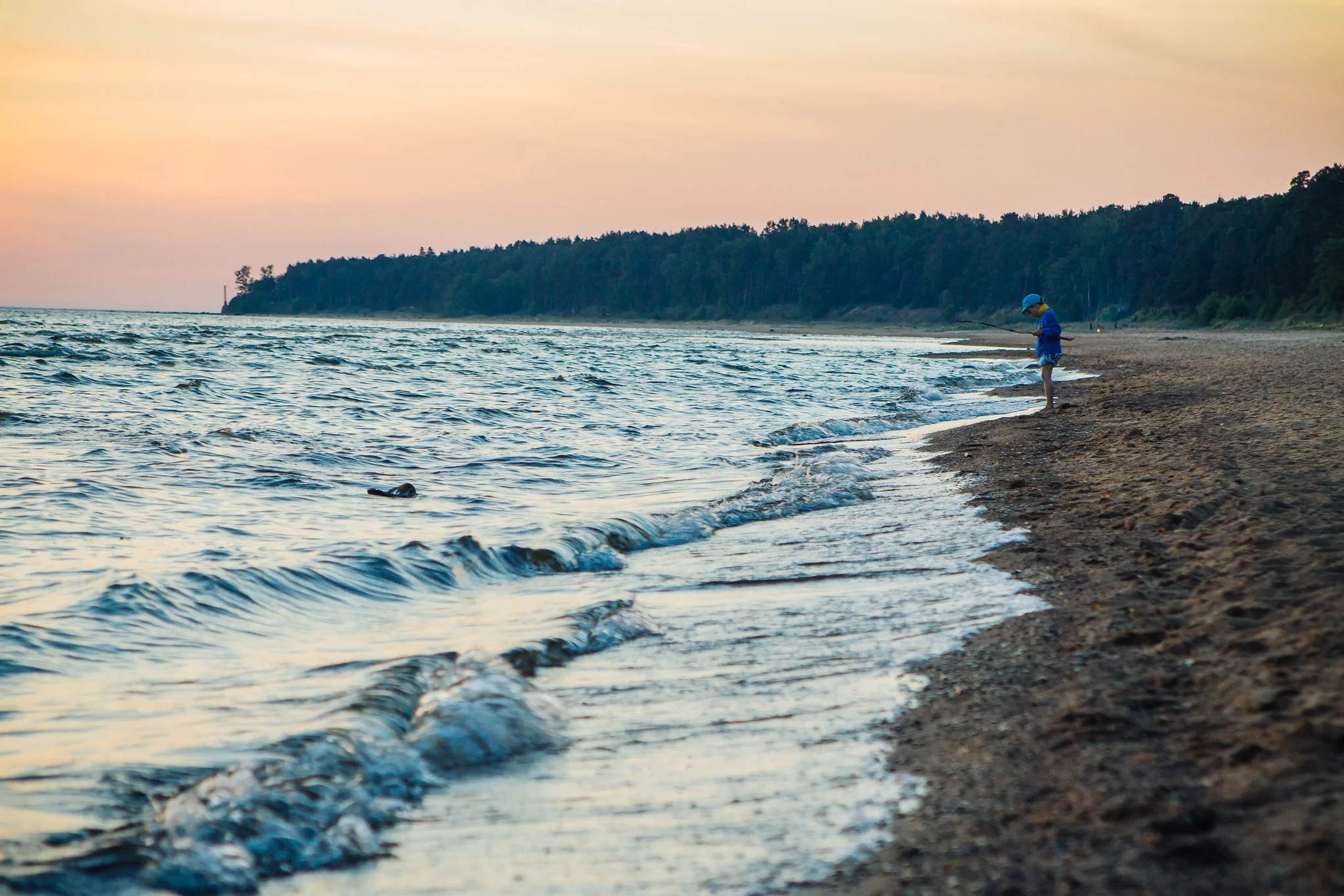
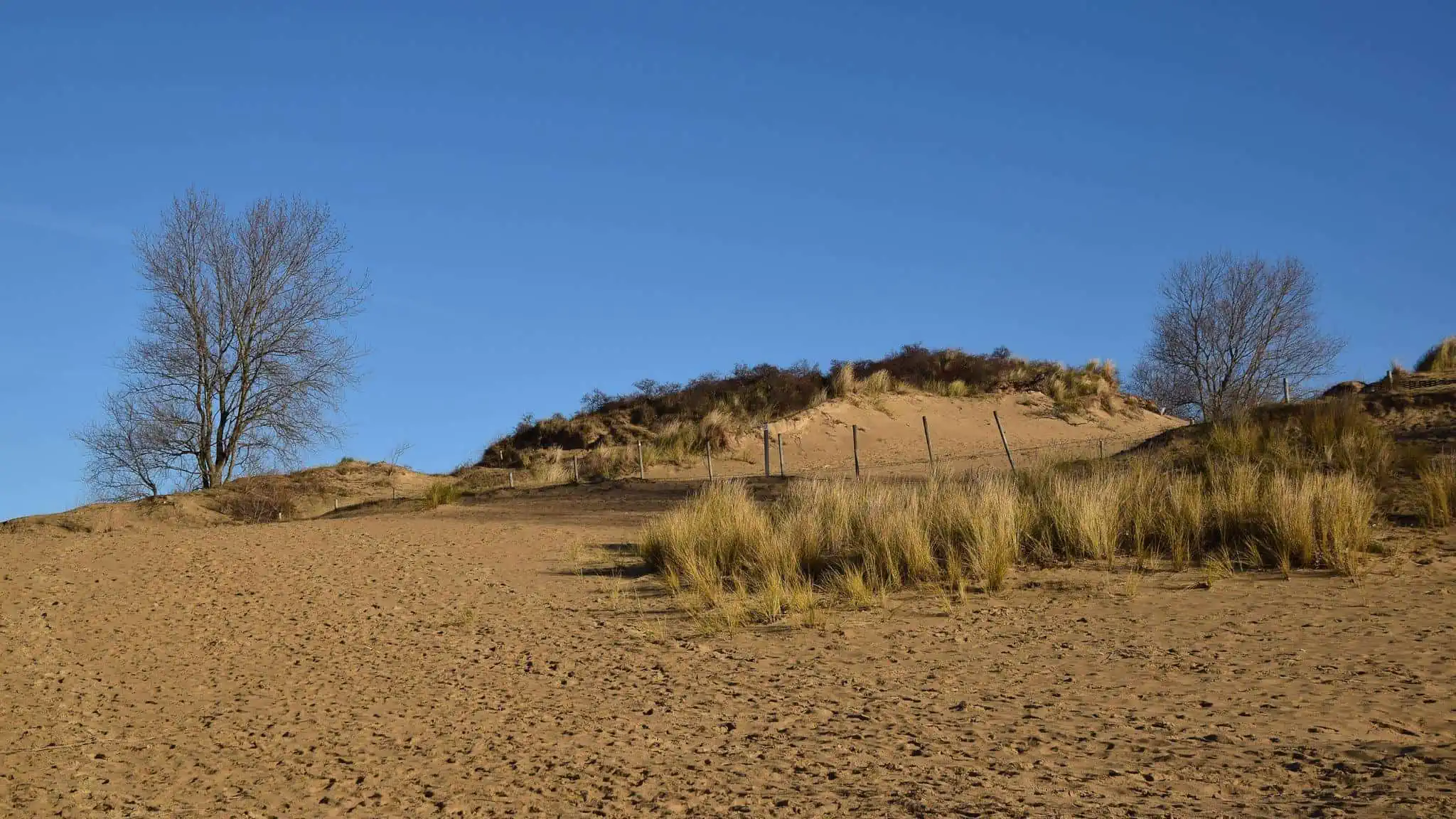
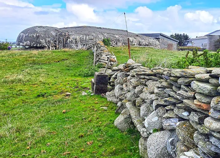
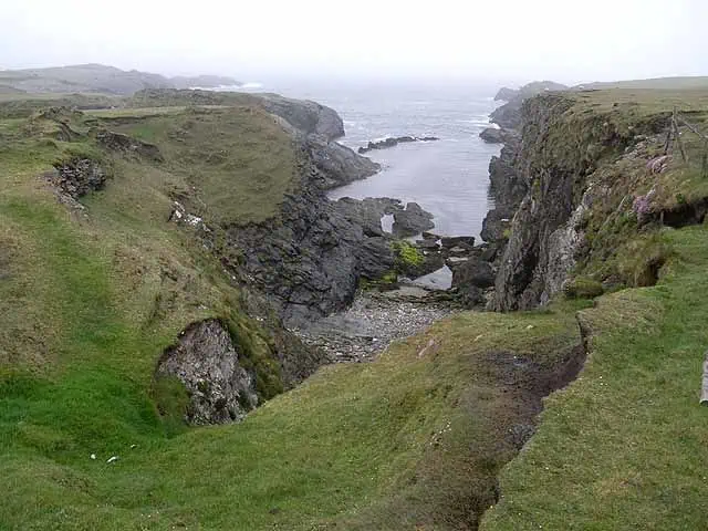
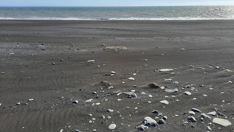
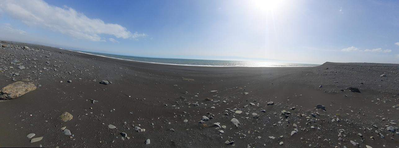
As you’ve probably understood by now, the crash site is located along Iceland’s south coastline, in fact, the extant fuselage is about 500 meters from the nearest beach, which is a remarkable place to visit by its own right.
photography by: Omri Westmark
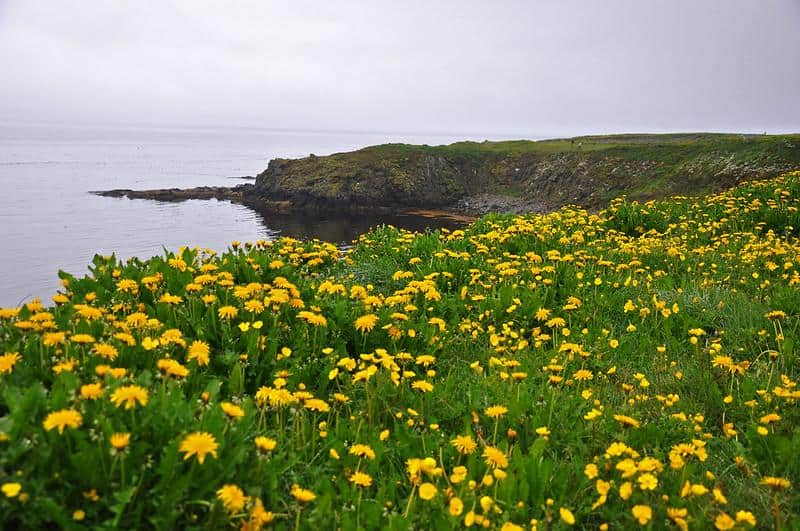
The coastal environment is home to several endemic species of plants, consisting of short and delicate bryophytes. Vehicular access to the area is restricted as their sheer fragility make those plants particularly vulnerable to being trampled by tires.
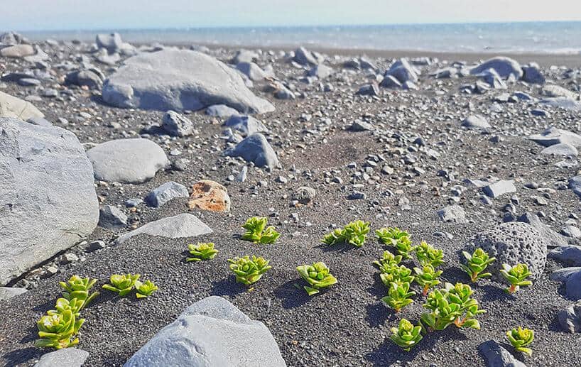
photography by: Omri Westmark
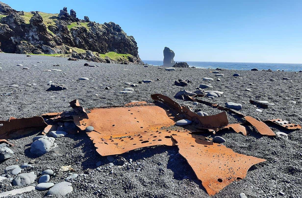
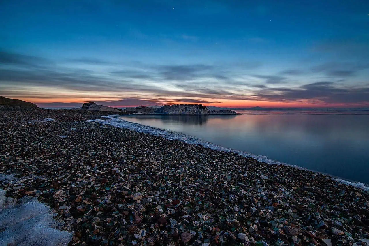
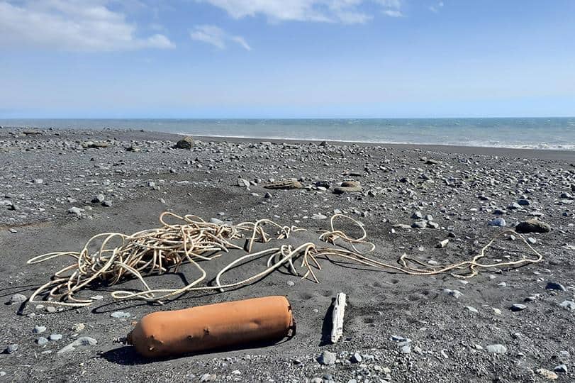
Due to its remoteness, Sólheimasandur’s black sand beach is largely spared from the modern-day hazards caused by humans, however, the remains of an oxygen tank alongside an outdated fishing gear cut short any hope for a purely clean beach.
photography by: Omri Westmark
As the nearby Atlantic Ocean is both frigid and choppy, swimming is not a viable option, nevertheless, this nook’s calmness makes it an ideal place to just sit on a boulder and gaze at the ocean to reconnect with the surrounding nature.
photography by: Omri Westmark