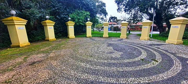
As the human population is set to reach 10 billion by 2050, more and more places across the globe are becoming increasingly overcrowded. While most of mankind’s demographic surge is best-felt in big cities, there are several islands throughout the world where the term “claustrophobia” is taken to another level. Constrained by an exceedingly limited space, each of the following islands and isles is home to a distinct community whose entire lifestyle and culture are shaped by the mind-boggling density.

By: Frank Skidmore
Date: 21:24 02.05.23
Last Update: 14:22 10.05.23
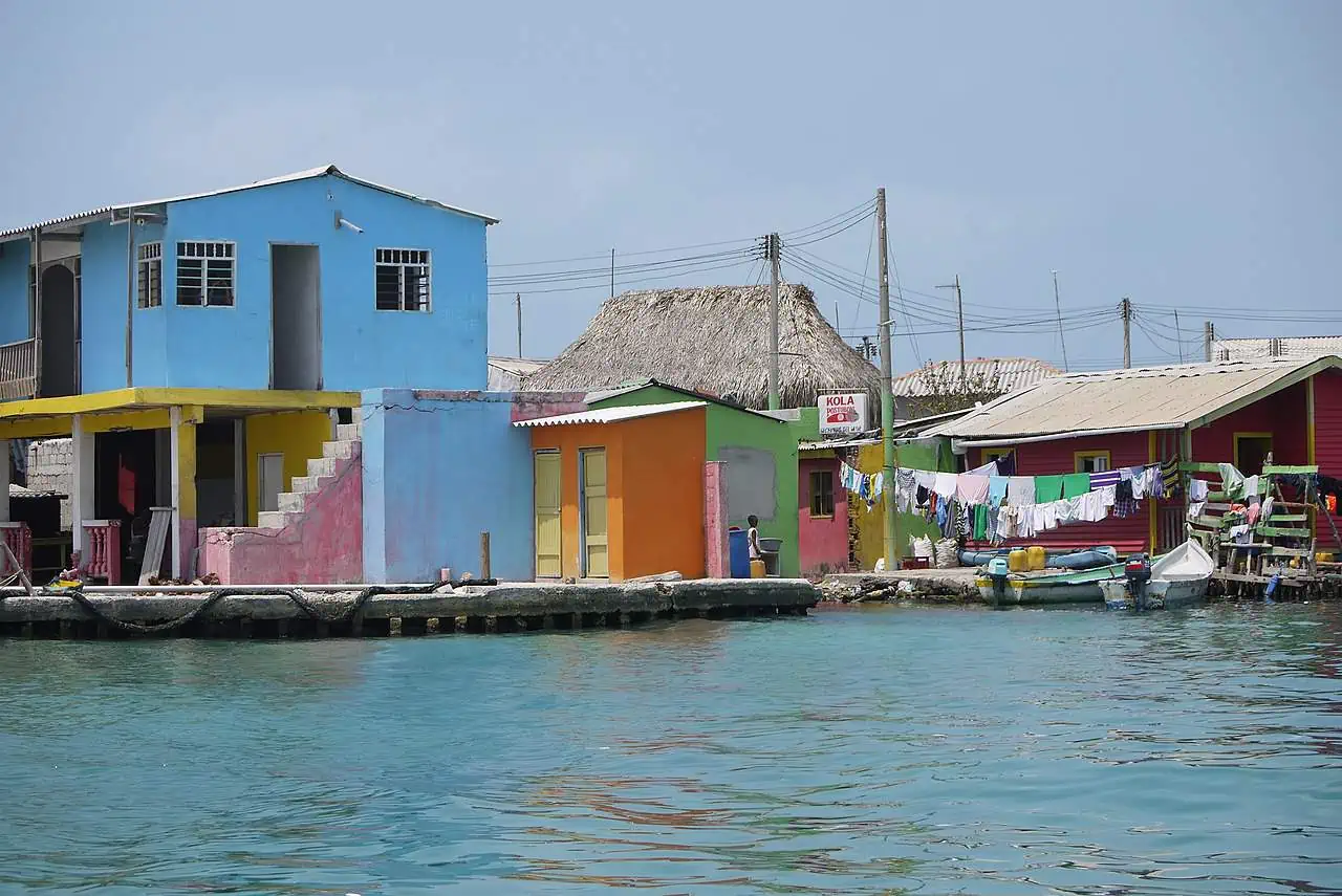
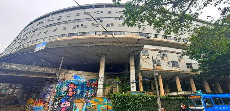
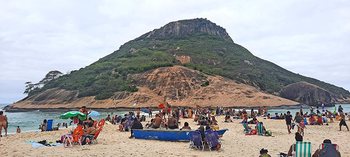
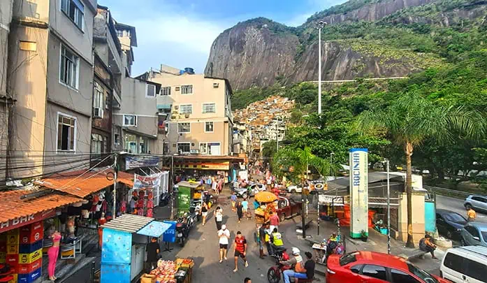
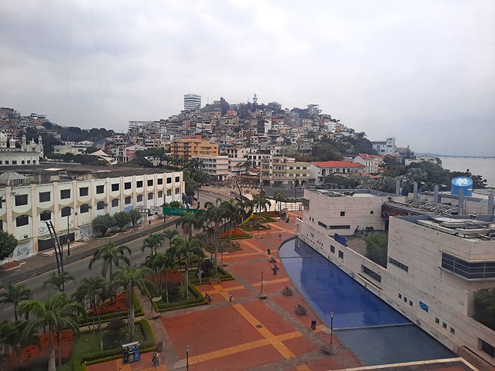
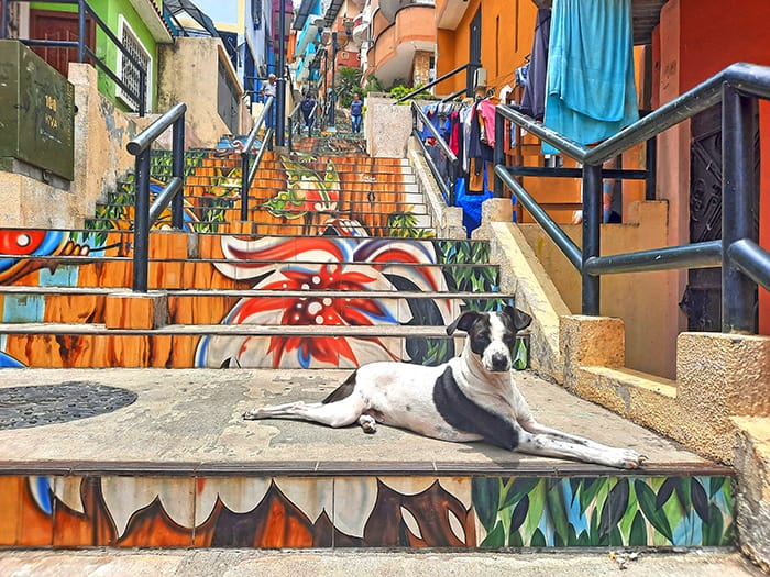
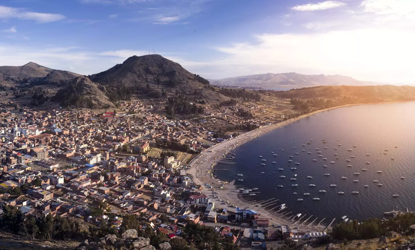
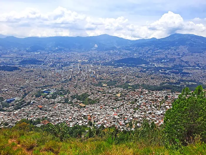
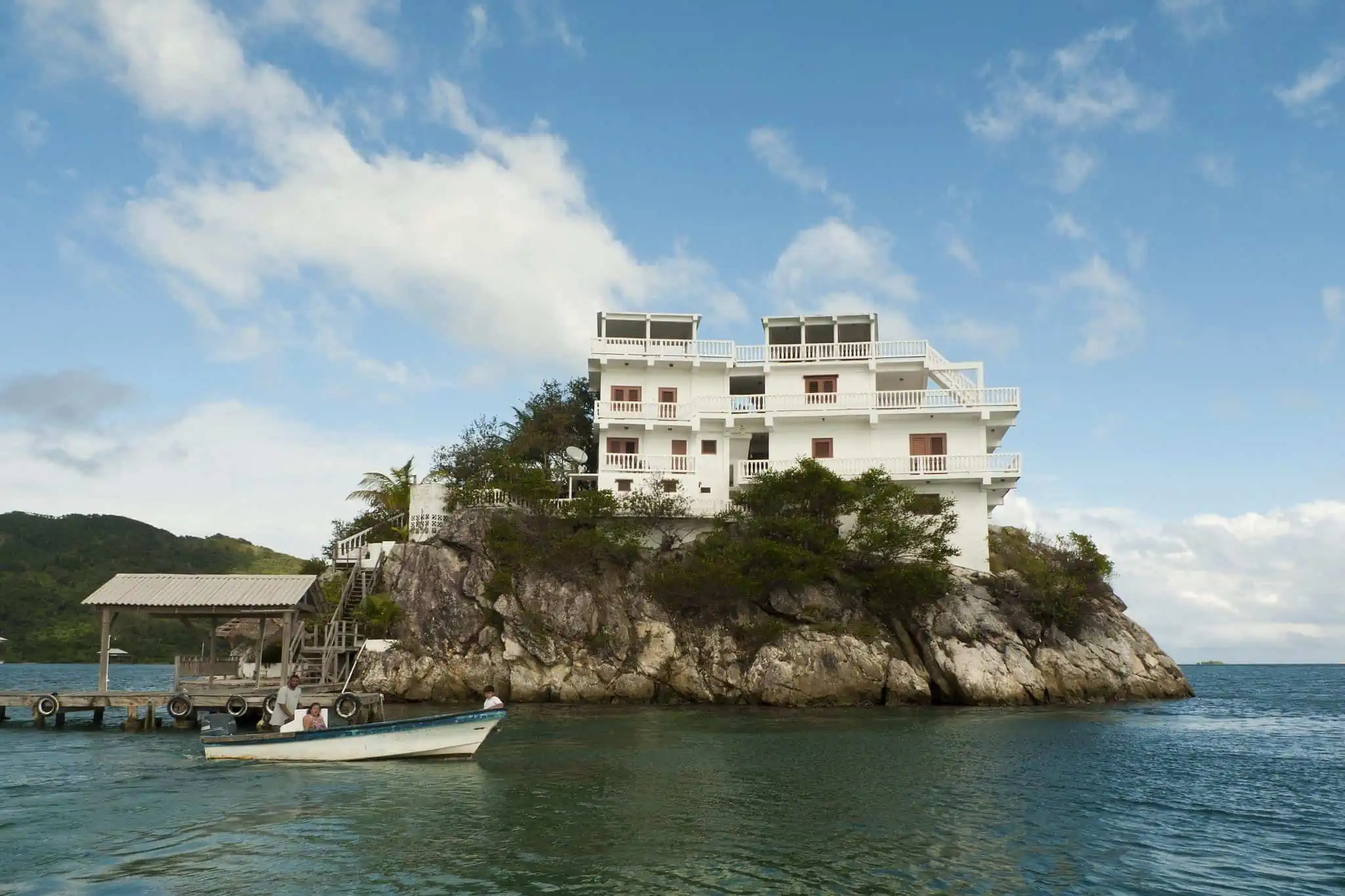
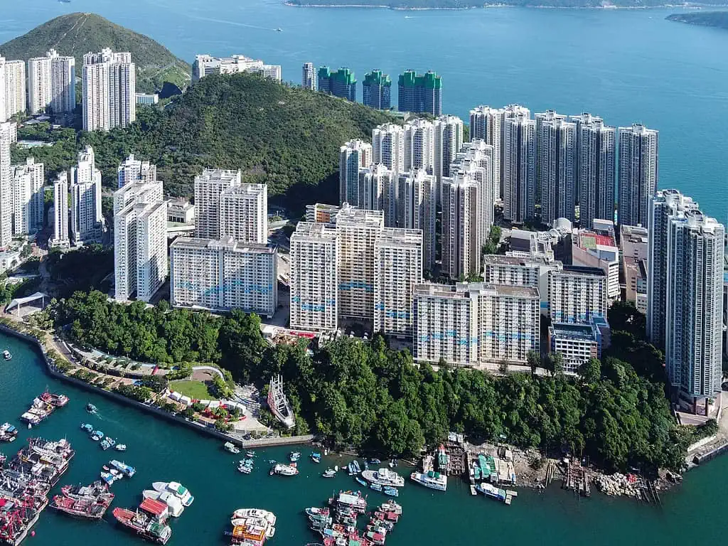
With 6,749 people per every square kilometer, Hong Kong is one of the world’s most jam-packed cities. Nevertheless, as the territory’s population is not spread evenly, there are in fact areas where the level of density far-exceeds the citywide average, the most extreme of which is Ap Lei Chau (Aberdeen Island).
Nestled merely 150 meters off the southern coast of Hong-Kong Island, the tiny Ap Lei Chau is home to a whopping 79,000 inhabitants, squeezed within an area of only 1.30 square kilometers. That in turn, doesn’t only make it the fifth most densely populated island in the world with 61,328 people per km2, but also the most crowded one with a population of over 10,000 residents.
The island, which owes its name to its supposed shape of a duck’s tongue (Ap – duck, Lei – tongue, Chau -Island), was formerly a part of the British Empire which ruled the island together with the rest of Hong Kong following the First Opium War with China, and the ensuing Treaty of Nanking in 1841. By the time the island was reintegrated into China under the “one country, two systems” policy in 1997, it became dotted with tall residential towers centered around an unspoiled verdant mountain.
Over the years, Ap Lei Chau underwent a massive development process, including the construction of a highway and railway bridge which links the small landmass with Hong-Kong Island, the building and demolition of a power plant and perhaps most notably, a land reclamation project that slightly alleviated the island’s claustrophobic nature.
The narrowly spaced apartment blocks of Ap Lei Chau
photography by: Wpcpey/ Wikimedia Commons
There are more than 7,100 islands across the Philippine archipelago, of which only 2,000 are inhabited. As the country’s 10 largest islands are where the vast majority of Filipinos live, the archipelago’s smaller islands often remain out of the spotlight. Tucked away about 13 kilometers north of Bohol, Caubian Gamay and Caubian Daku are a pair of pint-sized islands, steeped in the turquoise waters of Danajon Bank, the world’s largest double barrier reef and the only one in the Philippines.
Despite their relative similarity in size as well as a sheer proximity to each other, the two islands couldn’t be more different from one another. Whereas the resort island of Caubian Daku doesn’t have any permanent inhabitants, its slightly smaller counterpart is home to a staggering 2,249 people. As Caubian Gamay barely surpasses 4 hectares, it has a population density of 60,725 inhabitants per km2, making it the country’s most densely populated island by a large margin.
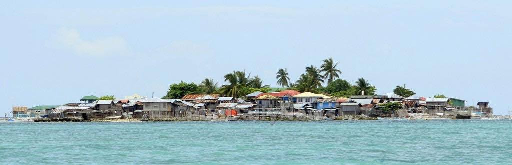
Caubian Gamay Island from afar
photography by: Ram Mancelita/ Wikimedia Commons
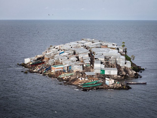
The largest inland body of water throughout Africa as well as the world’s second largest freshwater lake, Lake Victoria serves as a major source of livelihood and water for all three countries with which it shares a border – Uganda, Kenya and Tanzania. As a result of the ongoing climate change, the lake’s water level has been receding for quite some time. That has led to a series of unintended consequences, the most notable of which occurred in the early 1990’s, when an insignificant, tiny rock turned into a full-fledged island.
Surrounded by incredibly fish-rich waters, Migingo Island soon became a magnet for local fishermen from Kenya and Uganda who set their base of operation along its rugged shore. As this speck of land straddled the mid-lake Kenyan-Ugandan border, both African nations claimed sovereignty over the island, triggering dozens of diplomatic skirmishes in the following years. Nevertheless, in the same period of time, an increasing number of fishermen opted to settle within the tiny rocky islet, enticed by the area’s lucrative Nile perch industry.
In 2009, following a decade or so where Migingo’s residents were harassed by the Ugandan police for supposedly not complying with its laws, the country decided to withdraw all of its troops from the Island, which was then formally recognized as part of Kenya.
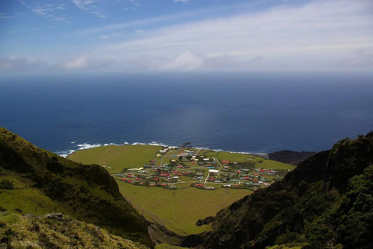
Covered almost entirely with rickety corrugated-tin hovels, the 2,000 square meter island officially has a population of 131, though in practice figures may be far higher. Whatever the true numbers are, Migingo is Africa’s most densely populated island with more than 65,500 people per km2. Somewhat surprisingly, within the island’s miniscule confines, one can find a couple of bars, a pharmacy, a brothel and even a makeshift casino.
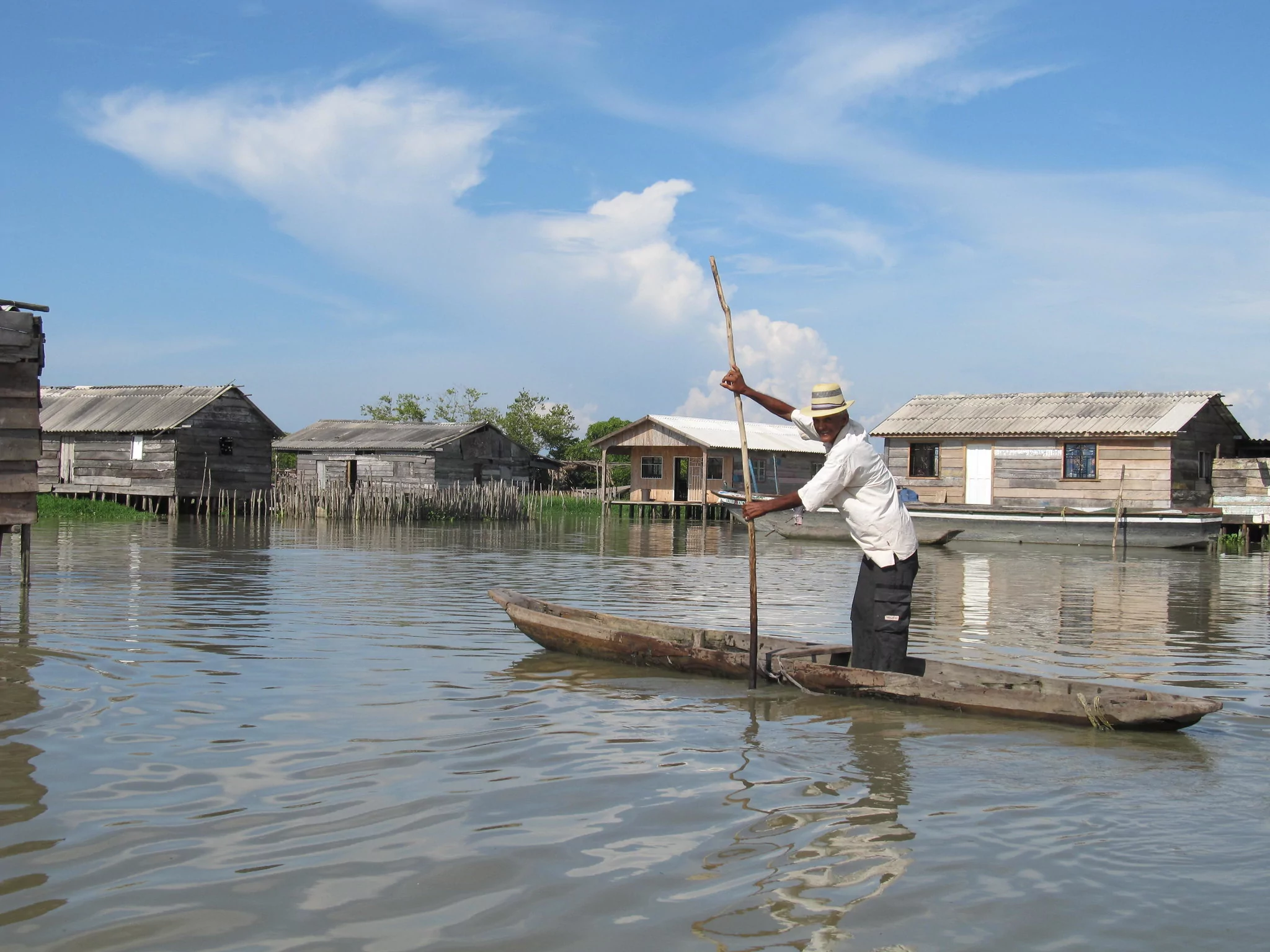
Stretching across the Gulf of Morrosquillo along Colombia’s Caribbean coast, San Bernardo Archipelago is comprised of ten islands. While 9 out of the archipelago’s 10 islands are everything you’d expect from a tropical paradise, the tenth isle bears no resemblance to its nearby counterparts. With a size equivalent to that of Trafalgar Square in London, Santa Cruz del Islote is ridiculously small and yet, it is arguably the world’s most crowded island.
According to the lore, two centuries ago, the islet was merely an elevated sea bed formed by the incessant accumulation of corals. That is, until local fishermen from the surrounding islands were lured to the unassuming spot, presumably due to the absence of mosquitos. To cement their presence, the piscators created a tiny isle using everything they could lay their hand on, including coral stones, rocks and garbage.
Since the late 19th century, when Santa Cruz del Islote was first formed, the semi-artificial island has witnessed a massive demographic boom. In fact, some estimates put the number of residents at more than 1,000, all of whom are huddled in a meager 12,140 square meters. That, in turn, is translated to a jaw-dropping density of over 100,000 people per km2. Other figures are far more modest, suggesting that the population is actually somewhere between 500 to 800.
Whether Santa Cruz del Islote is Earth’s most claustrophobic island is up for you to decide, one thing is clear though, with neither cars and motorcycles, nor crime, it serves as a time capsule where laid-back vibes reign supreme.
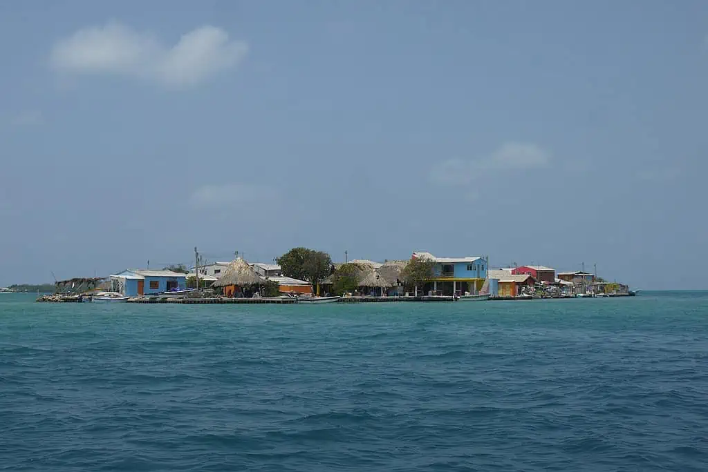
Santa Cruz del Islote as seen from a boat
photography by: Uhkabu/ Wikimedia Commons
Sandwiched between Mainland Haiti and Île-à-Vache, Canal de L’est is a strait whose southern half is dominated by a series of sandbars of cays. Ensconced on the eastern tip of the strait’s string of shoals, the aptly named Caye de l’Est (The Eastern Cay) is a place so extreme that even a mid-desert refugee camp might seem more hospitable to some.
Locally known as Ilet a Brouee, this overcrowded patch of sand spans across a measly 4,000 square meters or slightly less than one acre, equivalent to a single soccer field. With an estimated population of 500 inhabitants (most of whom are local fishermen), calling Ilet a Brouee a “sardine box” would be an understatement. In fact, given its current demographics, the island’s density sits at around 125,000 people per km2, making it, at least on paper, the world’s most densely populated island. As the only source of income throughout the island is fishing, Caye de l’Est is akin to one big fish-processing plant.
If you thought for a moment that the isle’s overpopulation is its sole challenge to cope with, then think again as this speck of land is situated right in the middle of a hurricane-prone region. In 2016, a fifth of the island’s miniscule landmass was trimmed by Hurricane Matthew, further cementing its dubious claim as the densest islet on our planet.
Lacking any basic amenities such as electricity, running water, sewage system, education or medical care, Ilet a Brouee is not for the faint hearted. Almost every square inch of land throughout the island is blanketed with poorly built huts whose outer walls are made of either straw, palm leaves or tarps, with the only exception being the church and grocery store (both of which are concrete buildings). To top it all, none of the cay’s houses or narrow alleyways feature a paved floor, instead, the surface is covered completely by bare sand.
View this post on Instagram