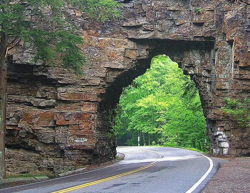
Often perceived as purely utilitarian, roads usually serve as a mean to get from point A to B rather than being a tourist attraction by their own right. Nonetheless, the 469-mile-long Blue Ridge Parkway across the Appalachian Mountains defies this notion, boasting a scenic driving experience amid the spectacular landscape of Virginia’s and North Carolina’s western counties. Standing out among the dozens of scenic points along the way is Chestoa Viewpoint, offering a breathtaking vista as well as a short, yet pleasant wooded trail.

By: Omri Westmark
Date: 22:36 03.05.22
Last Update: 16:42 31.01.23
As its name suggests, the Blue Ridge Parkway spans 469 miles (755 kilometers) across the Blue Ridge Mountains, a part of the greater Appalachian Mountain Range. While the scenic roadway provides access to countless nationally renowned places such as the Humpback Rock, Mount Mitchell State Park and the Devil’s Courthouse, it also abounds with small off-road viewpoints, each of which is bestowed with its own unique vista.
Ensconced next to the Parkway’s 320 milepost, slightly south of Linville Falls, Chestoa viewpoint and trail is one of the most secluded scenic points along the road. Obscured by a dense thicket, the place is rarely frequented by spontaneous visitors, as its sheer beauty is well hidden for drivers.
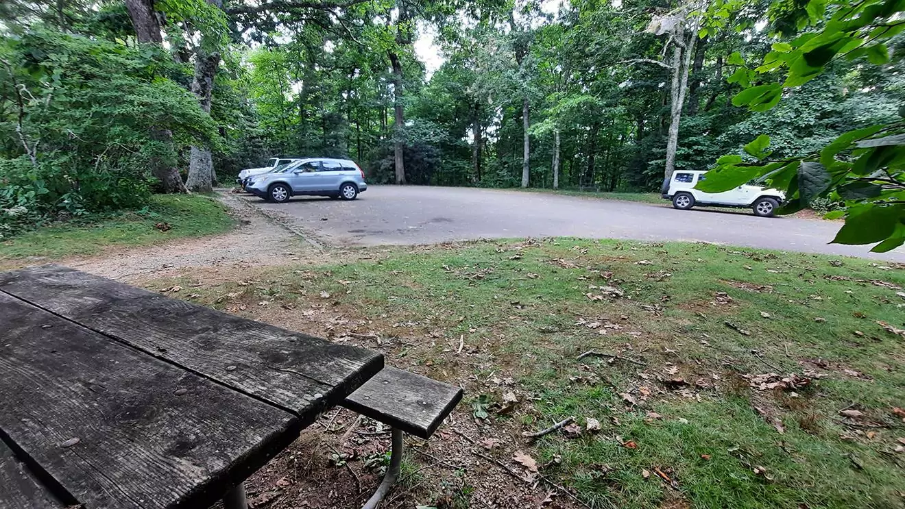
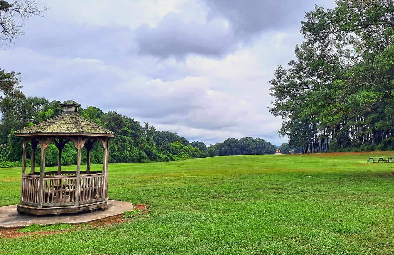
The parking area, also accompanied by a couple of picnic tables
photography by: Omri Westmark
The 32-step staircase that ultimately leads to Chestoa scenic point
photography by: Omri Westmark
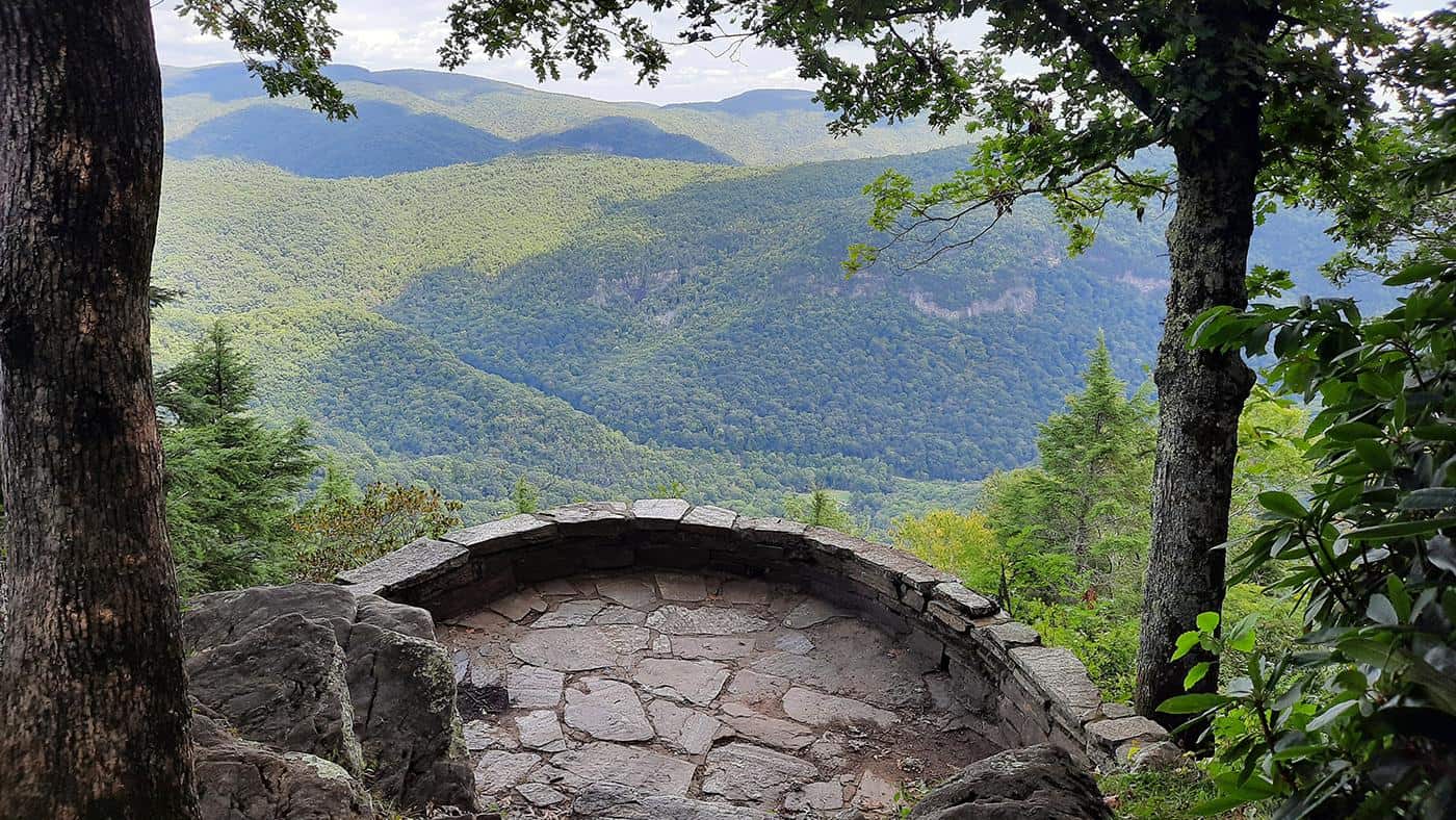
Chestoa's stone balcony, offering a panoramic view of the Blue Ridge Mountains
photography by: Omri Westmark
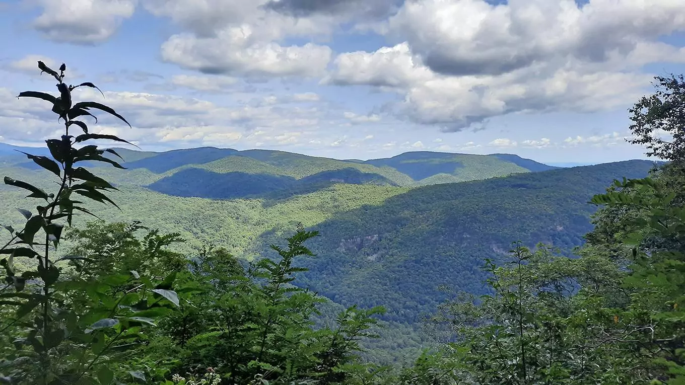
The surrounding verdant landscape as seen from the balcony
photography by: Omri Westmark
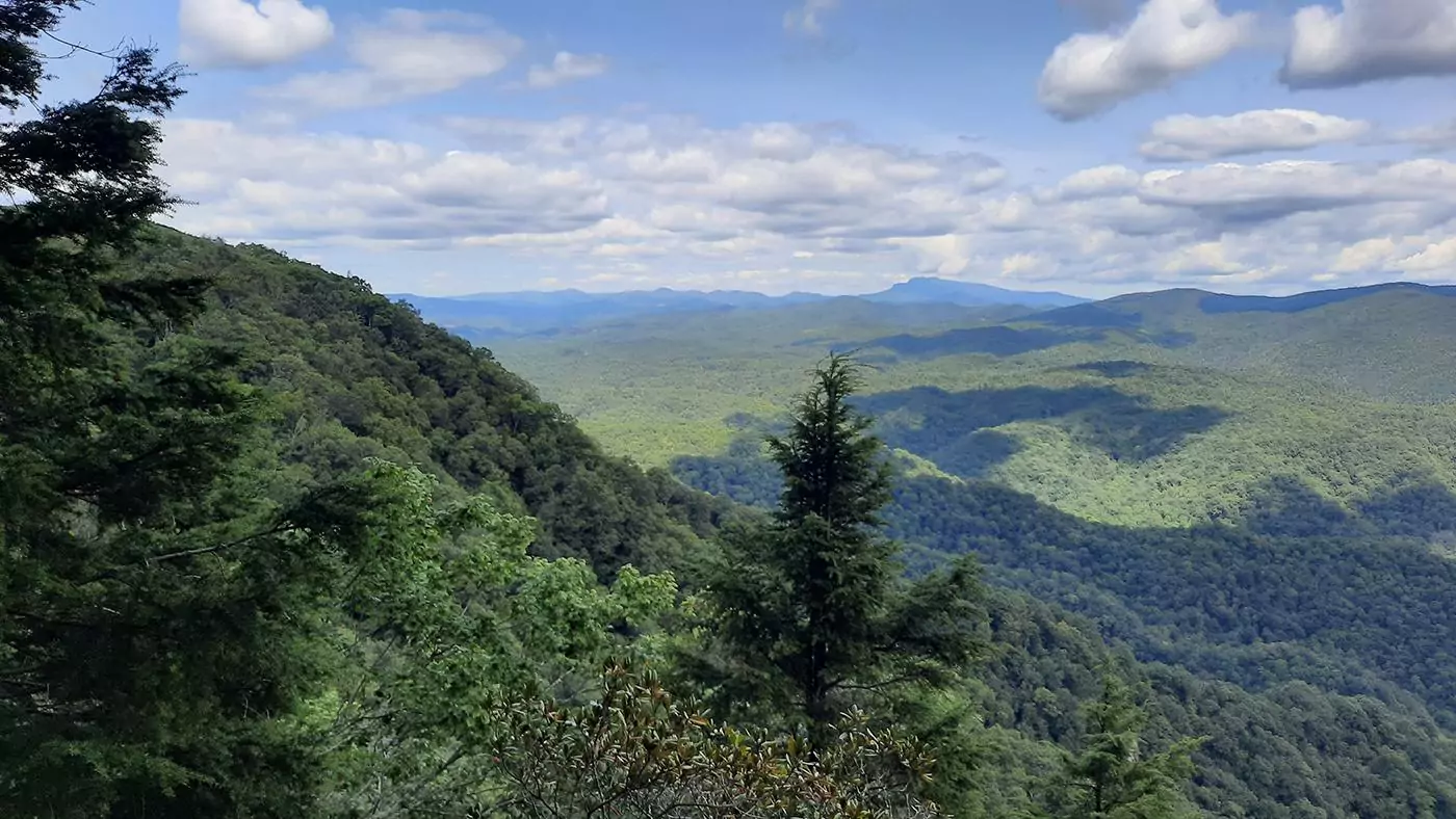
The Grandfather Mountain along dozens of forested mounts, viewed from the scenic point
photography by: Omri Westmark
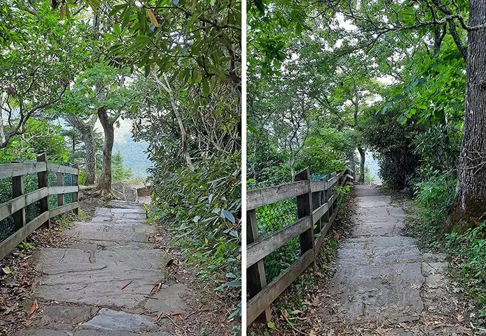
A 0.25-mile-long downhill pathway from the parking area, followed by a 32-step staircase, lead to the site’s iconic stone balcony. Offering stunning panoramic views of the surrounding verdant mountains, the Chestoa Viewpoint overlooks the adjacent Linville Gorge as well as providing a distant glimpse of the Grandfather Mountain and the Table Rock.
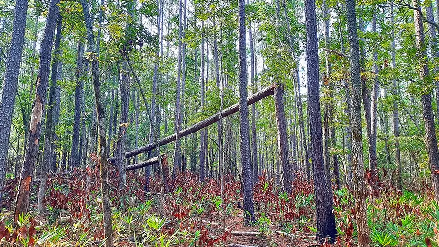
Derived from the Cherokee indigenous tribe’s term for rabbit, the Chestoa viewpoint is also home to a 0.6 mile or 1 kilometer trail that traverses the nearby forest. Lacking any major elevation gains, the short deep-forest loop takes about 20 minutes to complete, making it a pleasant and easy-going stroll through the woodlands.
Besides the occasional views of the region’s forested peaks, looming in between the dense vegetation, the trail gives hikers the opportunity to appreciate the area’s rich biome, including Mountain Laurel, Rhododendron and Azaleas. The trail culminates at a fenced glade where a sole wooden bench offers a mind-boggling vista of the Table Rock Mountain, free from the hustle and bustle of modern-life.
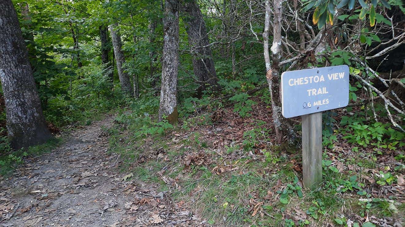
Chestoa's trailhead
photography by: Omri Westmark
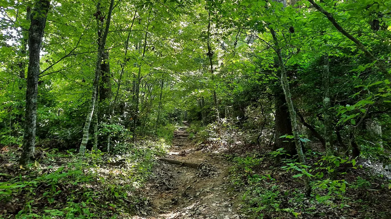
The wooded trail
photography by: Omri Westmark
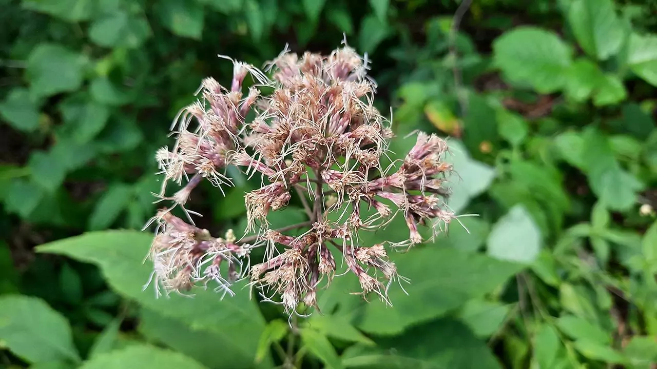
One of dozens of plant species throughout the forest
photography by: Omri Westmark
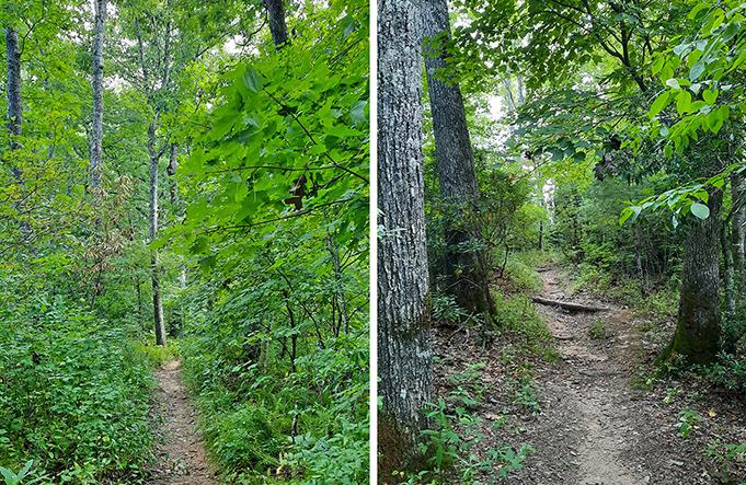
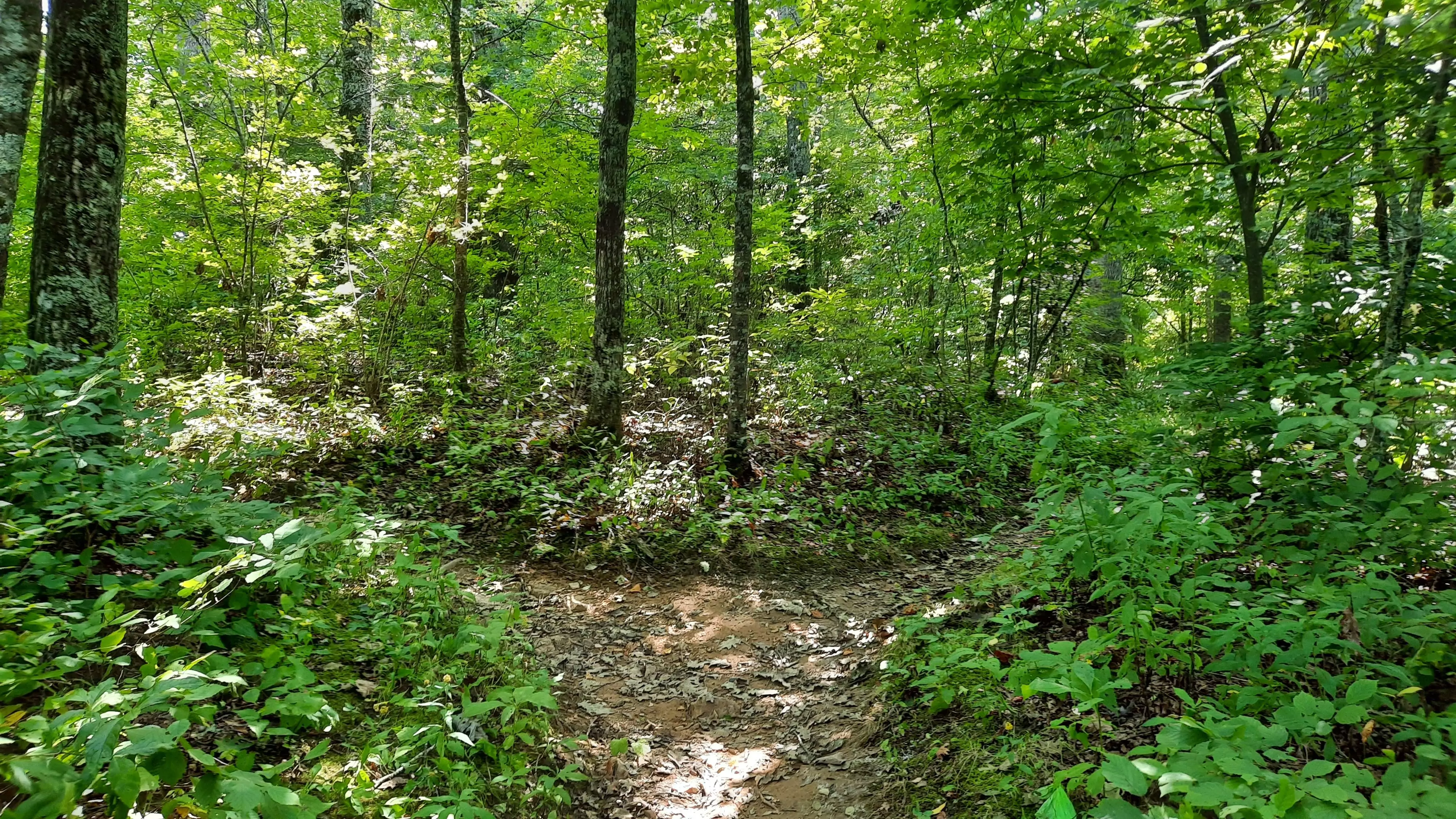
The narrow pathway across the woodlands
photography by: Omri Westmark
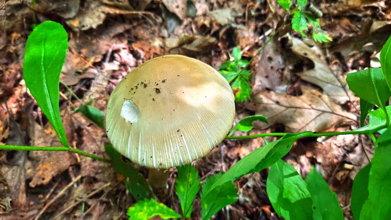
An adorable mushroom amid the forest floor
photography by: Omri Westmark
The point where the trail splits into the loop, and so, both ways are right
photography by: Omri Westmark
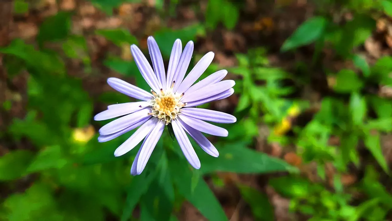
A beautiful flower blooming, contrasting the brownish and green backdrop
photography by: Omri Westmark
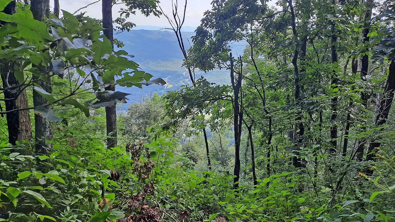
Partly obscured by the dense thicket, the surrounding breathtaking views of the Blue Ridge Mountains
photography by: Omri Westmark
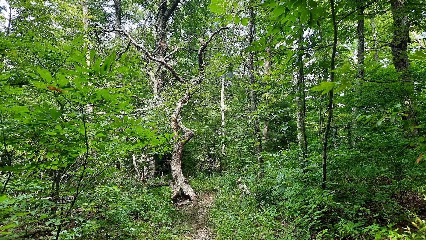
A twisted dead tree along the way
photography by: Omri Westmark
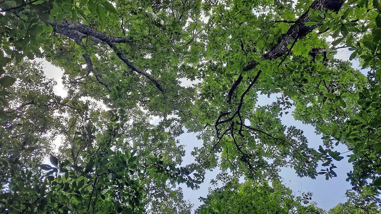
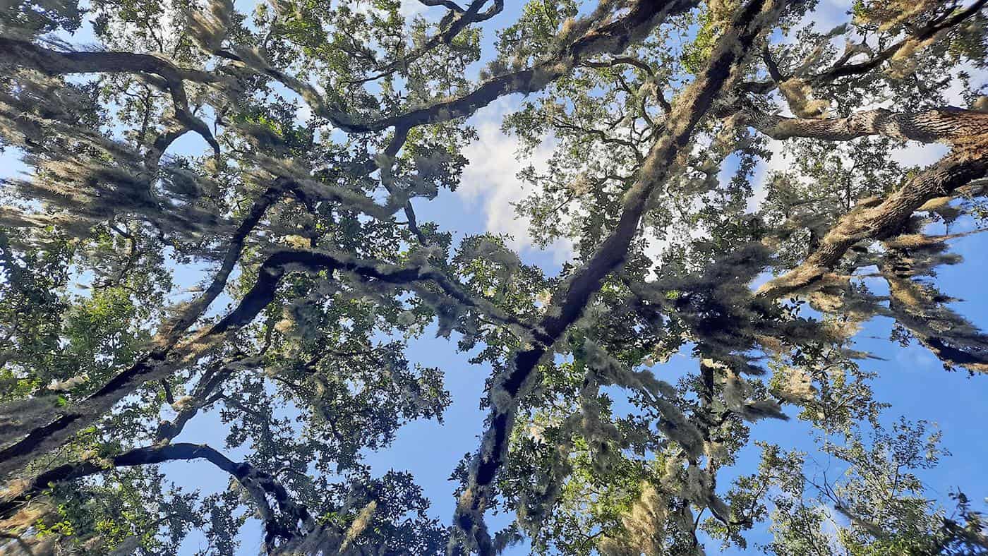
An upward canopy perspective
photography by: Omri Westmark
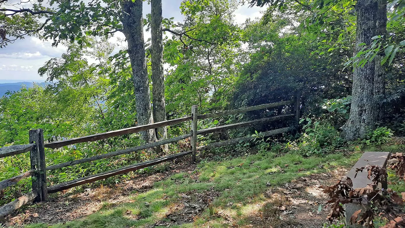
The fenced area, where a lone bench provides a stunning vista of the closeby Table Rock
photography by: Omri Westmark
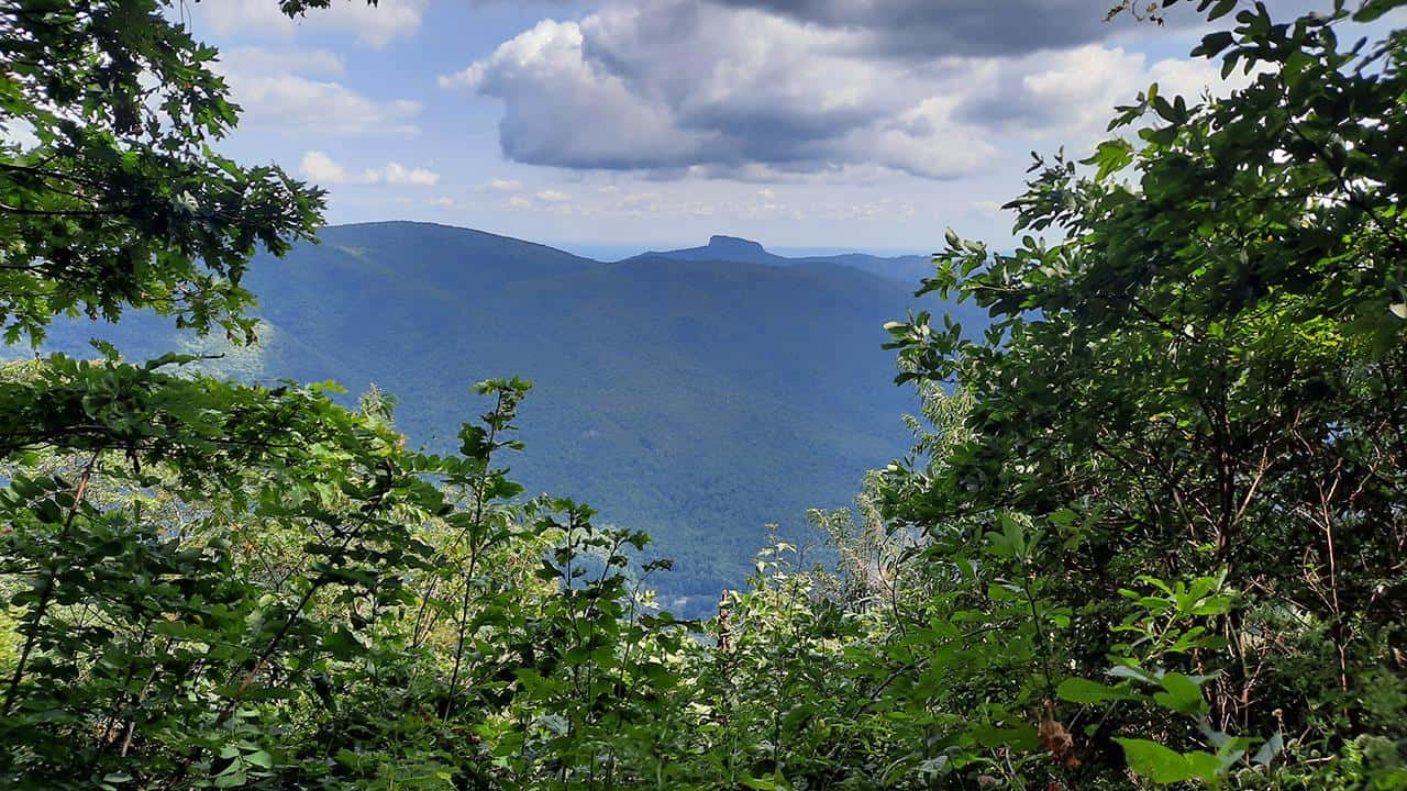
The spectacular view of the Table Rock Mountain (in the middle), as seen from the bench
photography by: Omri Westmark