Established in 1944, visitors to Big Bend National Park are welcomed with an expansive and often times overwhelming landscape. Located on the southern edge of west Texas, deep within the American southwest, Big Bend is a land of rugged beauty that welcomes over 350,000 guests each year. With so much to discover throughout the park, it's possible to spend weeks at a time inside its borders and still miss out on some of the most magical sights and experiences that Big Bend has to offer. From its highest peaks to its lowest river banks, this article is intended to serve as a leaping-off point for first time visitors who are planning a Big Bend adventure and are unsure where to start.

By: Marcus Connolly
Date: 22:34 16.12.20
Last Update: 11:21 30.07.21
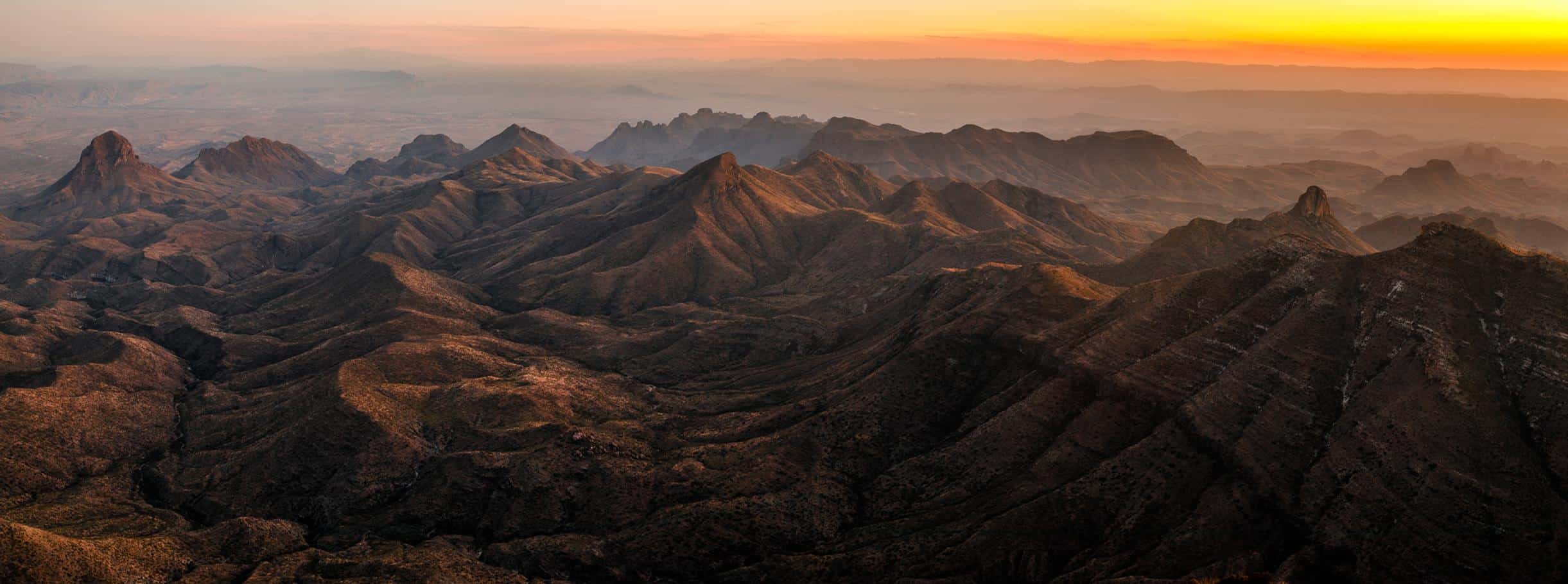
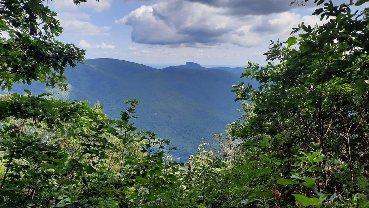
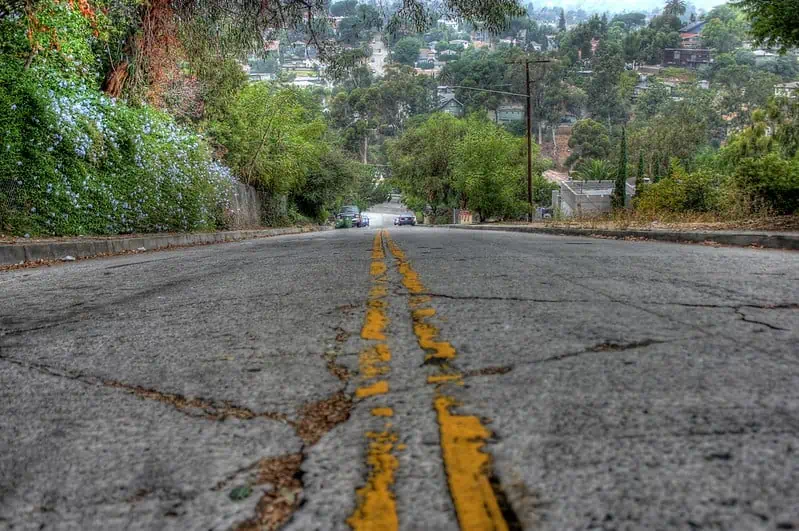
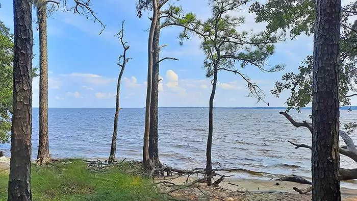
Driving towards Panther Junction from the northern park entrance, the long and winding road extends for miles through the golden dust and scrub of the Chihuahuan Desert. Its immense landscape becomes peppered with colorful wildflowers in the spring, its skies filled with formidable storms during the monsoon season that is summer, and the golden light of the descending autumn sun leaves a mark on all those who travel through it. As night falls, the desert buzzes to life as the cool dark skies offer respite from the unending sun. Coyotes and Javelinas dart through the arid underbrush, centipedes and scorpions scour the sand for their next meal, and bats flutter in the darkness above. As the light from the rising sun extinguishes the night sky, the desert begins to glow under the coming daylight as its inhabitants prepare to once again take shelter. This is how Big Bend welcomes you to this region of west Texas, the desert serving as a preliminary greeting to visitors as the twisting road gives you its first glimpse of the Chisos Mountains in the distance.
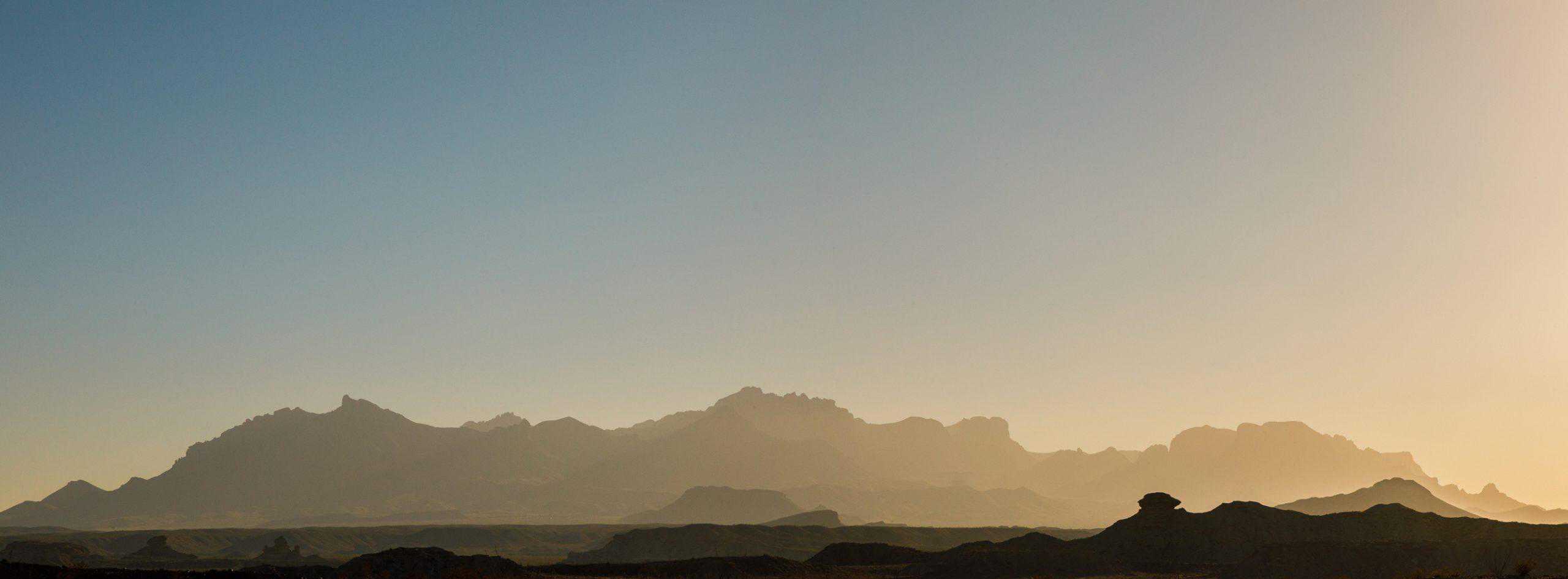
The first glimpse of the Chisos Mountains
photography by: Marcus Connolly
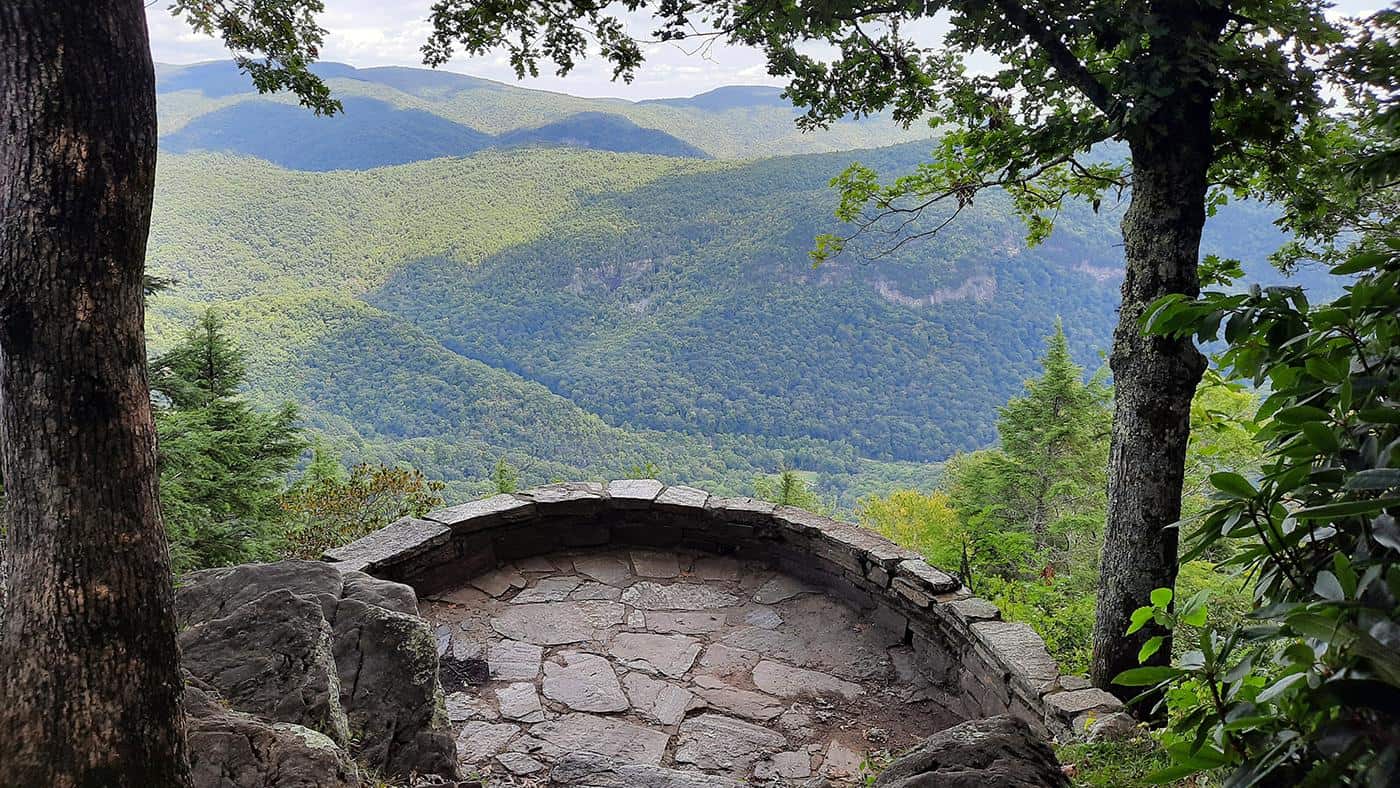
Rising out of the sky like an island surrounded by a sea of desert, the Chisos are the only mountain range to be entirely contained within the boundaries of a national park. Its multiple peaks stretch upwards to the parks highest point, Emory Peak at 7,825 ft, and provide a home for Mexican Black Bears, Mountain Lions, Carmen White-Tailed Deer and more. Big-Tooth Maple, Oak, and Ponderosa Pine offer more than enough shade from the harsh light of the sun, and the high elevation of the mountains are generally ten degrees cooler than the desert below, providing ample hiking opportunities during the warmer months. Starting at the Chisos Basin, multiple hiking trails branch off and lead to different areas of the mountain range. Hikers looking for a challenge may want to take on the Emory Peak Trail, its steep switchbacks leading up to the parks highest natural point, while those looking for a less exhaustive journey may opt to traverse the Laguna Meadow trail and bask under the cover of trees that line the path. Hikers who follow these trails long enough will eventually see them converge along the southern rim of the Chisos mountain range. Abruptly ending in a cliff wall that extends downwards for over a thousand feet, the South Rim is the junction at which the Chisos sharply transition back into low elevation desert.
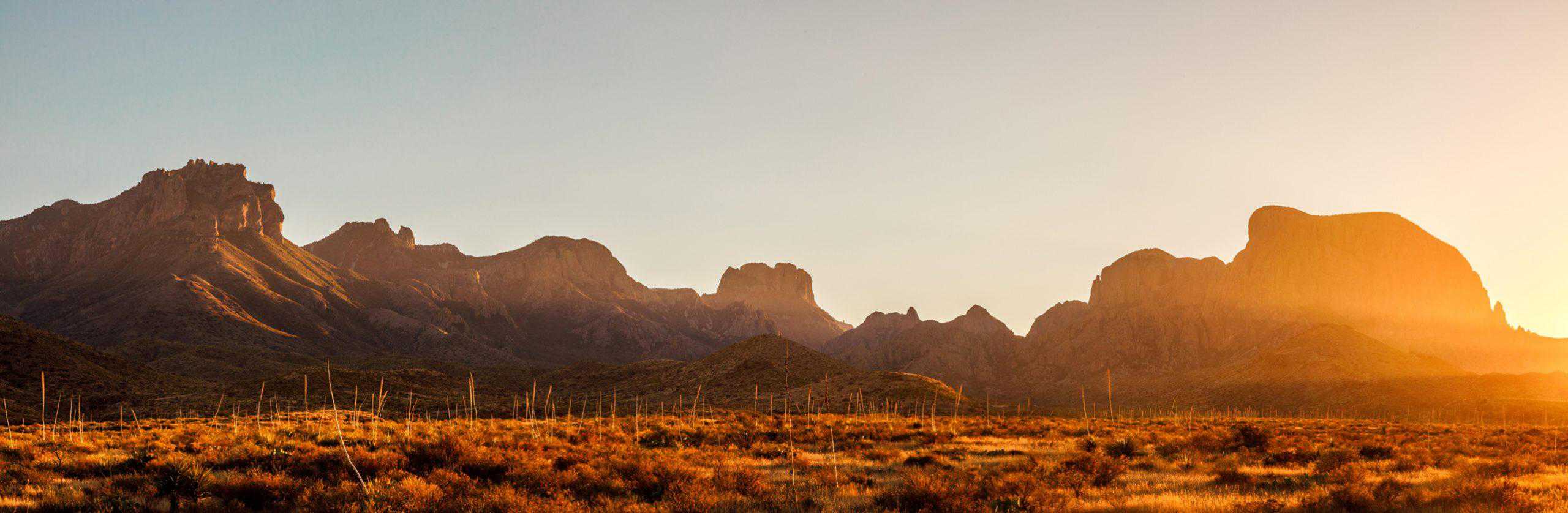
Sunset over a mountain oasis
photography by: Marcus Connolly
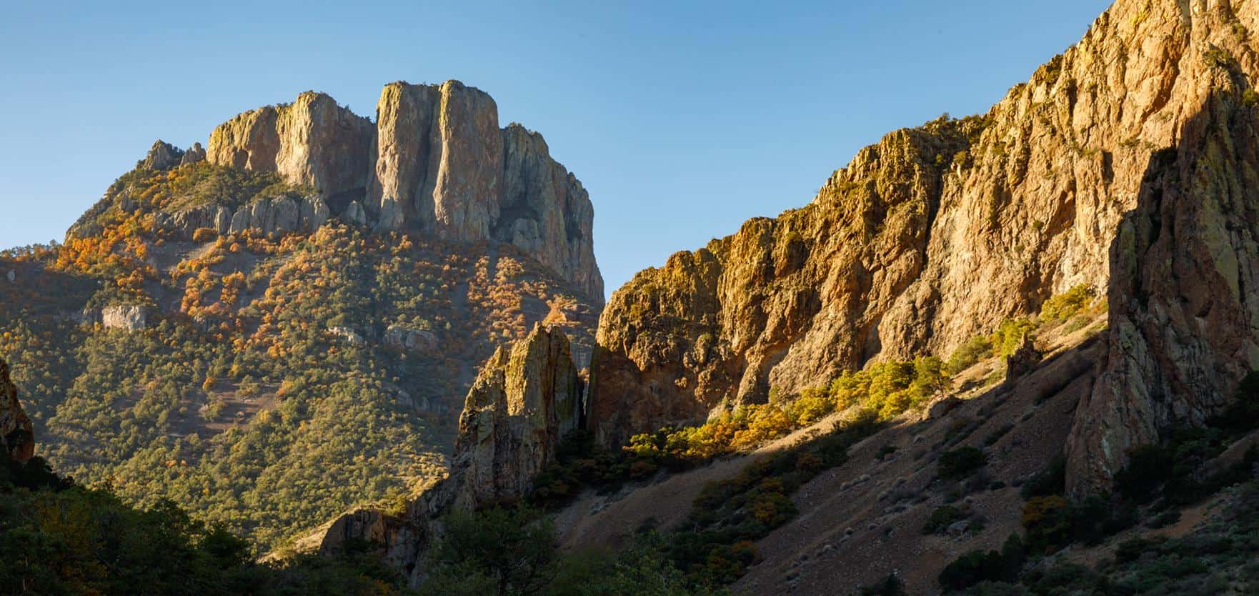
Morning sun in the Chisos Mountains
photography by: Marcus Connolly
Offering expansive views that stretch all the way into Mexico, the south rim is a popular spot for photographers and hikers who are willing to make the journey. Sheer cliff walls give way to high winds and sweeping vistas that gift visitors with views that stretch for miles in every direction. Accessible by any of the trails leading from the Chisos Basin, the south rim and its associated paths weave for over 12 miles and requires an all-day commitment from hikers or an overnight stay in one of the many back country campsites located throughout the park. With no running water or electricity, back country camping in Big Bend offers a peaceful alternative to the main campsites that tend to fill quickly during the peak seasons of fall, winter, and spring. Back country sites are scattered throughout the park, and in the lower elevations dirt roads split away from the main park road to remote pull-up campsites. These campsites provide the same isolation as other back country sites, and also the ability to bring your vehicle supplies an additional sense of comfort.
Haze blankets the lower elevations
photography by: Marcus Connolly
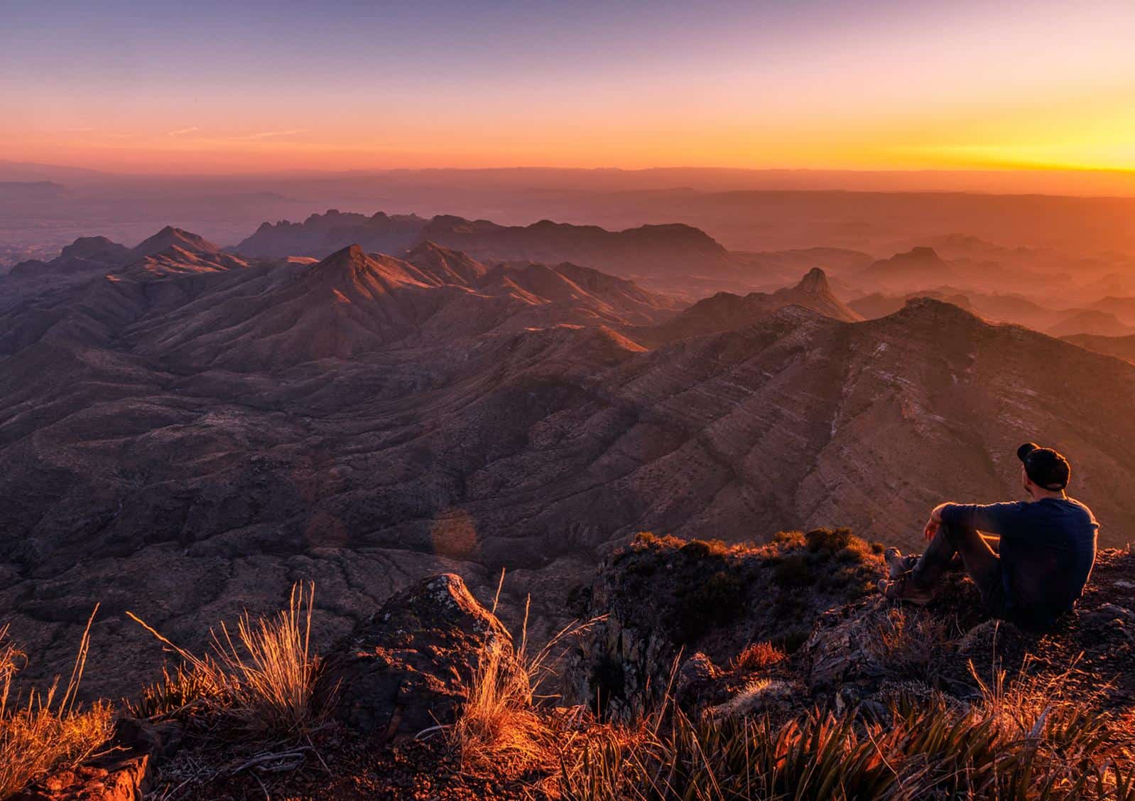
Looking out over a South Rim sunset
photography by: Marcus Connolly
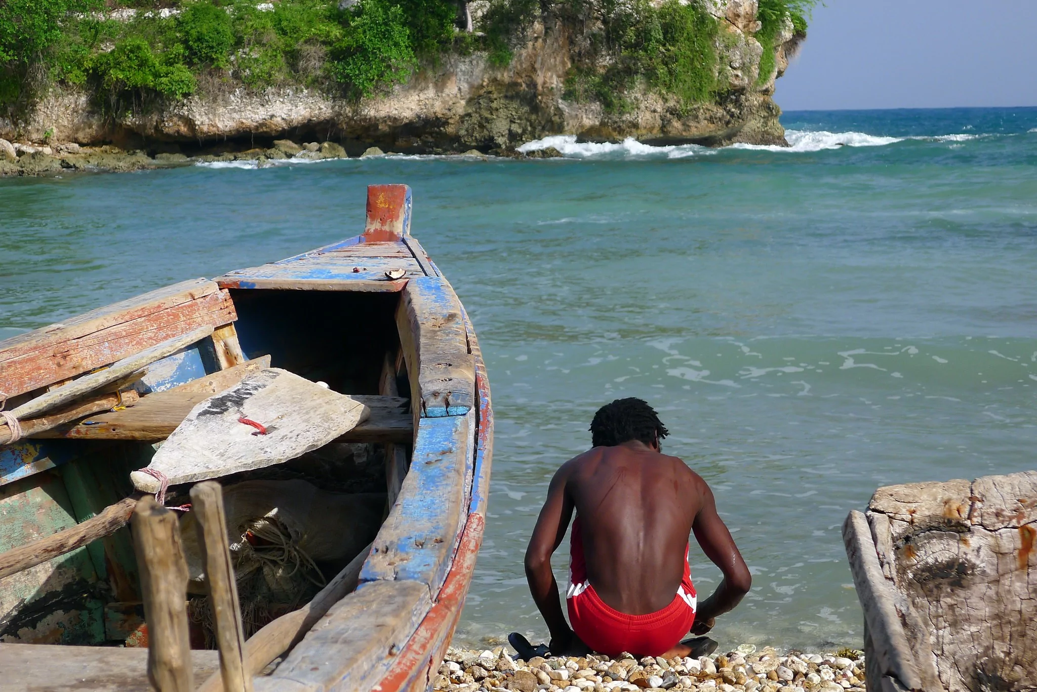
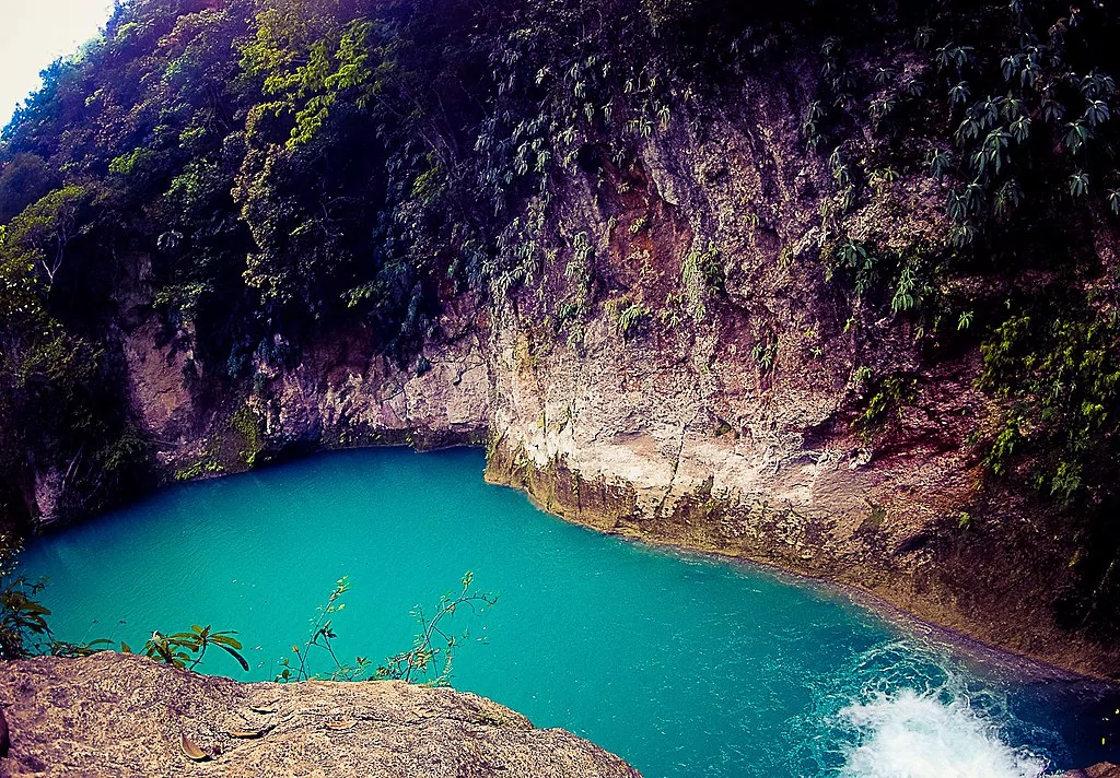
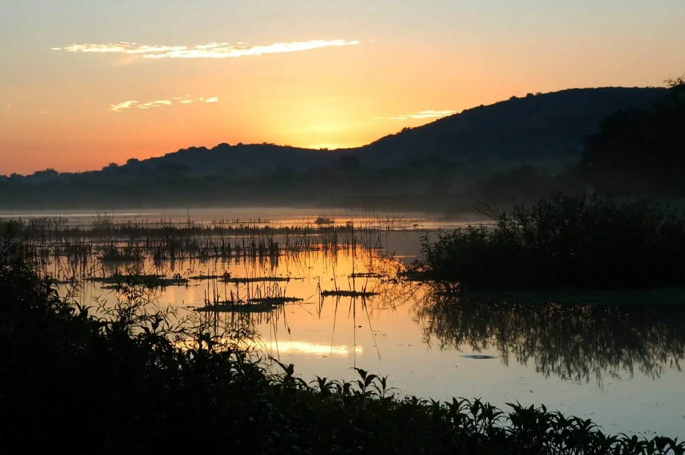
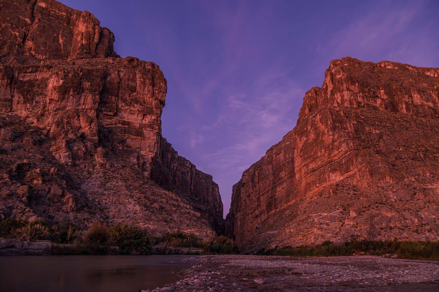
The southern boundary of Big Bend National Park is demarcated by the mighty Rio Grande river, flowing from its headwaters in Colorado to its final destination in the Gulf of Mexico, the Rio Grande serves as a natural border between the United States and Mexico for 118 miles along the parks edge. Life prospers along the Rio Grande, its banks engulfed with foliage and its sandy beaches criss-crossed with the hoof and paw prints of desert dwelling animals that rely on its flow. These sandy beaches often serve as launch points for visitors who wish to row down the Rio Grande by kayak or canoe, the gentle current taking them through canyons over a thousand feet high on a multi-day excursion along the parks edge. These canyons tower over the river below, and on the western side of the park is one of the most popular destinations for hikers and paddlers alike. Rising 1,500 ft above the river, Santa Elena Canyon is a geologic marvel, consisting of limestone layers that are millions of years in age and carved out by the endless flow of the Rio Grande, a river trip through Santa Elena Canyon is on the bucket list for many park visitors. Depending on the flow, a trip down the Rio Grande can present challenges that may be too much for the inexperienced rower. In the nearby town of Terlingua, outfitters and guides provide gear, shuttles, and guided river trips to ensure the safety and enjoyment of all who wish to experience the Rio Grande.
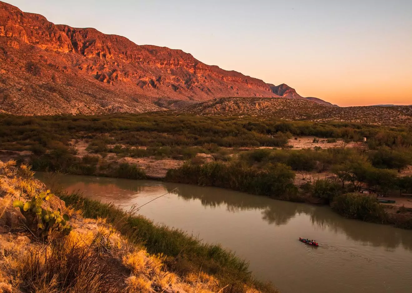
Paddlers traverse the Rio Grande under the shadow of the Sierra Del Carmen Mountains
photography by: Marcus Connolly
The days first light paints Santa Elena Canyon with pastel colors
photography by: Marcus Connolly
An old mining town, Terlingua is considered by many to be the best kept secret of the Big Bend region. Whether it’s cooling off with a beer after a long day of hiking, or spending the night in one of the incredible desert lodges, a trip into Terlingua is how many guests like to cap off a visit to Big Bend. With over 800,000 acres, hundreds of unique plants and animals and three distinct biomes, Big Bend National Park is a timeless land created by volcanic forces over millions of years. It’s enigmatic mountains, arid deserts, and lush river banks coalesce into a sense of admiration of the immense forces, both natural and human, that went into creating this incredible park. With a rich history that spans centuries, visiting Big Bend gives guests a glimpse into the wilderness that is the heart and soul of Texas.
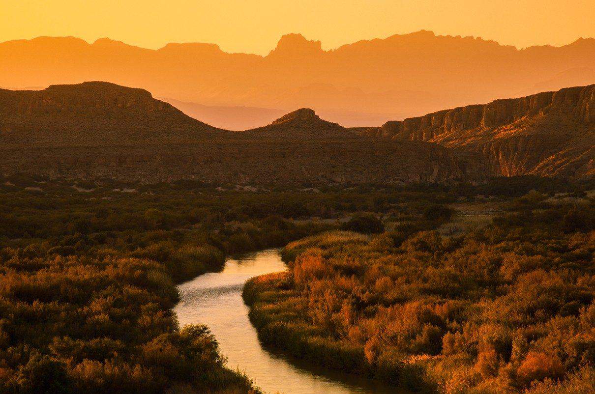
The Rio Grande weaves through the desert at sunset
photography by: Marcus Connolly
Born and raised in south Texas, Marcus Connolly became fascinated with the natural world at a young age. First picking up a camera in college, photography quickly took hold of him as he discovered his passion as a wildlife, landscape, and action photographer. Currently residing in his home town of San Antonio, Marcus is constantly chasing the light in the hope of capturing natures beauty. To see more of his work or to inquire about purchasing photo prints, you can find him on Instagram or alternatively contact him through email at [email protected].
photography by: Marcus Connolly