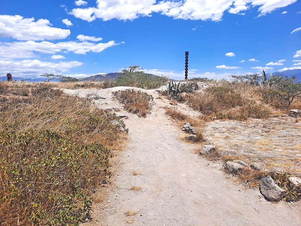
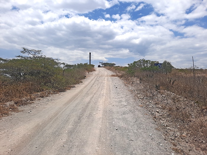
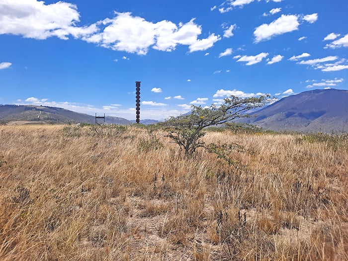
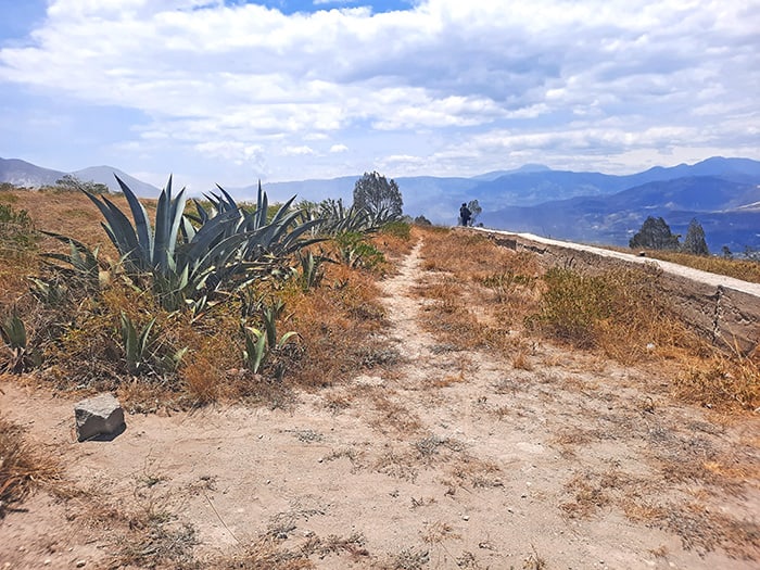
The dusty pathways across Cerro Catequilla, with its totem looming at the background
photography by: Omri Westmark

As its name implies, Ecuador is bisected by the equator that separates the Earth’s northern and southern hemispheres. While several sites throughout the country contend to be the exact location where the equator crosses, it is a rather secluded and unassuming hilltop that seems to be the actual spot. Steeped in mystery, Cerro Catequilla still evokes more questions than answers, offering its few visitors an unusual photo-op at the middle of the world as well as abundance of panoramic views.

By: Omri Westmark
Date: 10:26 09.03.24
Last Update: 10:26 09.03.24
In 1736, a group of astronomers and geographers embarked on a long journey from France to the territory of modern-day Ecuador, where they conducted a series of experiments to determine the exact location of the equator, known collectively as the French Geodesic Mission. Following multiple measurements, the scientific expedition came up with the purported whereabouts of the line.
More than two centuries later, a massive 30-meter-tall monument was erected on the same site where the mission took place (replacing an older memorial), commemorating its long list of scientific achievements. The aptly named Ciudad Mitad del Mundo (Middle of the World City) monument has since attracted tourists from all over the world, queuing to take photos along a demarcated line that divides the planet into two halves, or so they thought.
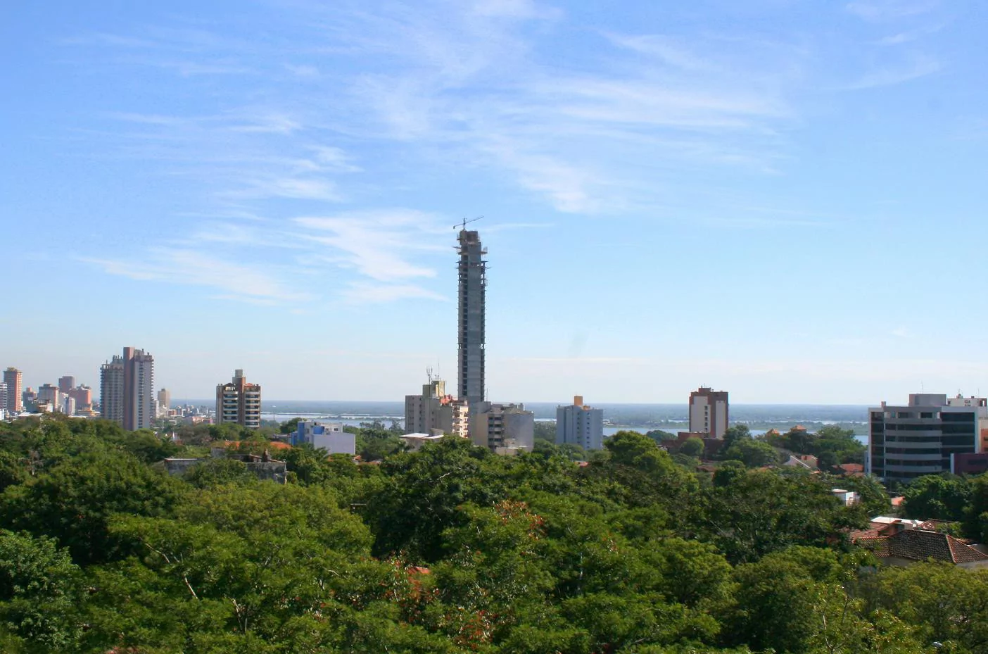
As soon as GPS technology became an integral part of our lives, it turned out that the equator passes about 240 meters north of the very same coordinates established by the mission. It was then discovered that the exact line happens to align with an ancient mysterious site that sits atop a nearby mountain, about 3 kilometer east of Ciudad Mitad del Mundo and 26 kilometers northeast of downtown Quito.
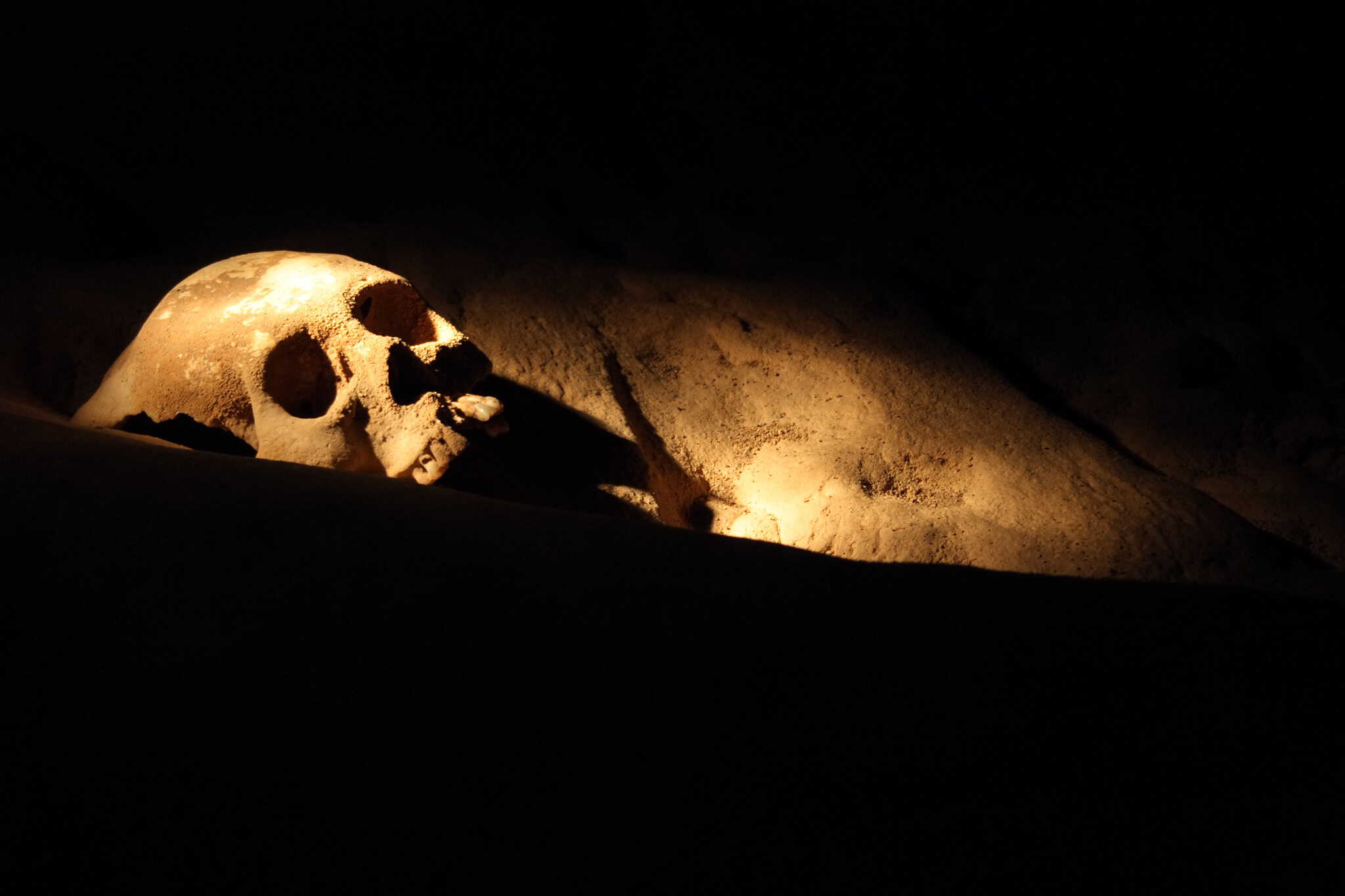
Towering 300 meters over the surrounding valley, Cerro Catequilla boasts a centuries-long history that dates back to as early as 800 A.D, when the region was inhabited by the pre-Inca Caranqui culture. Though only little is known about the place, unearthed artefacts and thirteen lithic discs suggest that it functioned as an astronomical observatory.
According to several scholars, it was here that frequent observations of celestial bodies yielded a couple of astounding revelations, notably pinpointing the exact timing of the June solstice. It is speculated that these breakthroughs were then applied for ceremonial and agricultural purposes, as various festivities were scheduled based on the movements of stars and planets.
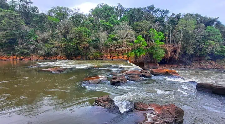
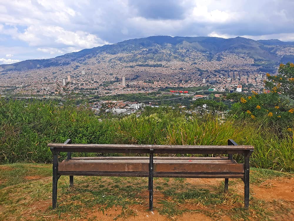
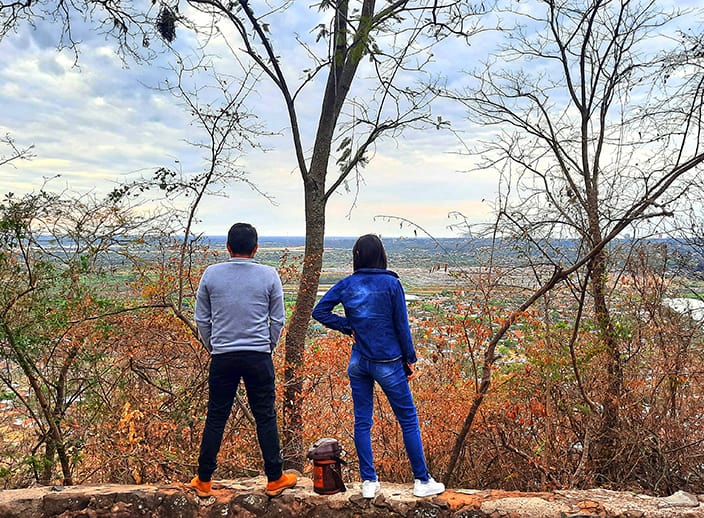
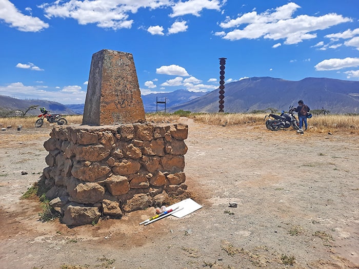
Despite encompassing the true center of the world, Cerro Catequilla receives a mere fraction of the number of tourists who visit its more famous counterpart to the west. In fact, plucky travelers who do come here will find a somewhat dreary complex whose significance far exceeds its physical appearance. Nevertheless, as a counterbalance, the precinct’s high elevation makes it a great vantage point of the entire area, including several Andean peaks and the nearby ruins of Pucará de Rumicucho.
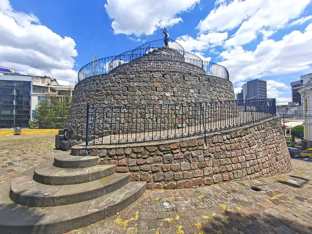
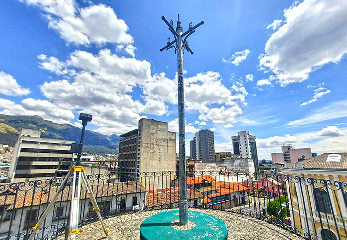
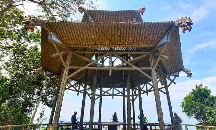
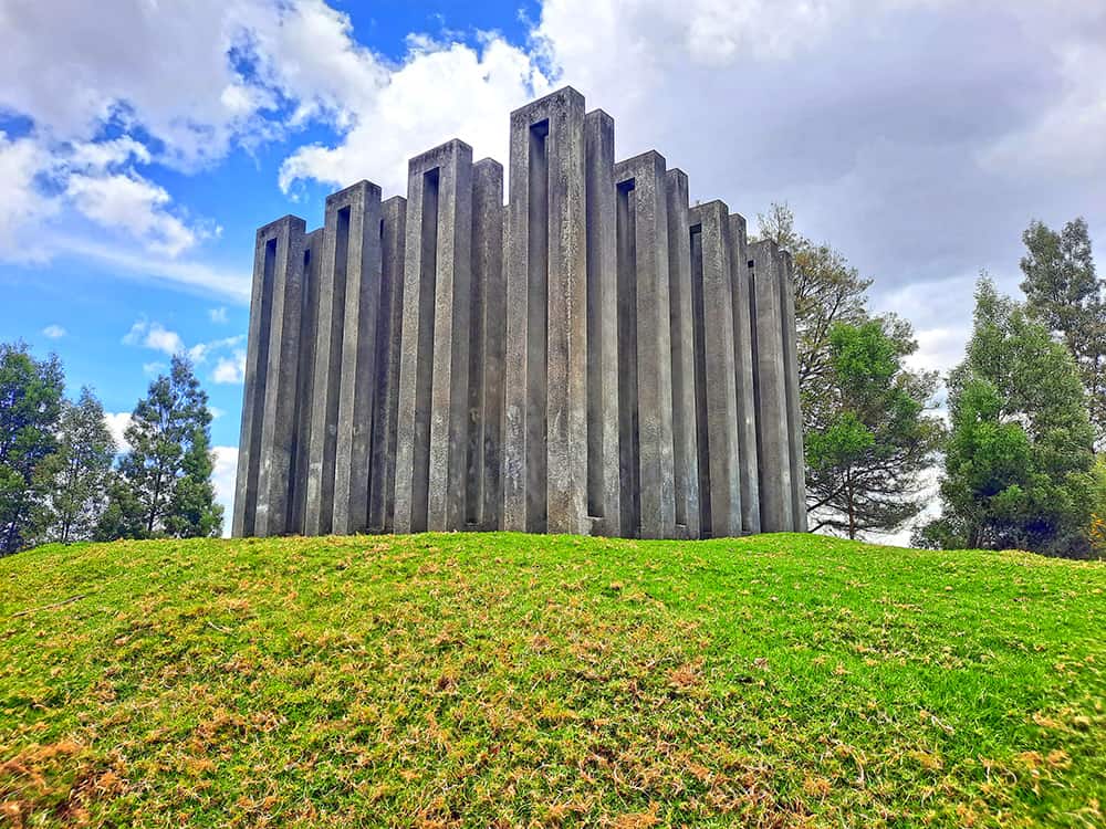
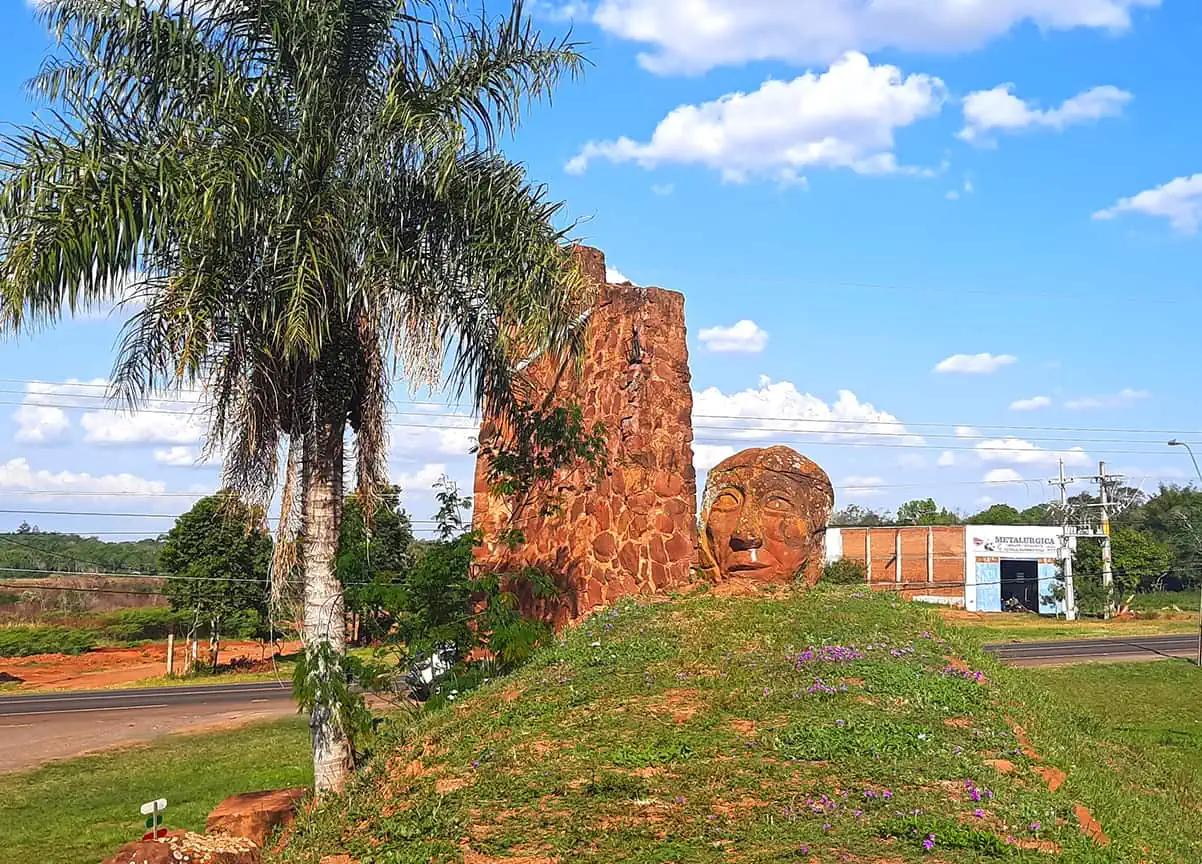
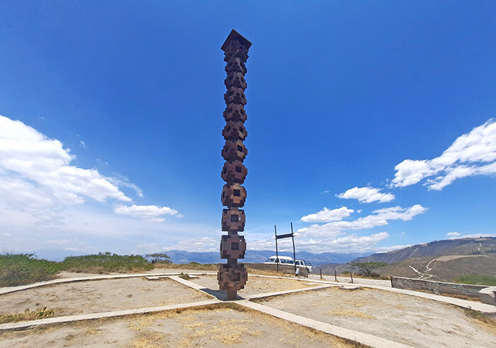
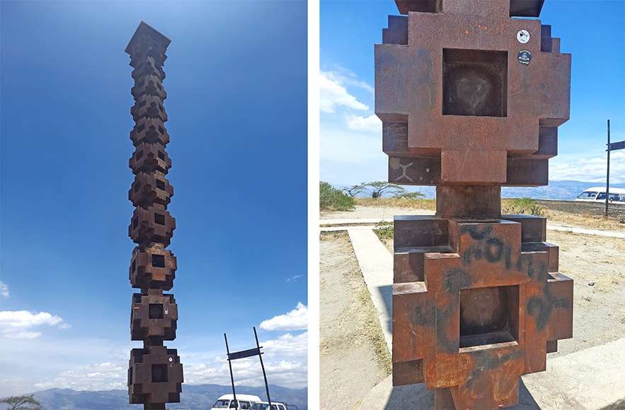
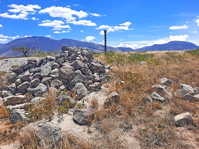
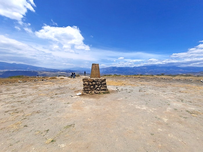
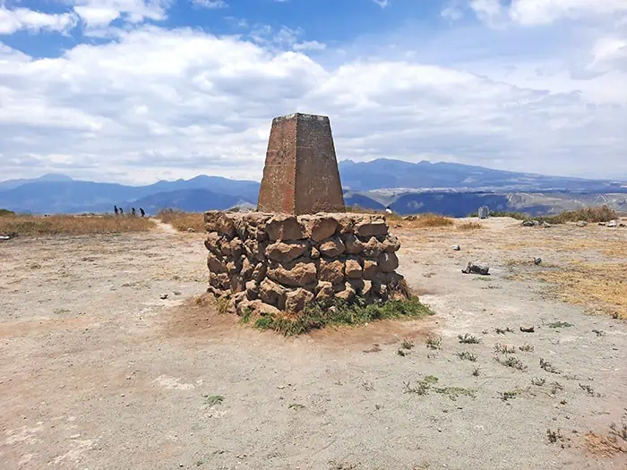
Across the site are a 6-meter-tall totem lying in the middle of a circular platform whose quadrantal layout reflects the four cardinal directions. However, it is an unpretentious marker a couple of meters northwards that accurately rests along the zero latitude.
In the absence of proper infrastructure, getting here is pretty challenging as only a handful of unpaved, pothole-ridden roads link the mountain with the town below. Be that as it may, regardless of its derelict state and inaccessibility, this sacred mountaintop serves as a testament to the resourcefulness of the region’s indigenous people, who managed to find the equator’s precise location long before the advent of any modern satellites or measuring equipment.
photography by: Omri Westmark
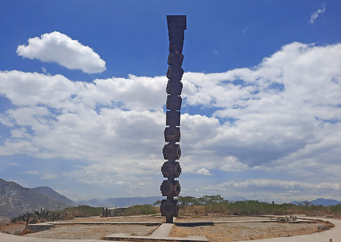
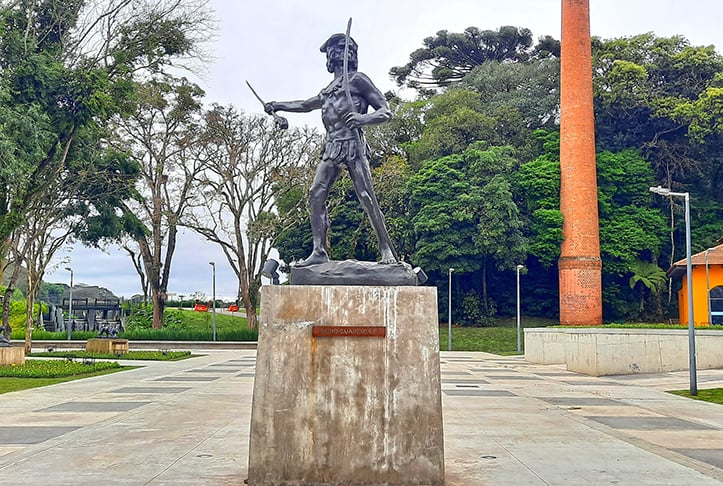
The site’s totem
photography by: Omri Westmark
photography by: Omri Westmark
photography by: Omri Westmark
photography by: Omri Westmark
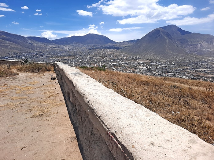
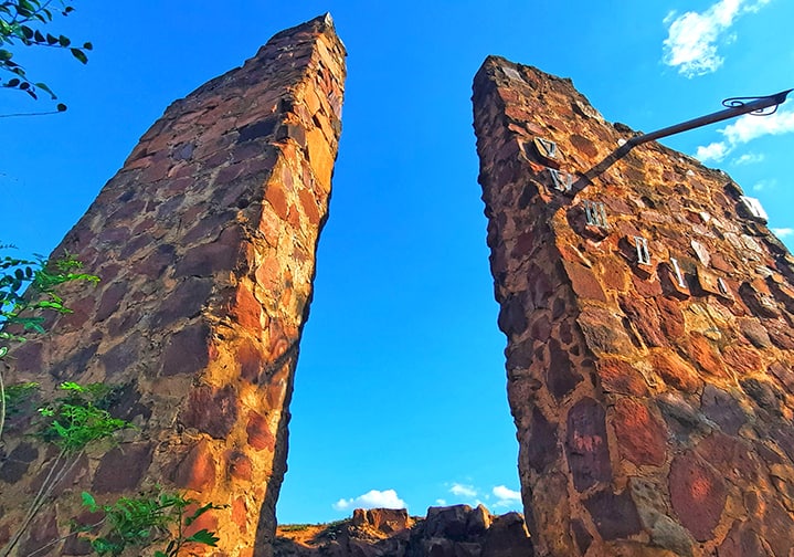
The hilltop’s perimeter wall
photography by: Omri Westmark
photography by: Omri Westmark
photography by: Omri Westmark
The marker along the equator
photography by: Omri Westmark
photography by: Omri Westmark
photography by: Omri Westmark