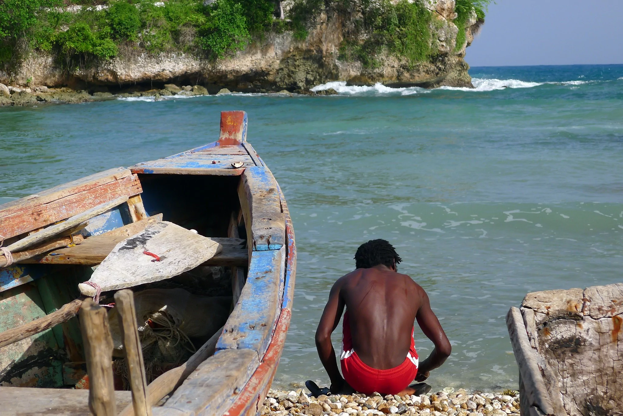
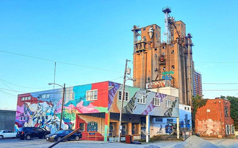
The poorest country in the western Hemisphere, the island nation of Haiti more commonly attracts headlines for all the wrong reasons, despite having an undisputed natural beauty. Whether it's the 2010 earthquake, the frequent hurricanes or the widespread poverty, Haiti constantly faces many challenges that make it the most non-conventional destination to visit across the Caribbean Sea. That being said, it's somewhat of an enigma. While poverty throughout the island nation is endemic, luxury cruise ships stop offshore and give visitors the chance to explore certain parts of the tropical paradise. If you look past the headlines and make an effort to see the real Haiti, you'll soon discover a country that is rich in history and culture and has some fascinating sites that are often all yours to explore, unspoiled by mass tourism and consumerism.

By: Florian Biernaux
Date: 22:54 10.06.21
Last Update: 14:04 30.07.21
Citadelle Laferrière is a massive fortress perched atop the Bonnet a L’Eveque mountain. The fort has enough living quarters, cisterns, and storage space to keep 5,000 soldiers alive for a year and was built by Haitians to protect their nation from advancing colonial forces.
When you approach the citadel, as it is called locally, you will see for yourself the immense structure and intricate design that make this out of the ordinary defensive castle. Looking upon the fortress, you would hate to be part of an approaching army tasked with breaching the impervious walls.
Unfortunately (or fortunately, depending on your viewpoint) for the Haitians, The Citadel was never fully realized as a defensive structure. It was designed to protect the newly liberated Haitian citizens from a possible return of the French army, but nothing ever came to fruition.
As such, the imposing building now serves only as a tourist attraction, having been listed as a national park and as a UNESCO World Heritage Site, with its 365 cannons still silent and its walls looming. Most visitors start their ascent to the citadel from the town of Milot, where it’s possible to rent a 4WD or horse to help take you to the top if you’re not keen on walking.
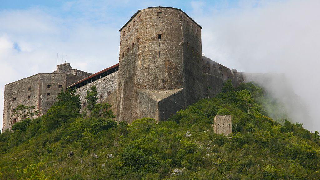
A frontal view of the citadel, engulfed by a fog
photography by: Alex Proimos
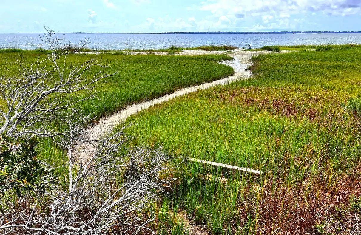
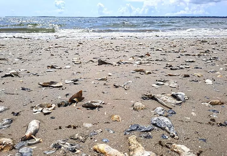
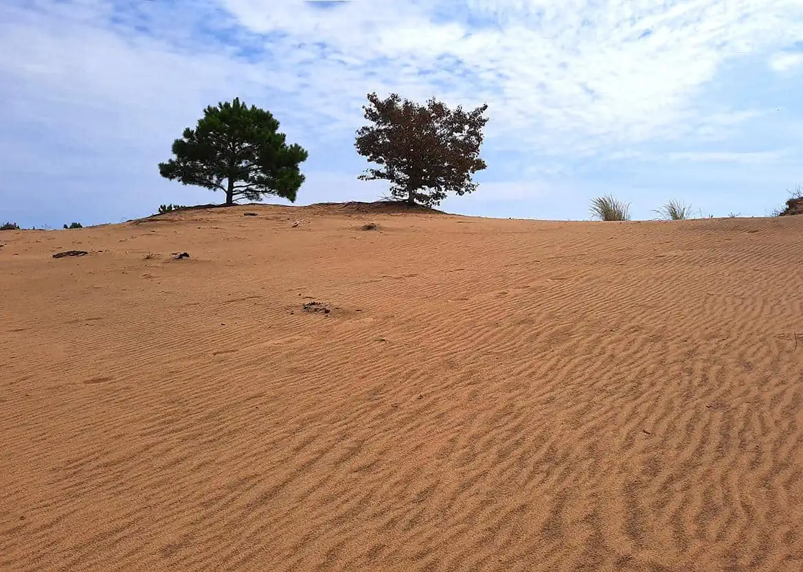
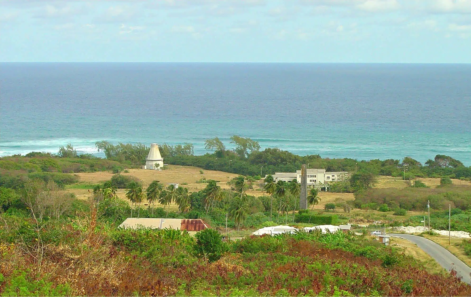
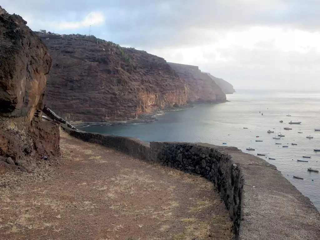
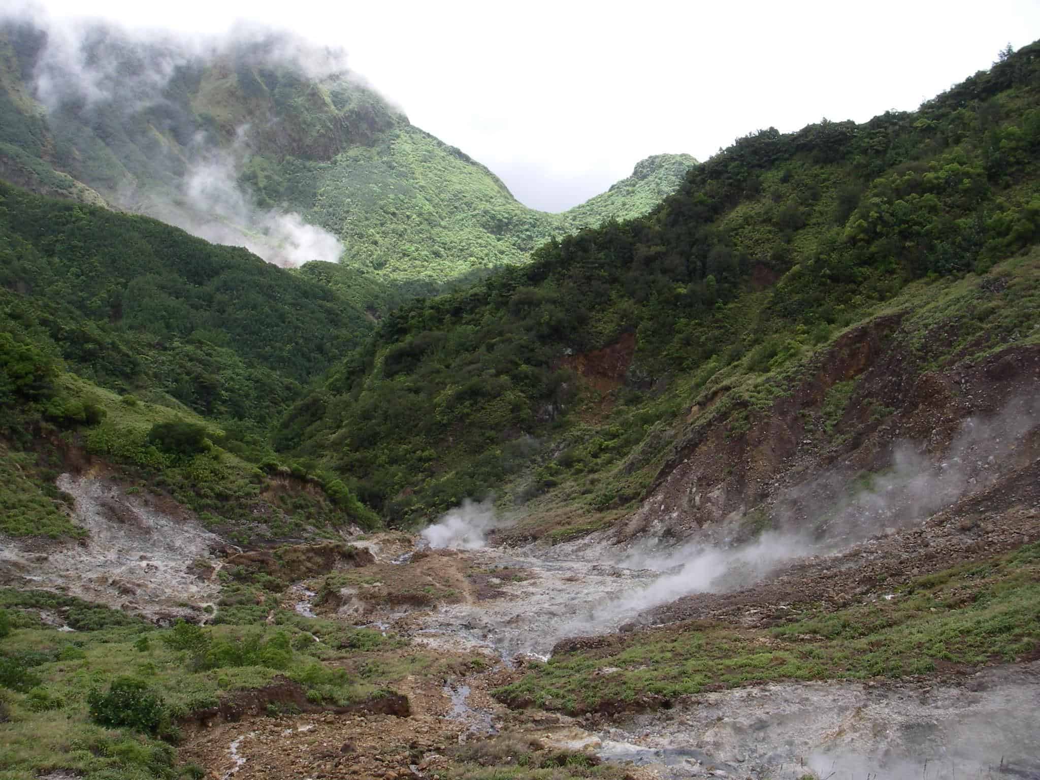
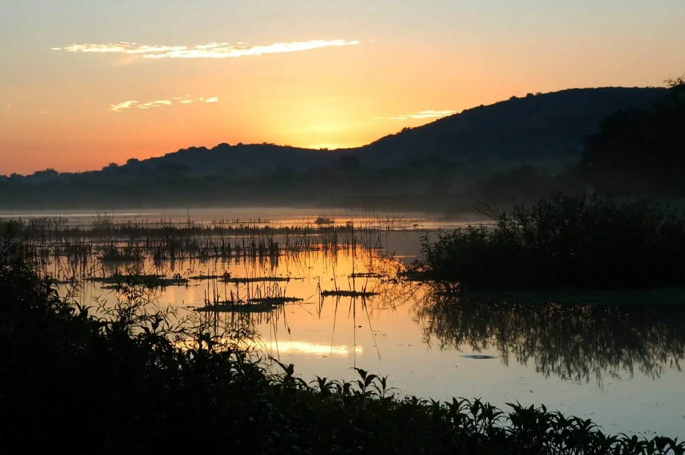
Anse-Rouge was once regarded as Haiti’s paradise. However, a drastic change in climate over the years has led to its desertification and has changed the pristine landscape considerably.
Located in northwestern Haiti, the most distinguishable feature of present-day Anse-Rouge is the fact that its central coast is surrounded by salt marshes that are commonly visited by those that make it to the region.
The town received many new residents following the devastating earthquake that so severely affected Port-au-Prince in 2010. The burgeoning population has led to an expanse in the provision of local services. But expect to wander down dusty streets served by donkey-drawn carts. There’s little here in the way of modern infrastructural development.
The best way to travel to Anse-Rouge is via bus. It is just 54km northwest of the city of Gonaives, which can be reached daily by services from the capital city.

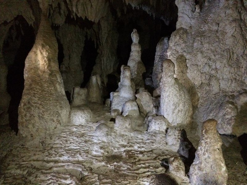
The Marie-Jeanne cave complex is the most extensive cave system in Haiti, with galleries extending 4km below the surface. The caves are located a short walk above Port-a-Piment, and entrance to the system is only possible after connecting with a local guide (see this Bradt Guide for more information).
The moment you gain access to the caves, you will be free to wander around the subterranean system at your own pace. You can use the helpful information board at the entrance to the site, but be sure to bring your light torch with you.
After descending into the cave network via a metal staircase, you are free to explore the remarkable formations in front of you until you reach a small reflecting pool at the cave’s mouth. While it’s possible to proceed further ahead, most visitors choose to make their way back to the surface as there are no exceptionally interesting spots to see beyond that point.
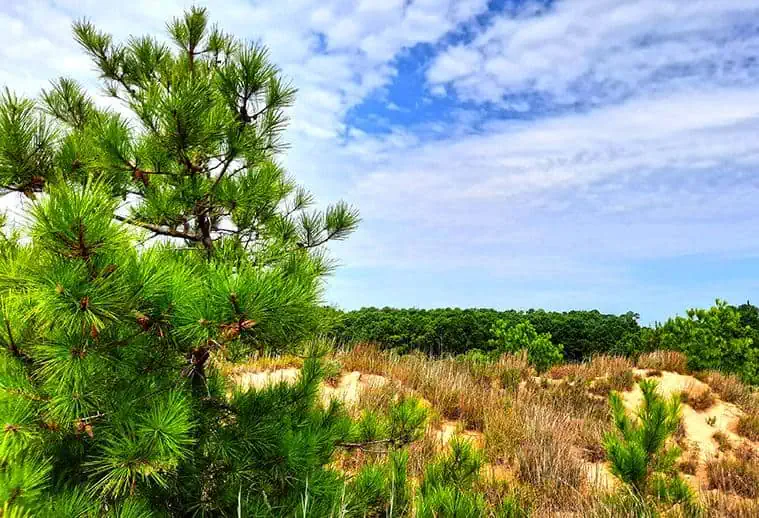
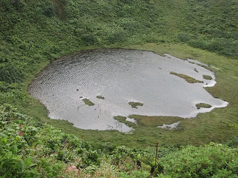
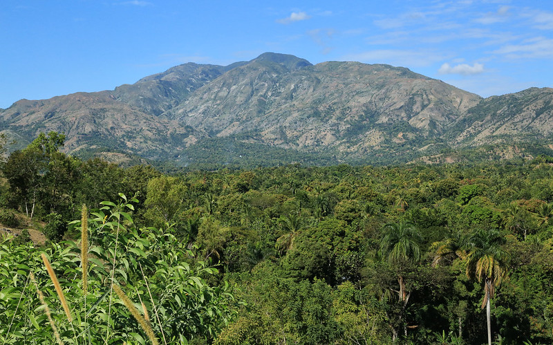
Standing at 2,347 meters above sea level, Pic Macaya is the second-tallest mountain in Haiti. It’s also the center point of the Pic Macaya National Park, one of only two designated areas in the whole country.
The national park currently preserves the country’s sole water forest and serves as a refuge for countless native plant and animal species, most notably 54 endemic types of reptiles and amphibians, which makes it the world’s most biodiverse place for that animal class.
Perhaps one of the forest’s most famous dwellers is Mozart’s Frog, a species of frog that just until recently was believed to be extinct. The frog is named after the glorious composer because when its discoverer, Blair Hedges, recorded a spectrogram of its croak, it happened to visually resemble musical notes.
Pic Macaya and its surroundings are served by several well-trodden paths, passing through rural Haitian villages before snaking through the park’s protected area. Within the park are cascading waterfalls, mind-boggling tropical panoramas and spectacular views down to the coastal waters below. Guided trips to Pic Macaya National Park can be arranged from the capital Port-au-Prince, and it’s definitely advisable for first time visitors who aren’t familiar with park.
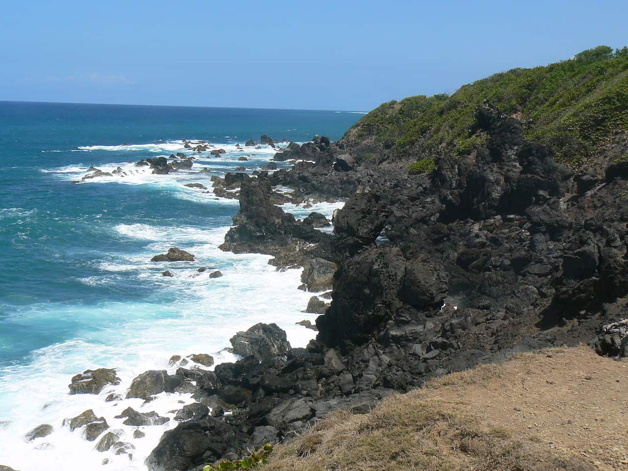
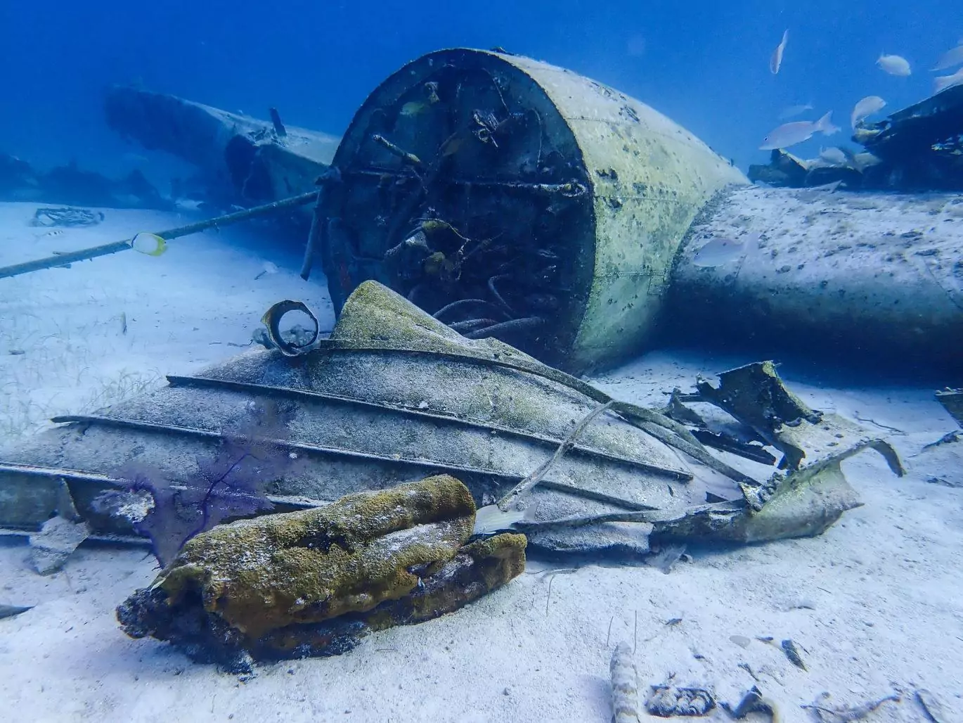
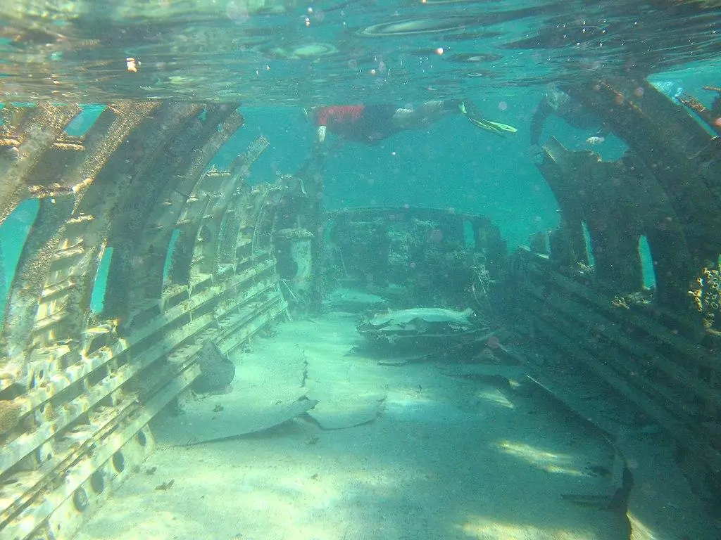
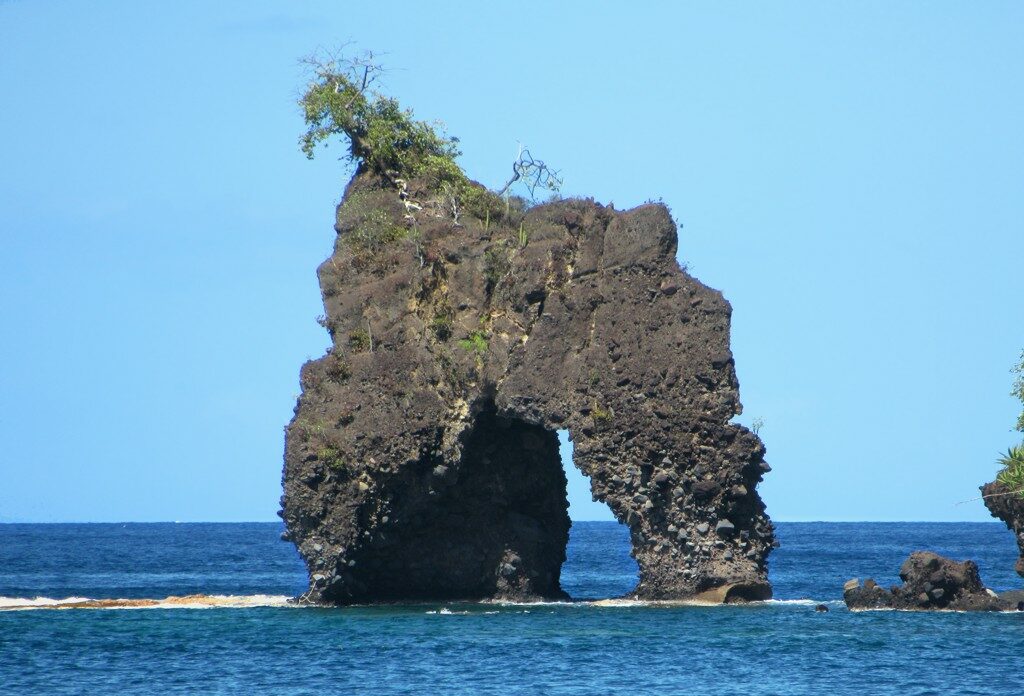
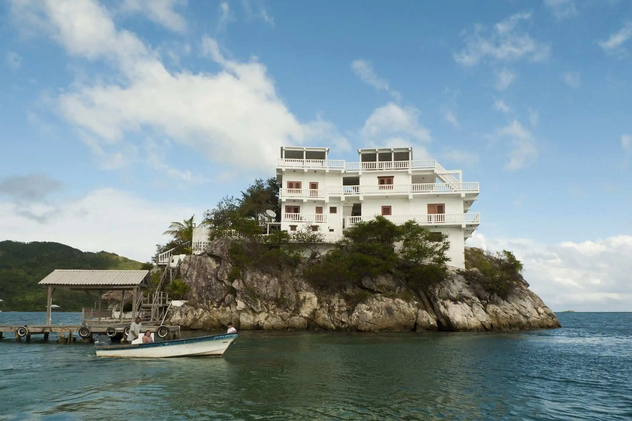
This is undoubtedly one of the most iconic and impressive cultural sites to visit in Haiti. The ruins of this 300-year-old French-built fort are now overgrown as nature has since reclaimed the site, but it makes it all the more alluring.
The only way to get here is via boat from the nearby Fort de Olivier that is located on the nearby peninsula of Saint Lous du Sud. Fort de Olivier itself is well worth a visit. It was built in 1702 by the French occupiers to defend Haiti from its colonial competitors.
The first thing you will see as you reach Fort Saint-Louis from Olivier is the massive shipwreck that lies just off the coast. Disembarking on the shore, you can weave your way through the remarkably well-preserved ruins.
Visitors can wander through the various chambers of the fort, and the views out to the coast give one a true sense of what it must have been like waiting for invading forces from the sea. Although it’s a highly significant Haitian relic, its offshore location makes it difficult to reach.
For any intrepid explorer that makes it here, you’ll most likely have the fort all to yourself.

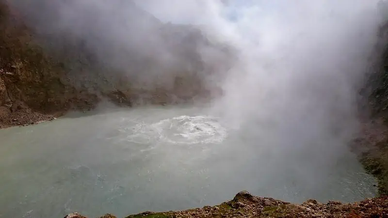
12km northwest of Jacmel, Bassin Bleu is a collection of three crystal-clear blue pools linked by 7 waterfalls. The result? The best swimming destination in the entire country, eclipsing even some of its renowned beaches.
Of the three pools found here, Bassin Clair is the most impressive, although it will take you the longest to reach, as it’s deep into the mountain at the foot of the waterfall.
When you’re in Jacmel, you can negotiate with a local moto-taxi to take you to the path that leads down to the waterfalls. It’s best to visit the pools in the dry season, as heavy rains can often discolor the pools and make swimming much less enjoyable.
Interestingly, local legend dictates that nymphs live in the caves that surround the pools, speculating that the nymphs interfere with swimmers seeking to discover the true depths of the pools. Suffice to say that it’s warmly advisable not to physically check the validity of this fable.
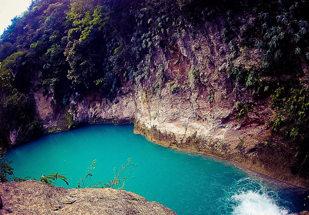
One of Bassin Bleu's turquoise water pools
photography by: HOPE Art
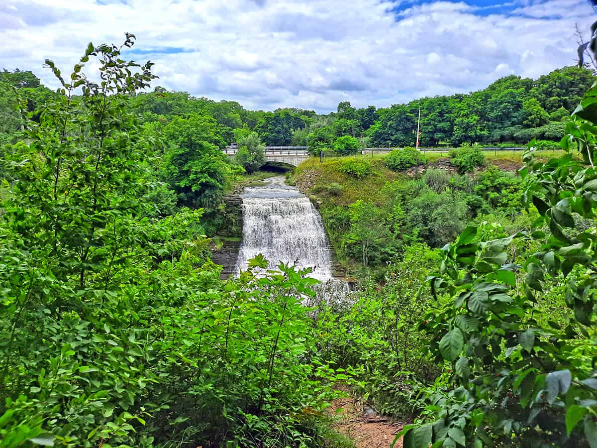
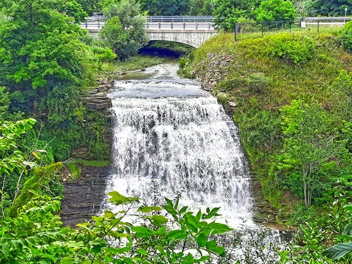
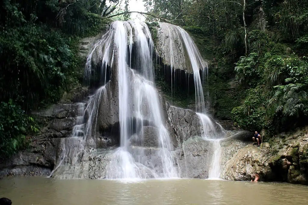
Although the waterfalls that form the basin bleu pools are intricate, the Saut-Mathurine waterfall is the largest in the whole of Haiti. Not far from Camp Perrin in the western part of the country, the waterfall is popular with day-trippers hoping to enjoy the peace and tranquility of the surrounding areas.
Accessible by a stone-covered staircase that descends through the lush forest, the waterfall constantly refills a shallow pool, providing a refreshing respite from the scorching Haitian sun. Additionally, the rock formations at the top of the waterfall serve as diving boards for more adventurous visitors who bravely plunge into the clear waters below.
Take note that Haiti uses hydroelectric power to serve its population, in fact, a dam and a small reservoir are located further upstream that in turn might occasionally drain or disrupt the flow of the waterfall. Hence, it’s best to check with locals before traveling to save disappointment on arrival.
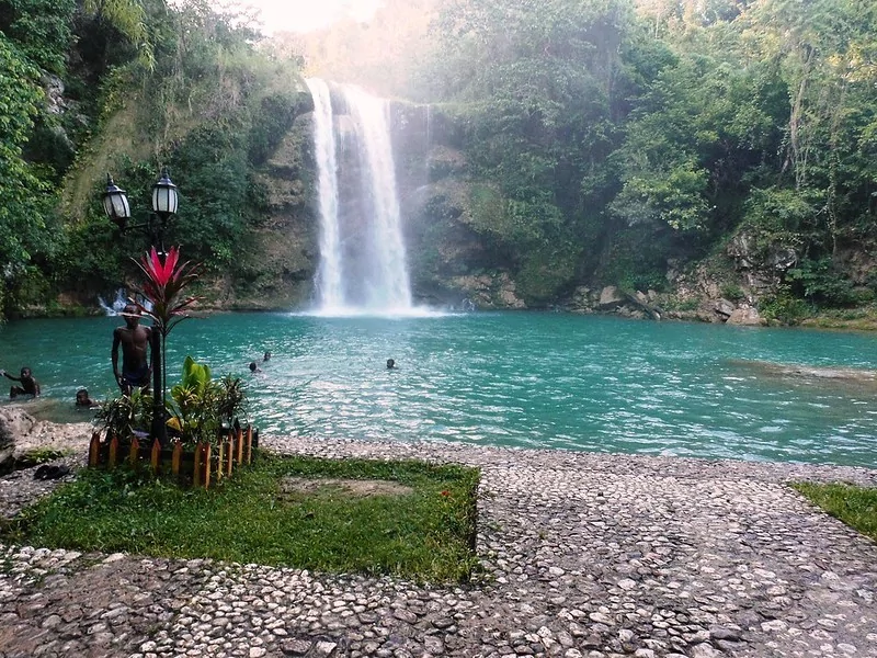
Saut-Mathurine waterfall at its fullest glory
photography by: Hispaniola News