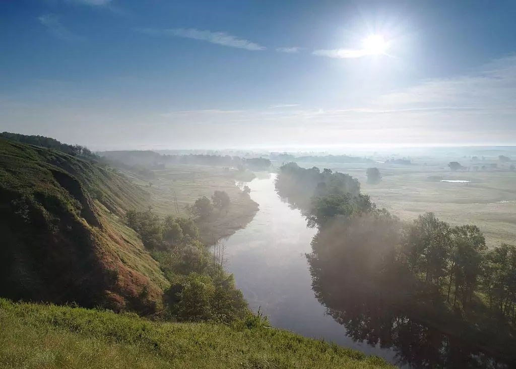
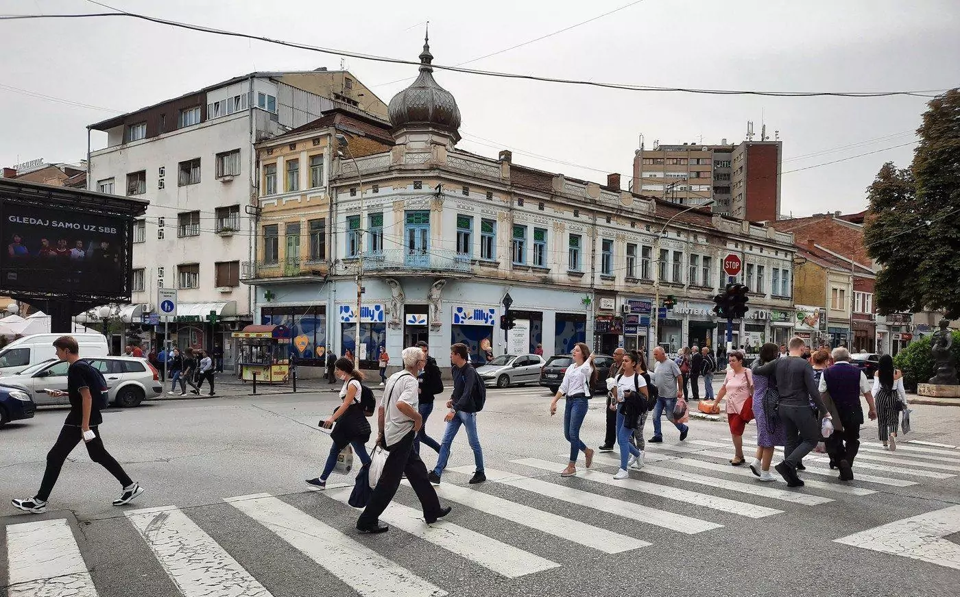
Located along the Danube River, roughly 45 kilometers downstream from Belgrade, Smederevo is Serbia's former capital, the last city to serve as such before the nation fell completely into the hands of the Ottomans during the mid-15th century. While modern-day Smederevo is far cry from its once political and cultural significance, it's still a pleasant and intriguing mid-sized city to explore, most renowned for its medieval fortress, the largest lowland fortress in Europe.

By: Omri Westmark
Date: 00:17 02.08.21
Last Update: 15:10 09.07.22
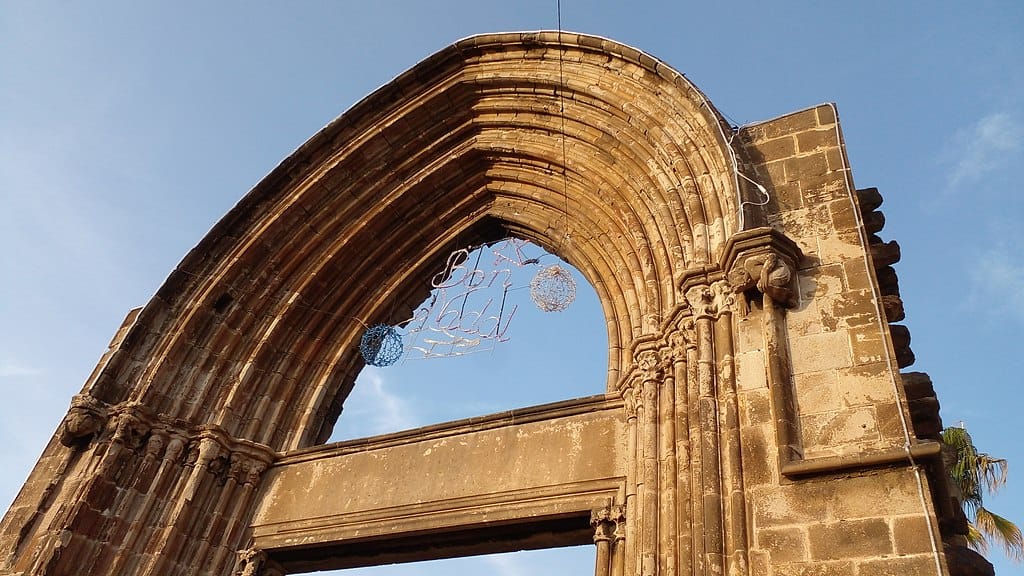
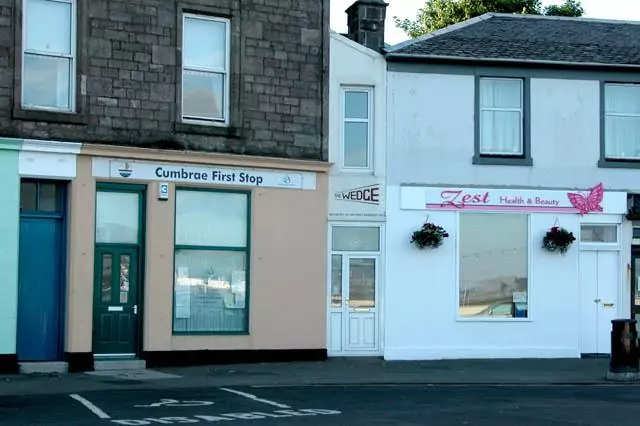
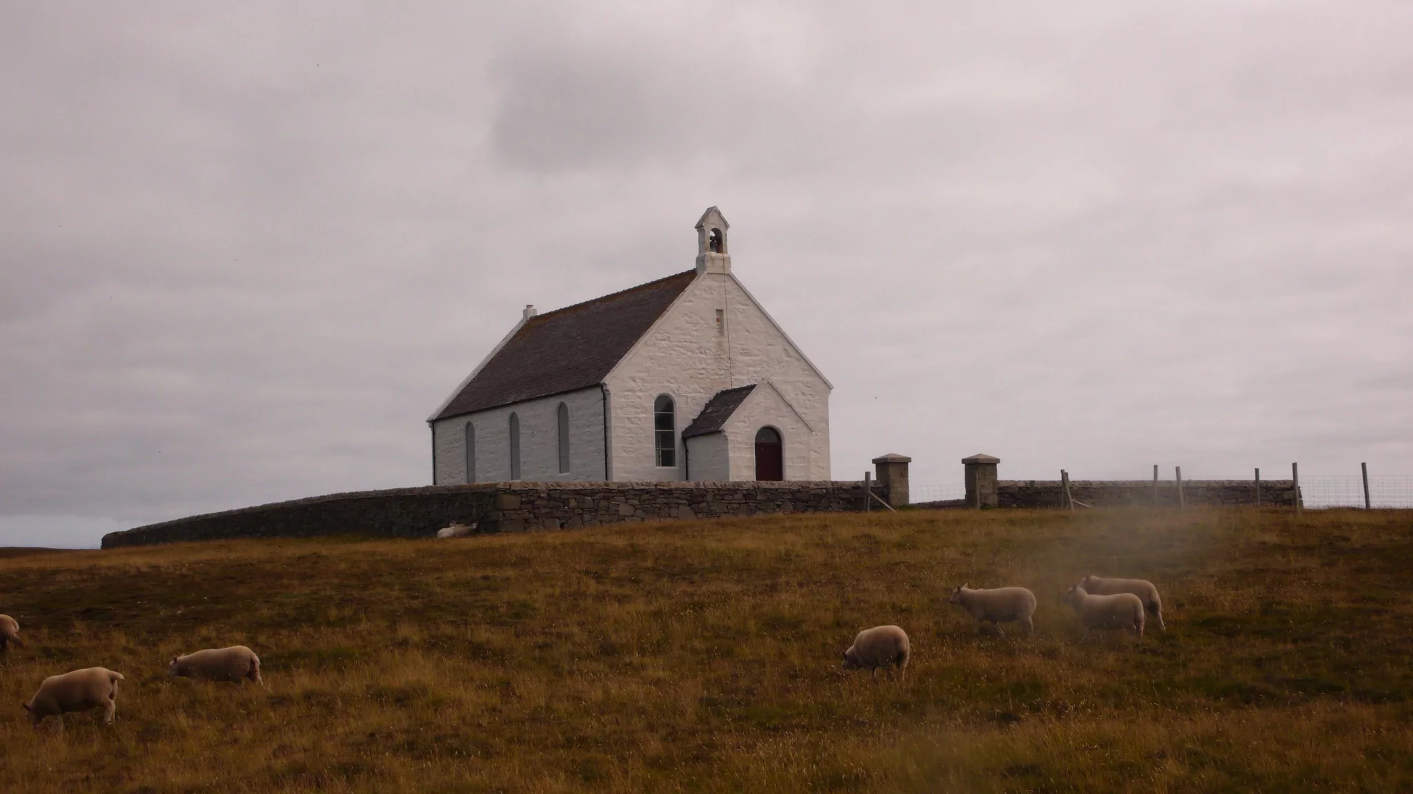
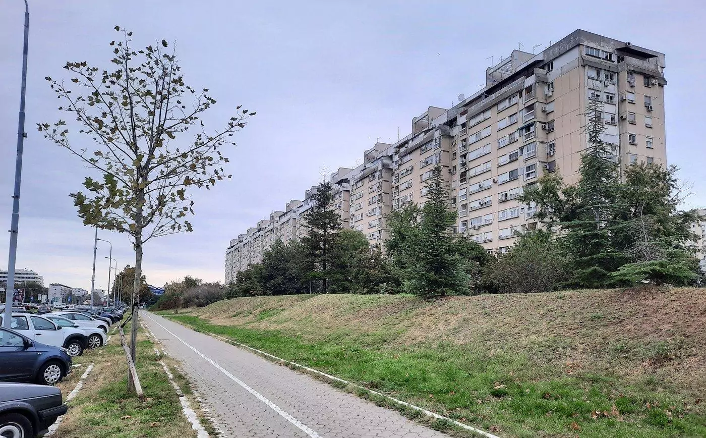
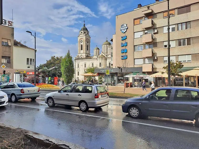
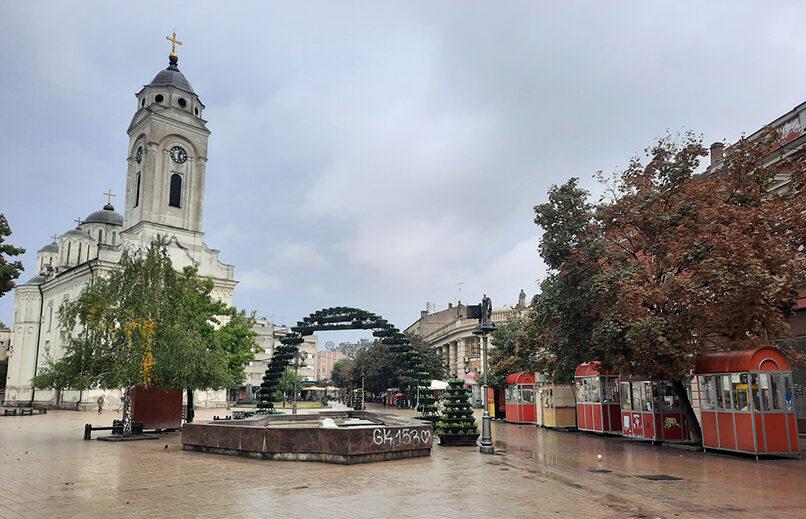
Much of Smederevo is dominated by newly built soviet-style housing, as its old parts were either destroyed during both world wars or demolished to make room for new buildings afterwards. Nevertheless, some historic buildings still survived to these days, one of which is the city’s iconic Church of Saint George, looming across the nearby mundane buildings.
photography by: Omri Westmark
Built in 1854, the church is modeled after the famous Manasija monastery, a 15th century religious complex in the Serbian heartland. The white marble church is topped by five domes and a tall bell-tower, nestled on Smederevo’s main square, between Trg republike and Vuka Karadžića. The urban plaza is often brimming with activity, whether it’s vendors who sell fresh produce or street performers seeking for extra income from passersby.
photography by: Omri Westmark
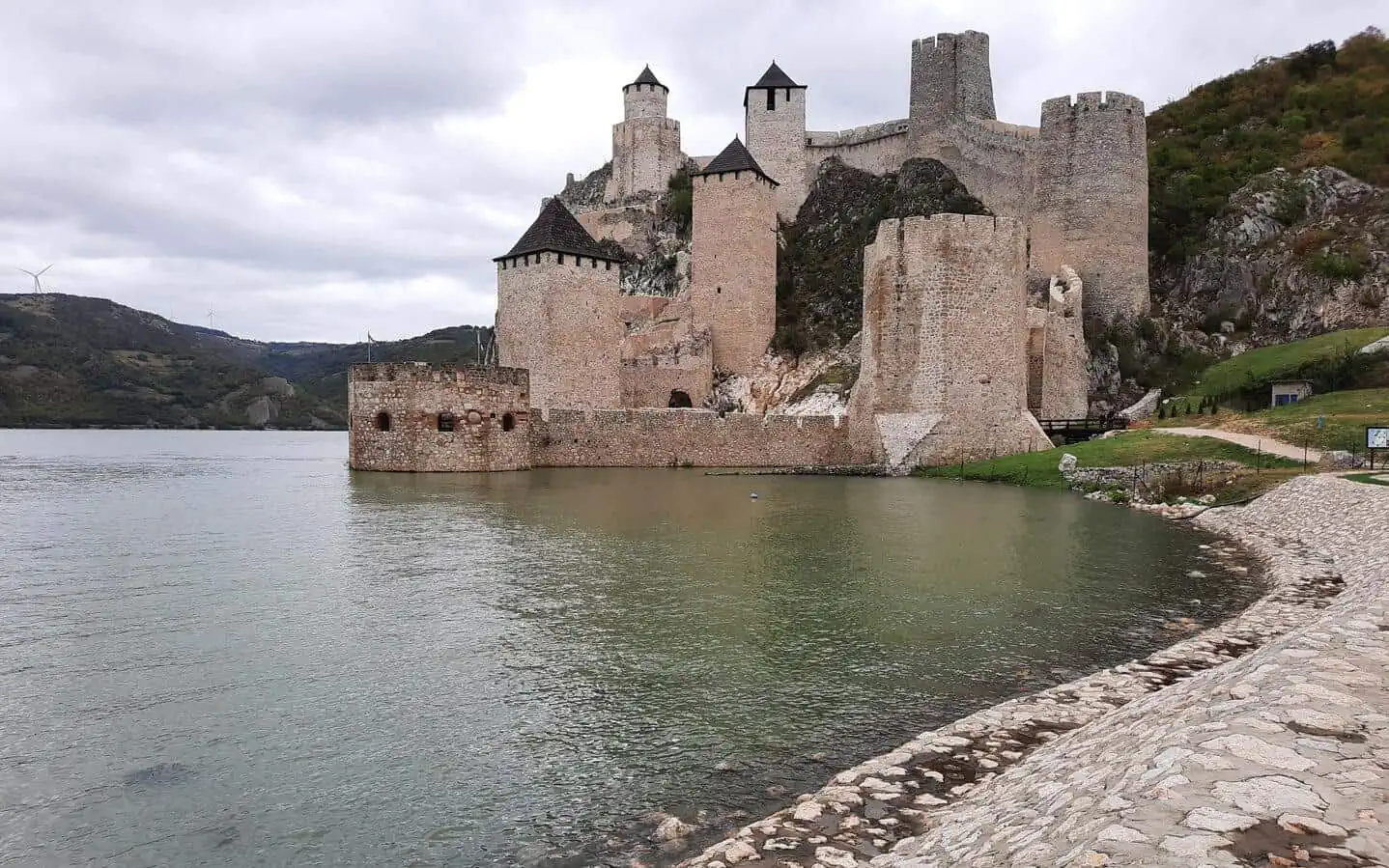
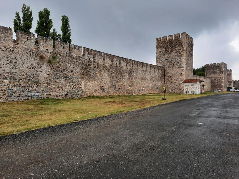
Sitting along the Danube River, Smederevo Fortress is by far the city’s most famous landmark. The triangular medieval complex consists of a walled town and a fortified manor.
photography by: Omri Westmark
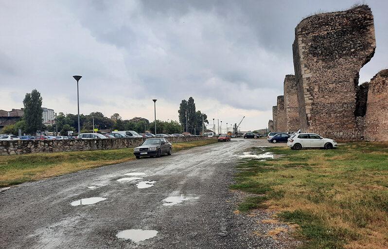
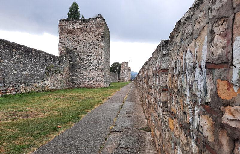
Unlike what one would expect from a site of its magnitude, the fortress and especially its immediate surroundings are rather neglected, lacking any proper infrastructure with overly spacious and pothole-ridden road running along the eastern part of the walls.
photography by: Omri Westmark
The main entrance to the walled complex is through the city’s main train station that happens to be in front of the fortress. Take note that in order to reach the entrance you’ll have to cross several railways, therefore caution is needed.
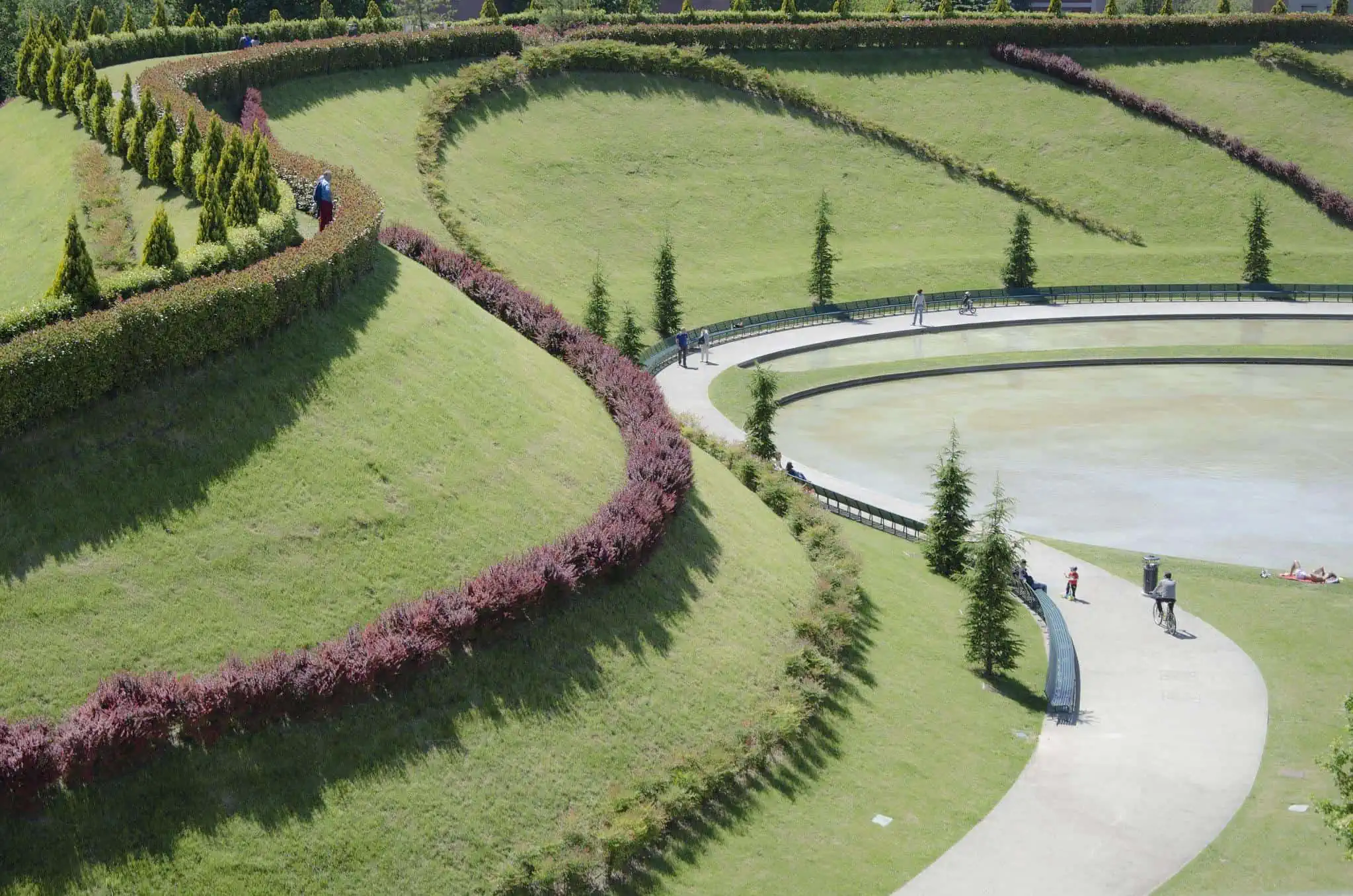
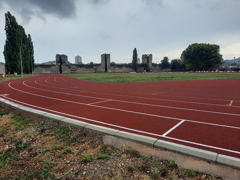
The first thing you’ll see upon entering the site is the large running field that is used for both routine exercising and sporting events.
photography by: Omri Westmark
Following the loss of Belgrade to the Hungarians in 1426, the then ruler of Serbia, Despot Đurađ Branković, established a new capital city on uninhabited plot of land, at the confluence of the Danube and Jezava rivers.
The newly built capital was centered around a massive fortress with an adjacent fortified town. Its triangular shape derives directly from its surroundings, as it was diagonally flanked by the two rivers that provided additional protection.
photography by: Omri Westmark
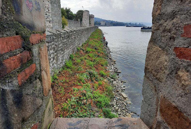
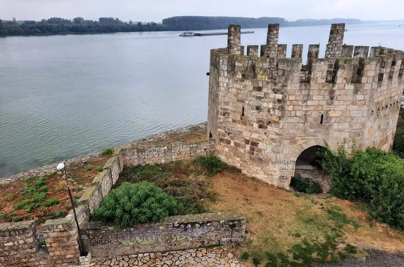
The Danube River as it seen from the fort’s embrasures.
In 1459, following two unsuccessful attempts, the Turks finally managed to conquer the fortress and the entire city of Smederevo, essentially annexing Serbia into the Ottoman Empire. It would take more than four centuries for Serbia to regain its independence, making the fortress a painful historic benchmark for this Slavic nation.
photography by: Omri Westmark
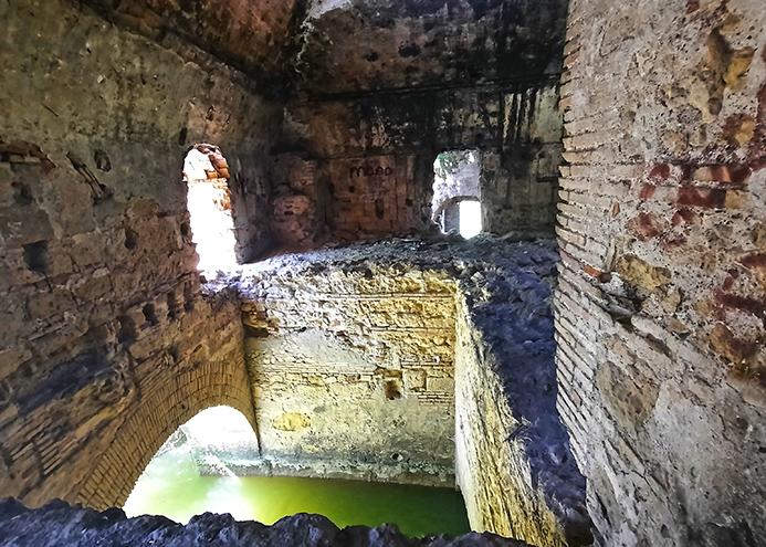
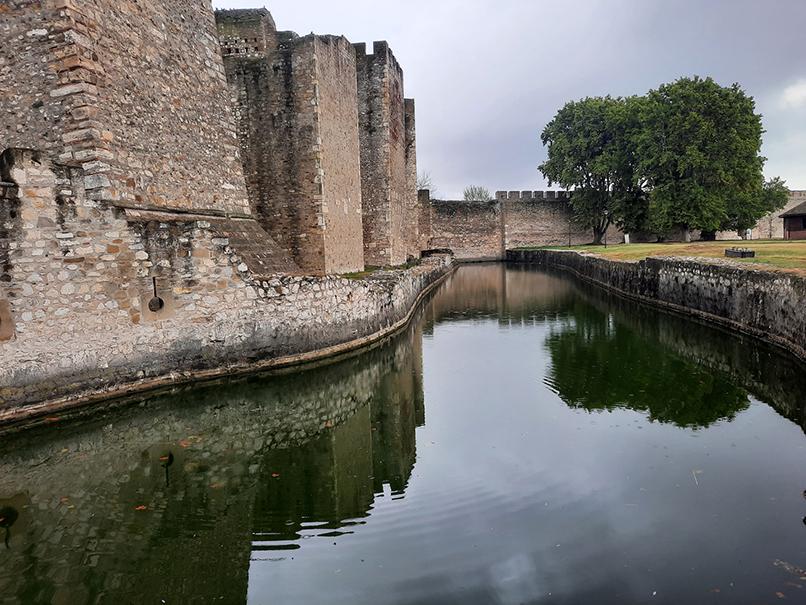
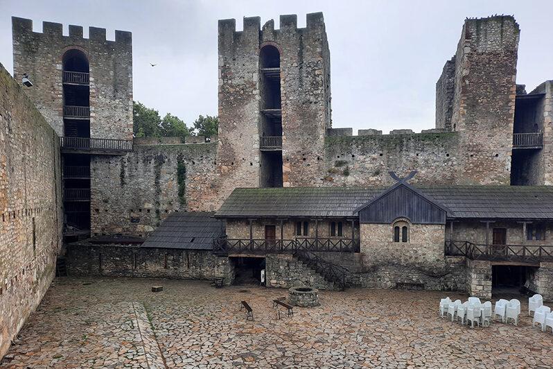
As dramatically as it might sound, the fortified manor, within the fortress, served as the last seat of a Serbian sovereign ruler prior to the Ottoman conquest of the country. A wide moat provided an additional layer of protection to the already formidable citadel, separating it from the rest of the walled suburb.
While strolling in and around the large and spacious medieval town is free of charge, the entrance to the fortified manor is possible only after paying the modestly priced admission fee.
photography by: Omri Westmark
The manor’s triangular courtyard, guarded by four towers, one of which still bears an inscription in honor of Đurađ Branković, medieval Serbia’s last ruler and the founder of Smederevo. Nestled in front of the main rampart and its four towers is the Donjon Tower (a keep) that faces directly towards the Danube River.
It’s utterly true that the well-preserved courtyard is quite touristy, nevertheless, the restoration works didn’t overly beautify it to a postcard level. As such, the medieval plaza is visually authentic, while its semi-ruined fortification offers visitors a glance into its turbulent past.
photography by: Omri Westmark
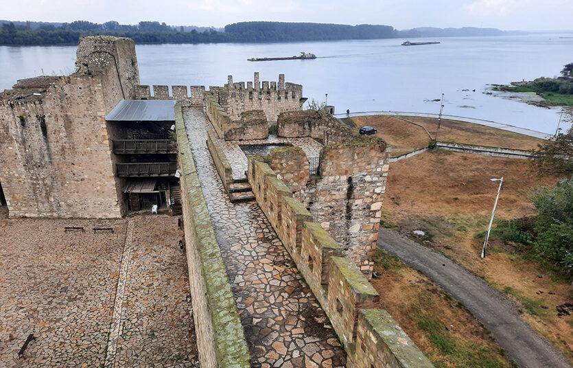
The Danube River alongside the fort’s numerous walls as they’re seen from the inner city’s main rampart.
During its heyday, the fortified manor had a palace, a treasury, a throne hall and several other auxiliary buildings. None of which has survived to these days as the fortress was destroyed and rebuilt a couple of times throughout its existence, with the Ottomans adjusting it according to the technological advancement of weaponry.
photography by: Omri Westmark
The Donjon Tower, or at least what left of it, on the backdrop of the insanely wide Danube River.
Following the German Occupation of Serbia in World War II, a large amount of ammunition and gasoline, seized from the defeated Yugoslav army, were stored in the fortress.
In June 5th 1941, at the midst of the war, for an unknown reason the entire stockpile of weaponry was caught in fire, triggering a massive explosion that virtually destroyed much of Smederevo.
With conservative estimates putting the number of casualties anywhere between 2,000 to 2,500, the blast left a huge crater measuring 9 meter deep and 50 meter long. The explosion was so strong, that shockwaves were even felt in Belgrade, more than 40 kilometers away, devastating the south side of the fortress, in fact, even today part of the damage is still visible.
photography by: Omri Westmark
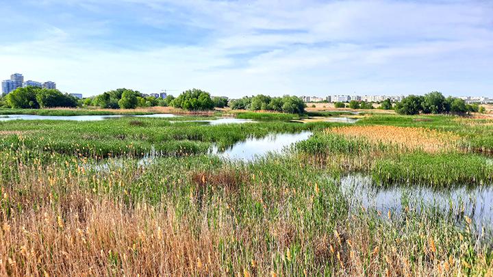
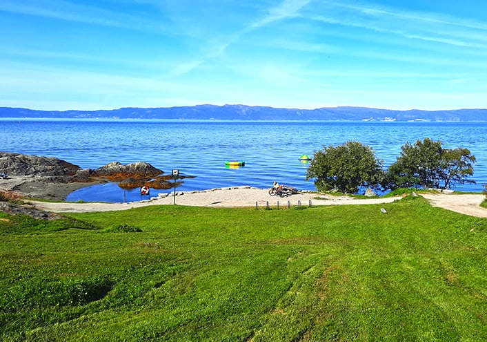
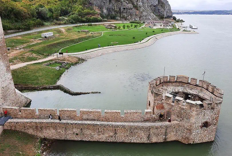
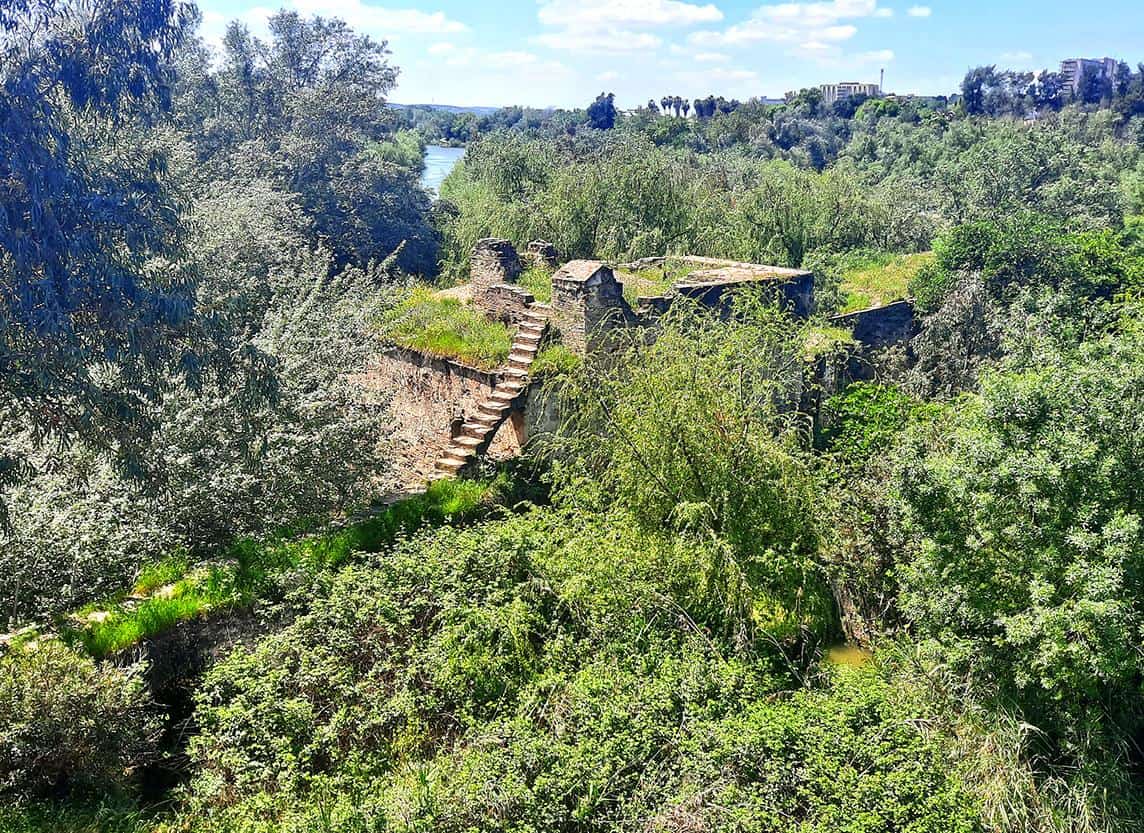
The Danube’s width around the fortress is mind-boggling, reaching more than 2.5 kilometers. Interestingly, when you gaze on the river from the fortified wall, what you actually see is not the Danube’s opposite bank, but an island named Smederevska Ada, a true natural hideaway that is accessible either by a bridge or boat.

photography by: Omri Westmark
The iconic octagonal water-tower sits on the outskirts of the fortress, just slightly outside the walls. While it’s shorter than the other towers, what it lacks in height it surely makes up for in impressive embrasures, making the most prominent feature along the fort’s riverfront esplanade.
photography by: Omri Westmark
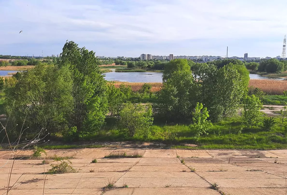
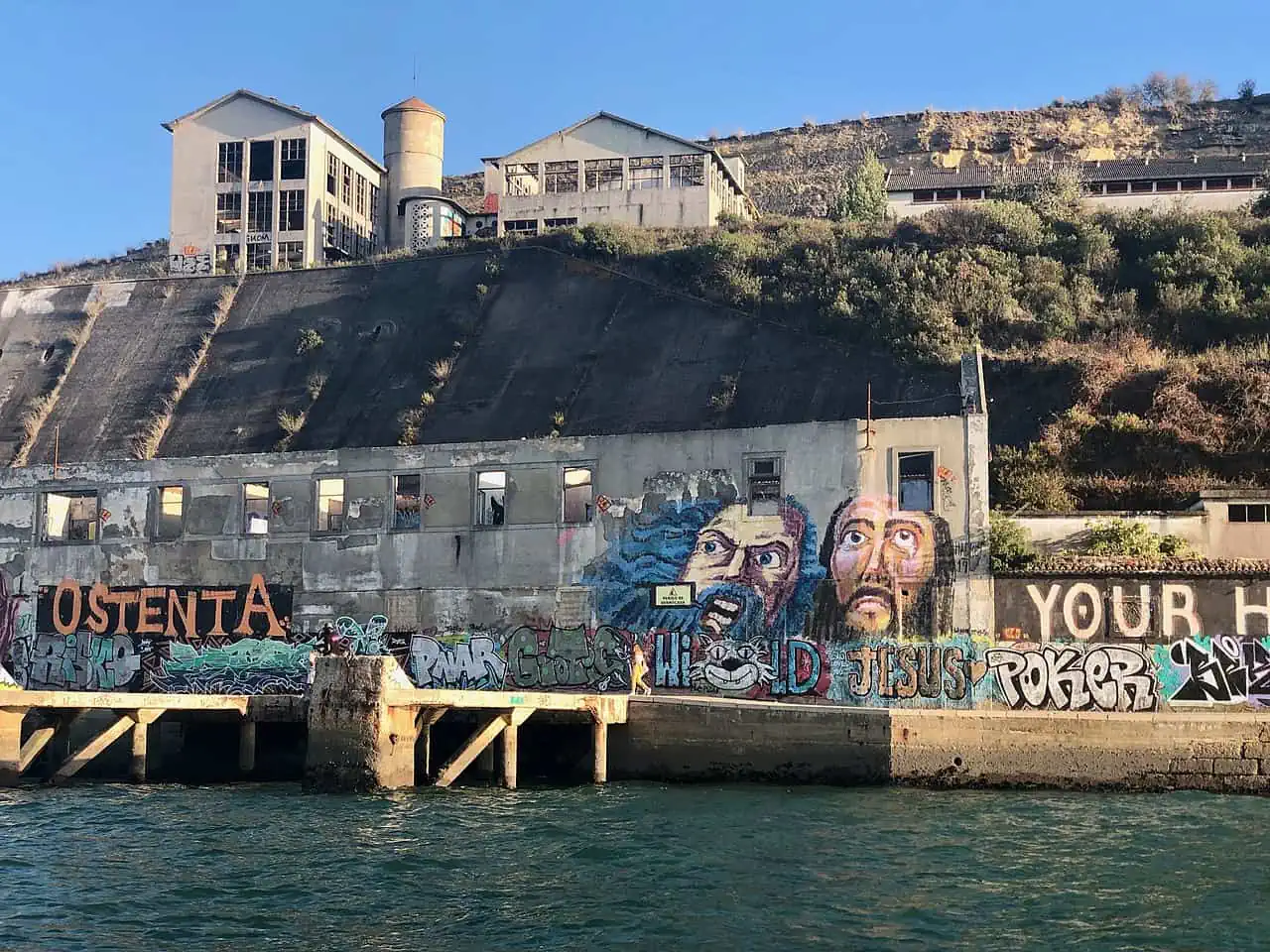
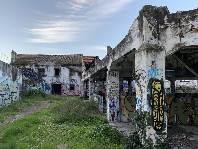
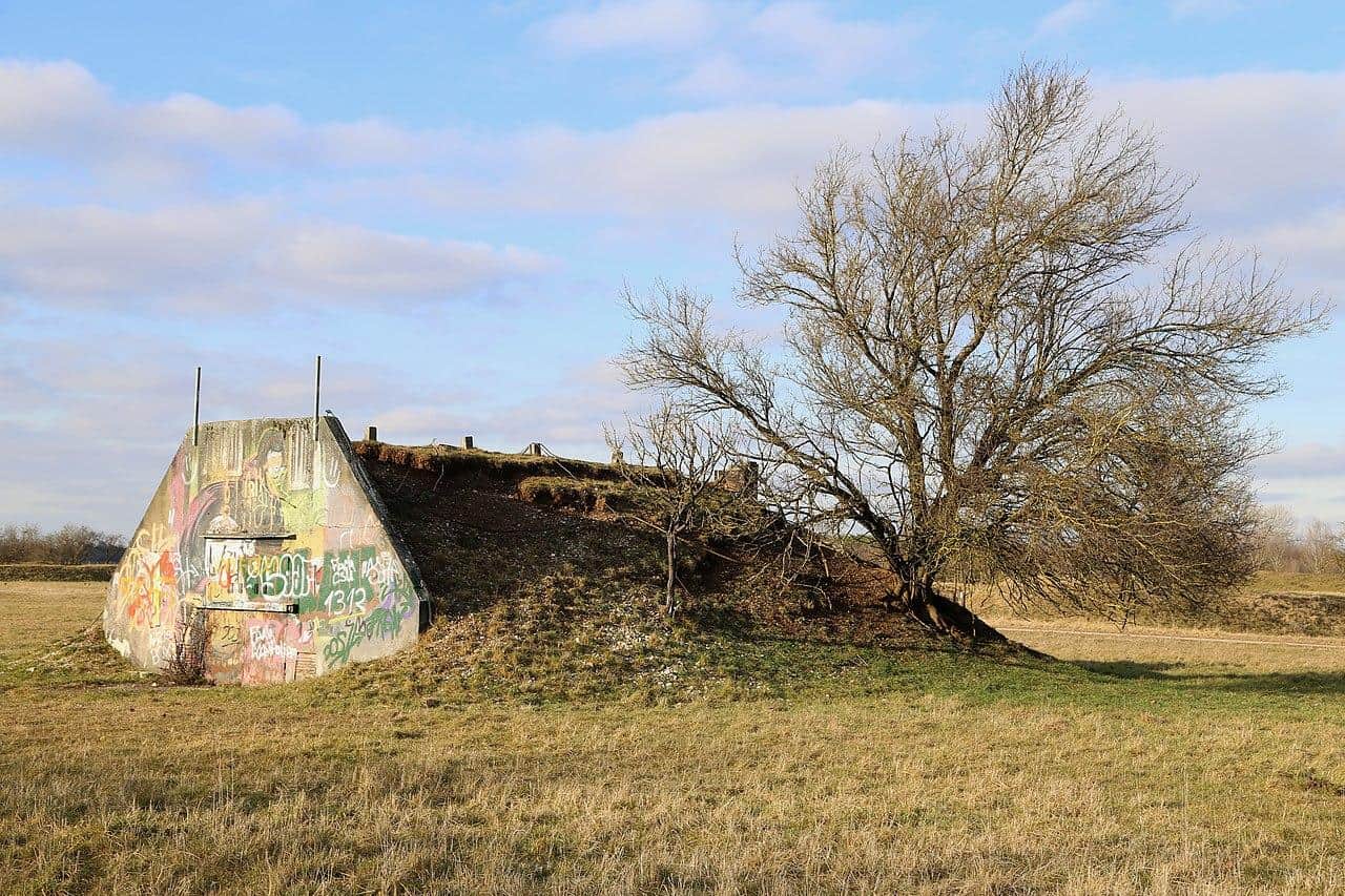
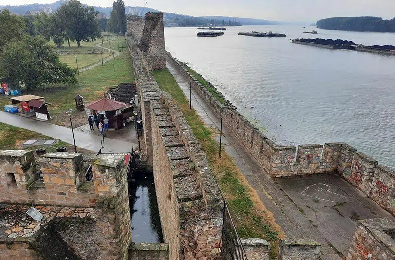
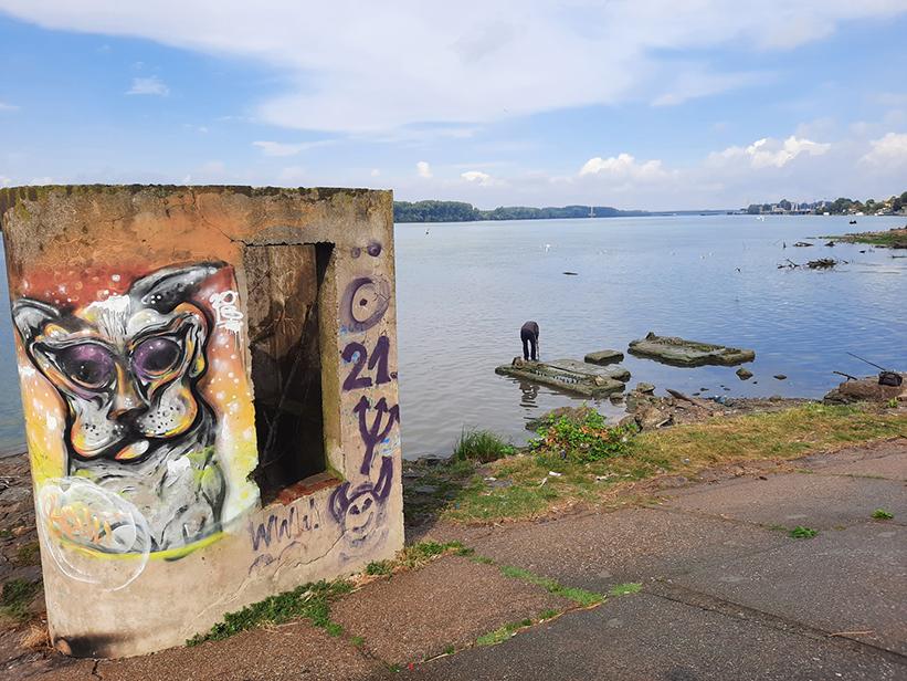
Few meters further ahead is the meeting point of the two rivers, the Danube and the Jezava. The area in front of an abandoned and graffitied concrete outpost serves as a popular spot for local fishermen.
photography by: Omri Westmark
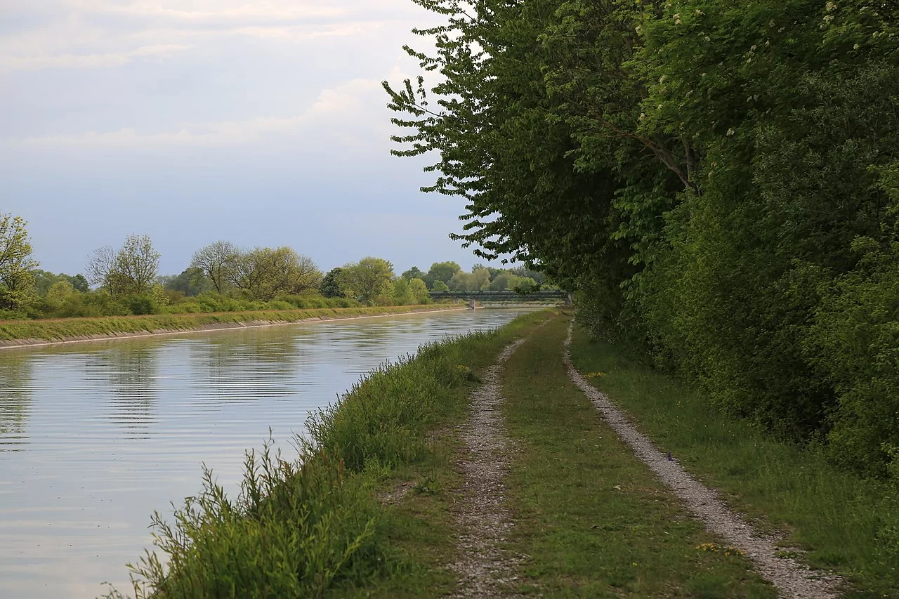
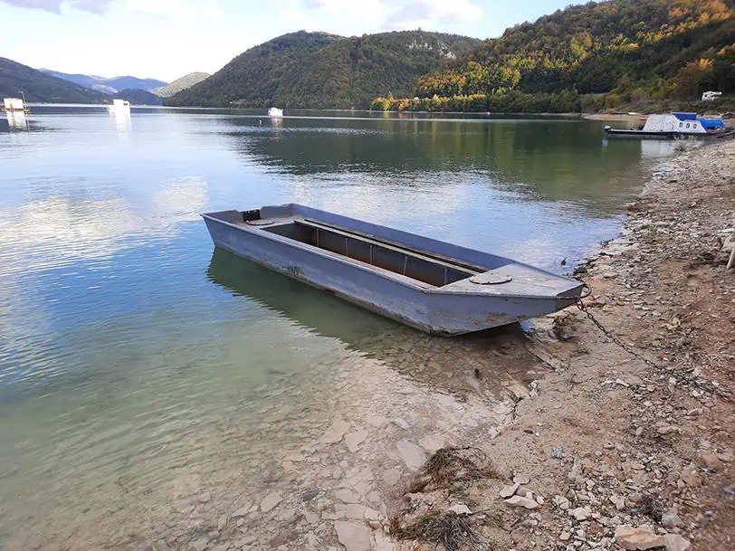
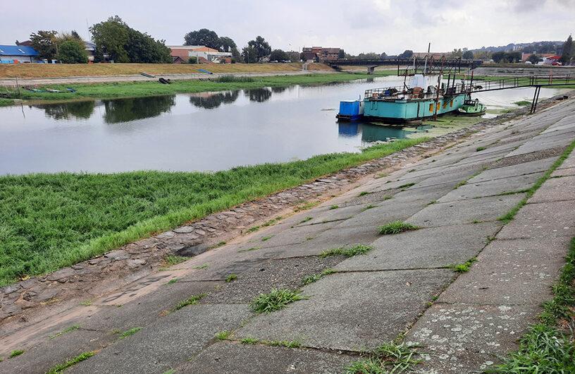
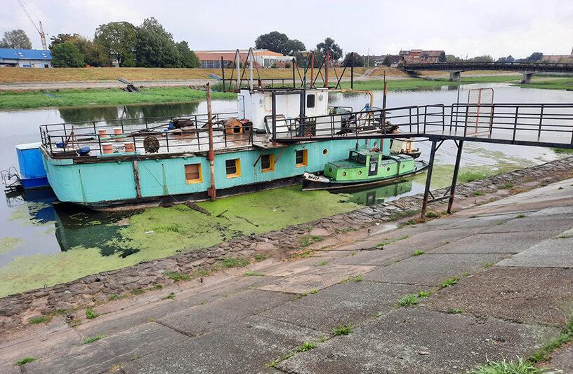
In 1970, partly as a countermeasure against flooding, the Jezava River was diverted, leaving a small disconnected part of it right next to where the river converges with the Danube River.
photography by: Omri Westmark
This segment of the Jezava, the eastern side of the fortress, was practically transformed into a drainage canal, with a lonesome stationary boat functioning as the sole vestige of its previous form and glorious past.
photography by: Omri Westmark